174 Martin Rd Markleysburg, PA 15459
Henry Clay Township NeighborhoodEstimated Value: $190,000 - $280,000
3
Beds
1
Bath
1,432
Sq Ft
$157/Sq Ft
Est. Value
About This Home
This home is located at 174 Martin Rd, Markleysburg, PA 15459 and is currently estimated at $225,201, approximately $157 per square foot. 174 Martin Rd is a home located in Fayette County with nearby schools including Uniontown Area Senior High School.
Ownership History
Date
Name
Owned For
Owner Type
Purchase Details
Closed on
Jun 3, 2020
Sold by
Bartock Anthony E and Bartock Leslie
Bought by
Bartock Anthony E and Bartock Leslie
Current Estimated Value
Purchase Details
Closed on
Aug 17, 2011
Sold by
The Bank Of New York Mellon
Bought by
Bartock Anthony E
Home Financials for this Owner
Home Financials are based on the most recent Mortgage that was taken out on this home.
Original Mortgage
$72,400
Outstanding Balance
$50,245
Interest Rate
4.62%
Mortgage Type
New Conventional
Estimated Equity
$174,956
Purchase Details
Closed on
Feb 1, 2010
Sold by
Brownfield Gary D
Bought by
New York Mellon
Create a Home Valuation Report for This Property
The Home Valuation Report is an in-depth analysis detailing your home's value as well as a comparison with similar homes in the area
Home Values in the Area
Average Home Value in this Area
Purchase History
| Date | Buyer | Sale Price | Title Company |
|---|---|---|---|
| Bartock Anthony E | -- | None Available | |
| Bartock Anthony E | $90,500 | None Available | |
| New York Mellon | -- | None Available |
Source: Public Records
Mortgage History
| Date | Status | Borrower | Loan Amount |
|---|---|---|---|
| Open | Bartock Anthony E | $72,400 |
Source: Public Records
Tax History Compared to Growth
Tax History
| Year | Tax Paid | Tax Assessment Tax Assessment Total Assessment is a certain percentage of the fair market value that is determined by local assessors to be the total taxable value of land and additions on the property. | Land | Improvement |
|---|---|---|---|---|
| 2025 | $1,134 | $44,330 | $13,175 | $31,155 |
| 2024 | $1,082 | $44,330 | $13,175 | $31,155 |
| 2023 | $2,164 | $44,330 | $13,175 | $31,155 |
| 2022 | $2,164 | $44,330 | $13,175 | $31,155 |
| 2021 | $2,164 | $44,330 | $13,175 | $31,155 |
| 2020 | $2,114 | $44,330 | $13,175 | $31,155 |
| 2019 | $1,942 | $44,330 | $13,175 | $31,155 |
| 2018 | $1,838 | $44,330 | $13,175 | $31,155 |
| 2017 | $1,838 | $44,330 | $13,175 | $31,155 |
| 2016 | -- | $44,330 | $13,175 | $31,155 |
| 2015 | -- | $44,330 | $13,175 | $31,155 |
| 2014 | -- | $88,660 | $26,350 | $62,310 |
Source: Public Records
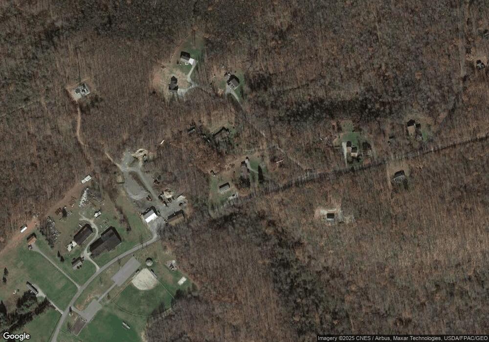
Map
Nearby Homes
- 112 New Beaver Creek Rd
- 000 National Pike
- 171 Mae Rd W
- 516 Braddock Rd
- 4700 National Pike
- 309 Dark Hollow Rd
- 367 Pike School Rd
- 442 Bruceton Rd
- 100 First Street Lot Unit WP001
- 100 First St
- 200 Brown Hill Rd
- 4406 National Pike
- 750 Lake Side Rd
- 4306 National Pike
- 4261 National Pike
- 230 Locust Rd
- #5 & #7 Laurel Rd
- 255 Smith School Rd
- 280 Main St
- 50 Hawes Rd