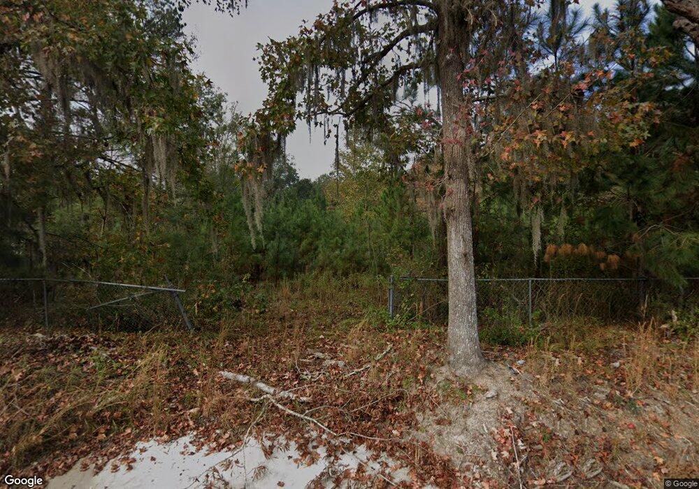
174 Melvin Ln Midway, GA 31320
Estimated Value: $164,000 - $260,000
3
Beds
2
Baths
1,152
Sq Ft
$173/Sq Ft
Est. Value
About This Home
This home is located at 174 Melvin Ln, Midway, GA 31320 and is currently estimated at $199,486, approximately $173 per square foot. 174 Melvin Ln is a home located in Liberty County with nearby schools including Liberty Elementary School, Midway Middle School, and Liberty County High School.
Ownership History
Date
Name
Owned For
Owner Type
Purchase Details
Closed on
Oct 18, 2019
Sold by
Deehr Jacob
Bought by
Ortiz Doreen
Current Estimated Value
Purchase Details
Closed on
May 31, 2019
Sold by
Citimtg Inc
Bought by
Deehr Jacob
Purchase Details
Closed on
May 2, 2017
Sold by
Bacon Harry L
Bought by
Citimortgage Inc
Purchase Details
Closed on
Feb 25, 2013
Sold by
Bacon Harry L
Bought by
Bacon Montez
Purchase Details
Closed on
Dec 30, 2005
Sold by
Hinesville Home Center Inc
Bought by
Bacon Harry L
Purchase Details
Closed on
Mar 8, 1978
Bought by
Bacon Harry L
Create a Home Valuation Report for This Property
The Home Valuation Report is an in-depth analysis detailing your home's value as well as a comparison with similar homes in the area
Home Values in the Area
Average Home Value in this Area
Purchase History
| Date | Buyer | Sale Price | Title Company |
|---|---|---|---|
| Ortiz Doreen | $85,000 | -- | |
| Deehr Jacob | $20,100 | -- | |
| Citimortgage Inc | $54,670 | -- | |
| Bacon Montez | $95,263 | -- | |
| Bacon Harry L | $125,700 | -- | |
| Bacon Harry L | $6,000 | -- |
Source: Public Records
Tax History Compared to Growth
Tax History
| Year | Tax Paid | Tax Assessment Tax Assessment Total Assessment is a certain percentage of the fair market value that is determined by local assessors to be the total taxable value of land and additions on the property. | Land | Improvement |
|---|---|---|---|---|
| 2024 | $1,652 | $35,679 | $11,461 | $24,218 |
| 2023 | $1,652 | $33,107 | $11,461 | $21,646 |
| 2022 | $1,297 | $29,169 | $11,461 | $17,708 |
| 2021 | $1,229 | $27,513 | $11,461 | $16,052 |
| 2020 | $1,231 | $27,725 | $11,461 | $16,264 |
| 2019 | $1,212 | $27,938 | $11,461 | $16,477 |
| 2018 | $1,207 | $28,151 | $11,461 | $16,690 |
| 2017 | $1,408 | $42,772 | $14,922 | $27,850 |
| 2016 | $164 | $43,612 | $14,922 | $28,690 |
| 2015 | $328 | $51,596 | $17,112 | $34,484 |
| 2014 | $328 | $53,249 | $17,125 | $36,124 |
Source: Public Records
Map
Nearby Homes
- 151 Turning Point Ln
- TRACT 1 U S Highway 84 E
- 4620 E Oglethorpe Hwy
- 1 Acre Holmestown Rd
- 1.0 Acre Holmestown Rd
- 334 Isaac Stevens Rd
- 658 Red Oak Ln
- 1109 Sara Ln
- 747 English Oak Dr
- 6223 E Oglethorpe Hwy
- 6228 E Oglethorpe Hwy
- 737 English Oak Dr
- 236 Providence Loop
- 216 Providence Loop
- 23 Hamilton Dr
- 102 Hamilton Dr
- 177 Providence Loop
- 94 Hamilton Dr
- 146 Melvin Ln
- 120 Melvin Ln
- 219 Melvin Ln
- 218 Melvin Ln
- 923 Holmestown Loop Rd
- 209 Melvin Ln
- 909 Holmestown Loop Rd
- 981 Holmestown Loop Rd
- 0 Melvin Ln
- 731 Holmestown Loop Rd
- 800 Holmestown Loop Rd
- 172 Turning Point Ln
- 993 Holmestown Loop Rd
- 128 Turning Point Ln
- 986 Holmestown Loop Rd
- 780 Holmestown Loop Rd
- 748 Holmestown Loop Rd
- 171 Turning Point Ln
- 1028 Holmestown Loop Rd
- 880 Holmestown Loop Rd
