Estimated Value: $458,000 - $560,297
3
Beds
5
Baths
2,126
Sq Ft
$239/Sq Ft
Est. Value
About This Home
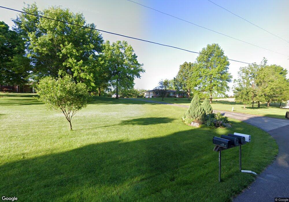
This home is located at 174 Platt Rd, Union, MO 63084 and is currently estimated at $509,149, approximately $239 per square foot. 174 Platt Rd is a home located in Franklin County with nearby schools including Union High School, Immaculate Conception School, and St. John The Baptist School.
Ownership History
Date
Name
Owned For
Owner Type
Purchase Details
Closed on
Oct 23, 2010
Sold by
Simons Andrew F and Simons Elizabeth A
Bought by
Simons Colleen A and Simons Burrell F
Current Estimated Value
Purchase Details
Closed on
Aug 1, 2008
Sold by
Simons Collen A and Simons Burrell F
Bought by
Simmons Andrew F and Simons Elizabeth A
Purchase Details
Closed on
Aug 16, 2005
Sold by
Simons Colleen A and Simons Burrell F
Bought by
Simons Andrew F and Simons Elizabeth A
Create a Home Valuation Report for This Property
The Home Valuation Report is an in-depth analysis detailing your home's value as well as a comparison with similar homes in the area
Purchase History
| Date | Buyer | Sale Price | Title Company |
|---|---|---|---|
| Simons Colleen A | -- | None Available | |
| Simons Andrew F | -- | None Available | |
| Simmons Andrew F | -- | None Available | |
| Simons Andrew F | -- | None Available |
Source: Public Records
Tax History
| Year | Tax Paid | Tax Assessment Tax Assessment Total Assessment is a certain percentage of the fair market value that is determined by local assessors to be the total taxable value of land and additions on the property. | Land | Improvement |
|---|---|---|---|---|
| 2025 | $3,497 | $66,232 | $0 | $0 |
| 2024 | $3,497 | $61,539 | $0 | $0 |
| 2023 | $3,285 | $61,539 | $0 | $0 |
| 2022 | $3,477 | $64,986 | $0 | $0 |
| 2021 | $3,483 | $64,986 | $0 | $0 |
| 2020 | $3,203 | $58,902 | $0 | $0 |
| 2019 | $3,194 | $58,902 | $0 | $0 |
| 2018 | $2,654 | $51,882 | $0 | $0 |
| 2017 | $2,665 | $51,882 | $0 | $0 |
| 2016 | $2,509 | $47,600 | $0 | $0 |
| 2015 | $2,464 | $47,600 | $0 | $0 |
| 2014 | $2,501 | $48,097 | $0 | $0 |
Source: Public Records
Map
Nearby Homes
- 5950 Highway V
- 000 Mo-V
- 0 Highway V
- 435 Eve Estates Dr
- 1157 Rock Rd
- 910 N Church St
- 105 E Roosevelt Ave
- 1008 N Washington Ave
- 1122 Old County Farm Rd
- 406 Emma Ln
- 207 E Park Ave
- N Highway 47 E State Highway 47
- 3732 Highway A
- 1552 Clearview Rd
- 724 E State St
- 614 E State St
- Lot 2 E State Highway 47
- Lot 1 E State Highway 47
- 300 Bourbeuse Rd
- 413 W State St
- 176 Platt Rd
- 158 Platt Rd
- 144 Platt Rd
- 129 Platt Rd
- 121 Platt Rd
- 117 Platt Rd
- 5946 Highway 47
- 5946 Highway 47
- 6019 Highway V
- 6035 Highway V
- 5975 Highway V
- 5802 21 Acres 5802 Hwy V
- 0 Hwy V Lot #2 Plsnt View Acs Unit 10018730
- 0 27 5 Acres Hwy V Unit 14026506
- 5992 Highway V
- 5951 Highway V
- 6081 Highway V
- 5956 Highway V
- 5947 Highway V
- 6083 Highway V
Your Personal Tour Guide
Ask me questions while you tour the home.