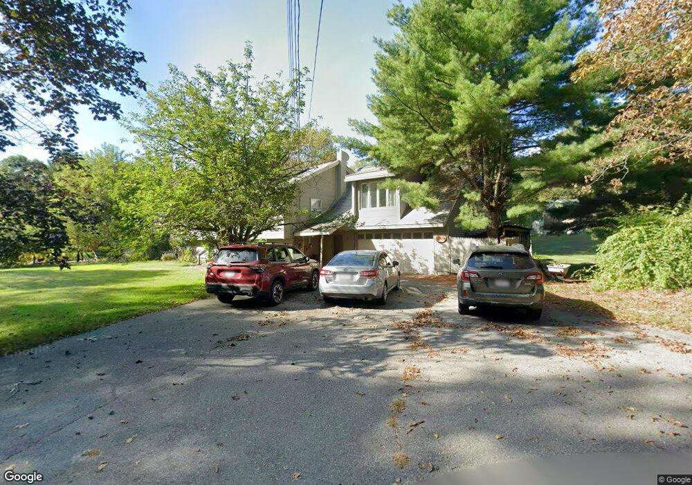
174 Ponakin Rd Lancaster, MA 01523
Estimated Value: $578,000 - $721,000
4
Beds
3
Baths
1,820
Sq Ft
$356/Sq Ft
Est. Value
About This Home
This home is located at 174 Ponakin Rd, Lancaster, MA 01523 and is currently estimated at $648,666, approximately $356 per square foot. 174 Ponakin Rd is a home located in Worcester County with nearby schools including Mary Rowlandson Elementary School, Luther Burbank Middle School, and Nashoba Regional High School.
Ownership History
Date
Name
Owned For
Owner Type
Purchase Details
Closed on
Oct 10, 2012
Sold by
Kennedy Norman and Kennedy Elaine P
Bought by
Kennedy Norman and Kennedy Elaine P
Current Estimated Value
Purchase Details
Closed on
Nov 18, 1982
Bought by
Kennedy Norman C and Kennedy Elaine A
Create a Home Valuation Report for This Property
The Home Valuation Report is an in-depth analysis detailing your home's value as well as a comparison with similar homes in the area
Home Values in the Area
Average Home Value in this Area
Purchase History
| Date | Buyer | Sale Price | Title Company |
|---|---|---|---|
| Kennedy Norman | -- | -- | |
| Kennedy Norman C | -- | -- |
Source: Public Records
Mortgage History
| Date | Status | Borrower | Loan Amount |
|---|---|---|---|
| Previous Owner | Kennedy Norman C | $50,000 | |
| Previous Owner | Kennedy Norman C | $112,600 | |
| Previous Owner | Kennedy Norman C | $12,000 | |
| Previous Owner | Kennedy Norman C | $92,000 |
Source: Public Records
Tax History Compared to Growth
Tax History
| Year | Tax Paid | Tax Assessment Tax Assessment Total Assessment is a certain percentage of the fair market value that is determined by local assessors to be the total taxable value of land and additions on the property. | Land | Improvement |
|---|---|---|---|---|
| 2025 | $8,823 | $546,000 | $110,100 | $435,900 |
| 2024 | $7,611 | $435,900 | $102,500 | $333,400 |
| 2023 | $6,788 | $394,900 | $93,200 | $301,700 |
| 2022 | $7,064 | $363,200 | $96,300 | $266,900 |
| 2021 | $6,877 | $344,200 | $96,300 | $247,900 |
| 2020 | $5,306 | $267,300 | $96,300 | $171,000 |
| 2019 | $5,279 | $267,300 | $96,300 | $171,000 |
| 2018 | $5,293 | $264,900 | $96,300 | $168,600 |
| 2016 | $5,077 | $259,700 | $95,500 | $164,200 |
| 2015 | $4,814 | $256,600 | $95,500 | $161,100 |
| 2014 | $4,763 | $251,900 | $95,500 | $156,400 |
Source: Public Records
Map
Nearby Homes
- 303 Ponakin Rd
- 2038-1 Laurel Hill Ln
- 2038 Laurel Hill Ln Unit LOT 18
- 0 Main St
- 144 Seven Bridge Rd
- 2237 Main St
- 1497 Lunenburg Rd
- 765 Brockelman Road Lot C
- 35 Mcgovern Blvd
- 0 Brockelman Rd Unit 73424117
- 7 Lawson Ave
- 85 Prescott St
- 121 &125 Flanagan Hill Rd
- 132 Kilbourn Rd
- 29 Bennett Ln
- 23 Bennett Ln
- 95 Old Union Turnpike
- 92 Mill St
- 22 Kettle Hole Rd
- 136 Mill St
- 160 Ponakin Rd
- 196 Ponakin Rd
- 141 Schumacher Rd
- 148 Ponakin Rd
- 155 Ponakin Rd
- 212 Ponakin Rd
- 145 Ponakin Rd Unit 2R
- 131 Ponakin Rd
- 228 Ponakin Rd
- 124 Ponakin Rd
- 101 Schumacher Rd
- 119 Ponakin Rd
- 112 Ponakin Rd
- 250 Ponakin Rd Unit A
- 250 Ponakin Rd
- 250 Ponakin Rd Unit 1
- 250 Ponakin Rd Unit 2
- 107 Ponakin Rd
- 98 Ponakin Rd
- 79 Schumacher Rd