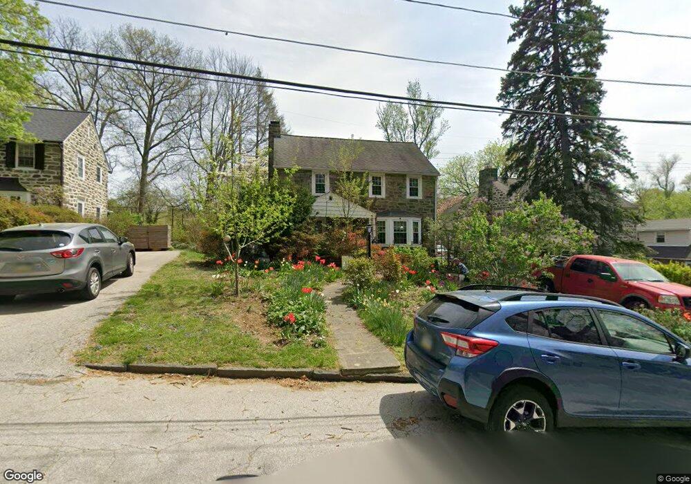
174 Rolling Rd Bala Cynwyd, PA 19004
Estimated Value: $774,000 - $959,000
3
Beds
3
Baths
1,761
Sq Ft
$476/Sq Ft
Est. Value
About This Home
This home is located at 174 Rolling Rd, Bala Cynwyd, PA 19004 and is currently estimated at $838,098, approximately $475 per square foot. 174 Rolling Rd is a home located in Montgomery County with nearby schools including Cynwyd School, Bala-Cynwyd Middle School, and Lower Merion High School.
Ownership History
Date
Name
Owned For
Owner Type
Purchase Details
Closed on
Mar 18, 2025
Sold by
Scarazzini Carol A and Halpin William
Bought by
Halpin William
Current Estimated Value
Purchase Details
Closed on
Jun 24, 2009
Sold by
Deksnis Aldona M and Nevin Maryann
Bought by
Scarazzini Carol A
Home Financials for this Owner
Home Financials are based on the most recent Mortgage that was taken out on this home.
Original Mortgage
$275,000
Interest Rate
4.93%
Create a Home Valuation Report for This Property
The Home Valuation Report is an in-depth analysis detailing your home's value as well as a comparison with similar homes in the area
Home Values in the Area
Average Home Value in this Area
Purchase History
| Date | Buyer | Sale Price | Title Company |
|---|---|---|---|
| Halpin William | -- | None Listed On Document | |
| Halpin William | -- | None Listed On Document | |
| Scarazzini Carol A | $394,100 | None Available |
Source: Public Records
Mortgage History
| Date | Status | Borrower | Loan Amount |
|---|---|---|---|
| Previous Owner | Scarazzini Carol A | $275,000 |
Source: Public Records
Tax History Compared to Growth
Tax History
| Year | Tax Paid | Tax Assessment Tax Assessment Total Assessment is a certain percentage of the fair market value that is determined by local assessors to be the total taxable value of land and additions on the property. | Land | Improvement |
|---|---|---|---|---|
| 2025 | $9,540 | $228,440 | -- | -- |
| 2024 | $9,540 | $228,440 | -- | -- |
| 2023 | $9,142 | $228,440 | $0 | $0 |
| 2022 | $8,973 | $228,440 | $0 | $0 |
| 2021 | $8,769 | $228,440 | $0 | $0 |
| 2020 | $8,555 | $228,440 | $0 | $0 |
| 2019 | $8,404 | $228,440 | $0 | $0 |
| 2018 | $8,403 | $228,440 | $0 | $0 |
| 2017 | $8,095 | $228,440 | $0 | $0 |
| 2016 | $8,005 | $228,440 | $0 | $0 |
| 2015 | $7,464 | $228,440 | $0 | $0 |
| 2014 | $7,464 | $228,440 | $0 | $0 |
Source: Public Records
Map
Nearby Homes
- 116 E Princeton Rd
- 354 Trevor Ln
- 115 David Rd
- 135 Cornell Rd
- 534 Ott Rd
- 717 Stradone Rd
- 51 Academy Rd
- 195 Belmont Ave
- 19 Rock Hill Rd Unit 7-D
- 101 Montgomery Ave Unit A-5
- 50 Belmont Ave Unit 916
- 50 Belmont Ave Unit 317
- 50 Belmont Ave Unit 1013-1014-1015
- 50 Belmont Ave Unit 507
- 50 Belmont Ave Unit 401
- 50 Belmont Ave Unit 1010
- 50 Belmont Ave Unit 107
- 211 Bryn Mawr Ave
- 41 Conshohocken State Rd Unit 109
- 41 Conshohocken State Rd Unit 209
- 170 Rolling Rd
- 178 Rolling Rd
- 166 Rolling Rd
- 175 Rolling Rd
- 182 Rolling Rd
- 161 Rolling Rd
- 190 Rolling Rd
- 155 Rolling Rd
- 193 Rolling Rd
- 130 E Levering Mill Rd
- 194 Rolling Rd
- 124 E Levering Mill Rd
- 150 Rolling Rd
- 135 Rolling Rd
- 150 E Levering Mill Rd
- 105 Rolling Rd
- 372 Trevor Ln
- 131 E Levering Mill Rd
- 135 E Levering Mill Rd
- 141 E Levering Mill Rd