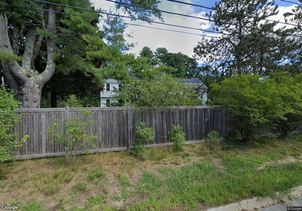
174 Sea Rd Kennebunk, ME 04043
Estimated Value: $743,000 - $1,015,000
4
Beds
3
Baths
2,116
Sq Ft
$421/Sq Ft
Est. Value
About This Home
This home is located at 174 Sea Rd, Kennebunk, ME 04043 and is currently estimated at $890,494, approximately $420 per square foot. 174 Sea Rd is a home located in York County with nearby schools including Kennebunk High School and The New School.
Ownership History
Date
Name
Owned For
Owner Type
Purchase Details
Closed on
Sep 19, 2022
Sold by
Wolfson Funding T
Bought by
Genevieve Z Babin Lt
Current Estimated Value
Purchase Details
Closed on
Aug 18, 2022
Sold by
Wolfson Funding T
Bought by
Genevieve Z Babin Lt
Purchase Details
Closed on
Dec 3, 2008
Sold by
Russell Jack E
Bought by
Wolfson Joseph L and Babin Genevieve Z
Create a Home Valuation Report for This Property
The Home Valuation Report is an in-depth analysis detailing your home's value as well as a comparison with similar homes in the area
Home Values in the Area
Average Home Value in this Area
Purchase History
| Date | Buyer | Sale Price | Title Company |
|---|---|---|---|
| Genevieve Z Babin Lt | -- | None Available | |
| Genevieve Z Babin Lt | -- | None Available | |
| Wolfson Joseph L | -- | -- |
Source: Public Records
Mortgage History
| Date | Status | Borrower | Loan Amount |
|---|---|---|---|
| Previous Owner | Wolfson Joseph L | $75,000 |
Source: Public Records
Tax History Compared to Growth
Tax History
| Year | Tax Paid | Tax Assessment Tax Assessment Total Assessment is a certain percentage of the fair market value that is determined by local assessors to be the total taxable value of land and additions on the property. | Land | Improvement |
|---|---|---|---|---|
| 2024 | $6,529 | $385,200 | $125,200 | $260,000 |
| 2023 | $6,182 | $385,200 | $125,200 | $260,000 |
| 2022 | $5,624 | $385,200 | $125,200 | $260,000 |
| 2021 | $5,489 | $385,200 | $125,200 | $260,000 |
| 2020 | $5,451 | $385,200 | $125,200 | $260,000 |
| 2019 | $5,297 | $385,200 | $125,200 | $260,000 |
| 2018 | $5,056 | $288,900 | $93,900 | $195,000 |
| 2017 | $4,781 | $288,900 | $93,900 | $195,000 |
| 2016 | $4,594 | $288,900 | $93,900 | $195,000 |
| 2015 | $4,420 | $288,900 | $93,900 | $195,000 |
| 2014 | $4,305 | $288,900 | $93,900 | $195,000 |
Source: Public Records
Map
Nearby Homes
- 20 Ephraim Tyler Way Unit 20
- 12 Ephraim Tyler Way
- 57 Southgate Rd
- 15 Benjamin Hubbard Ln Unit 15
- 40 Shorebreezes Ln Unit 40
- 53 Great Hill Rd
- 87 Boothby Rd
- 14 Rachel Dr
- 6 Old Port Rd
- 8 Tidewater Ct
- 5 Heath Rd
- 20 Surf Ln
- Lot#39 Bufflehead Cove Ln
- 175 Beach Ave Unit 2
- 28 River Locks Rd
- 3 Breakwater Ct Unit 1
- 9 Christensen Ln
- 161 Brown St
- 147 Beach Ave Unit 42
- 12 Wallace St