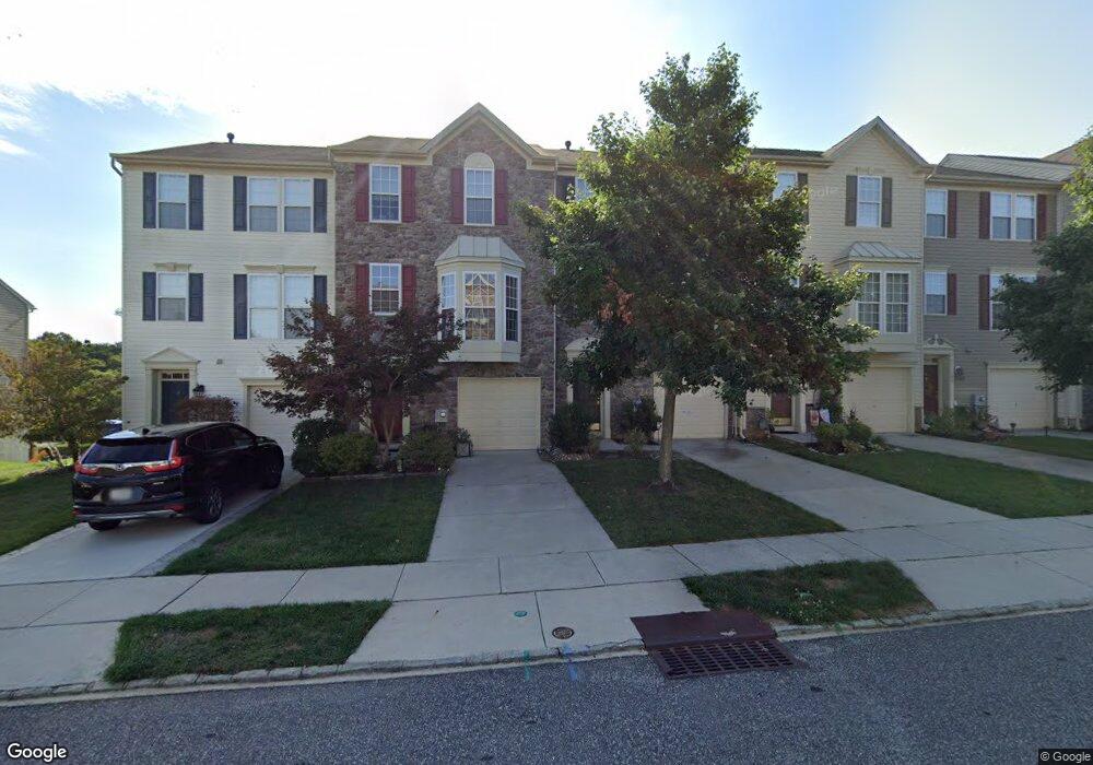
174 South Ave Swedesboro, NJ 08085
Estimated Value: $312,975 - $362,000
--
Bed
--
Bath
1,776
Sq Ft
$195/Sq Ft
Est. Value
About This Home
This home is located at 174 South Ave, Swedesboro, NJ 08085 and is currently estimated at $345,744, approximately $194 per square foot. 174 South Ave is a home located in Gloucester County with nearby schools including Margaret C Clifford School, Gov. Charles C. Stratton School, and Gen. Charles G. Harker School.
Ownership History
Date
Name
Owned For
Owner Type
Purchase Details
Closed on
Jan 24, 2008
Sold by
Nvr Inc
Bought by
Perrong Robert
Current Estimated Value
Home Financials for this Owner
Home Financials are based on the most recent Mortgage that was taken out on this home.
Original Mortgage
$227,417
Outstanding Balance
$143,700
Interest Rate
6.18%
Mortgage Type
FHA
Estimated Equity
$202,044
Purchase Details
Closed on
Sep 7, 2007
Sold by
Westrum Swedesboro Llc
Bought by
Nvr Inc and Ryan Homes
Create a Home Valuation Report for This Property
The Home Valuation Report is an in-depth analysis detailing your home's value as well as a comparison with similar homes in the area
Home Values in the Area
Average Home Value in this Area
Purchase History
| Date | Buyer | Sale Price | Title Company |
|---|---|---|---|
| Perrong Robert | $229,215 | Legacy Title Agency Llc | |
| Nvr Inc | $74,000 | Title America Agency Corp |
Source: Public Records
Mortgage History
| Date | Status | Borrower | Loan Amount |
|---|---|---|---|
| Open | Perrong Robert | $227,417 |
Source: Public Records
Tax History Compared to Growth
Tax History
| Year | Tax Paid | Tax Assessment Tax Assessment Total Assessment is a certain percentage of the fair market value that is determined by local assessors to be the total taxable value of land and additions on the property. | Land | Improvement |
|---|---|---|---|---|
| 2025 | $7,488 | $176,100 | $45,000 | $131,100 |
| 2024 | $7,423 | $176,100 | $45,000 | $131,100 |
| 2023 | $7,423 | $176,100 | $45,000 | $131,100 |
| 2022 | $7,407 | $176,100 | $45,000 | $131,100 |
| 2021 | $7,412 | $176,100 | $45,000 | $131,100 |
| 2020 | $7,150 | $176,100 | $45,000 | $131,100 |
| 2019 | $7,023 | $176,100 | $45,000 | $131,100 |
| 2018 | $7,092 | $176,100 | $45,000 | $131,100 |
| 2017 | $7,053 | $176,100 | $45,000 | $131,100 |
| 2016 | $7,046 | $176,100 | $45,000 | $131,100 |
| 2015 | $6,843 | $176,100 | $45,000 | $131,100 |
| 2014 | $6,668 | $181,900 | $45,000 | $136,900 |
Source: Public Records
Map
Nearby Homes
- 1030 Auburn Rd
- 109 Chestnut St
- 122 East Ave
- 1602 Kings Hwy
- 501 Sammy St
- 1508 Lexington Mews
- 1406 Lexington Mews
- 105 Sammy St
- 613 Sammy St
- 1801 Lexington Mews
- 400 2nd St
- 213 Dalton Dr
- 95 Weston Dr
- 414 Vanneman Ave
- 114 Saratoga Ln
- 137 Davidson Rd
- 104 Waterford Way
- 220 Wilshire Blvd
- 277 Wilshire Blvd
- 4 Hylton Rd