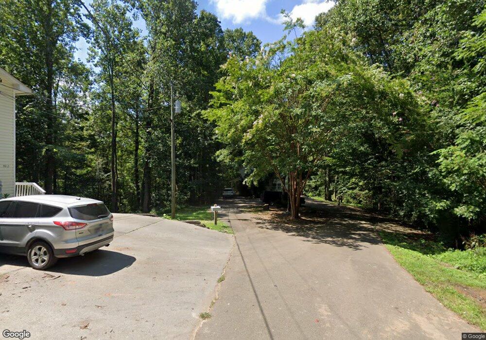
174 Sutton Rd Ellijay, GA 30540
Estimated Value: $418,000 - $2,109,842
2
Beds
1
Bath
936
Sq Ft
$1,350/Sq Ft
Est. Value
About This Home
This home is located at 174 Sutton Rd, Ellijay, GA 30540 and is currently estimated at $1,263,921, approximately $1,350 per square foot. 174 Sutton Rd is a home with nearby schools including Ellijay Elementary School, Clear Creek Elementary School, and Clear Creek Middle School.
Ownership History
Date
Name
Owned For
Owner Type
Purchase Details
Closed on
Apr 28, 2008
Sold by
Burnette William Brett
Bought by
South Pointe Rentals Llc
Current Estimated Value
Home Financials for this Owner
Home Financials are based on the most recent Mortgage that was taken out on this home.
Original Mortgage
$922,655
Interest Rate
5.82%
Mortgage Type
New Conventional
Purchase Details
Closed on
Aug 30, 2004
Sold by
Sweat James Kerry
Bought by
Burnette William B and Burnette Stephanie R
Purchase Details
Closed on
Feb 1, 1996
Bought by
Sweat James Kerry
Create a Home Valuation Report for This Property
The Home Valuation Report is an in-depth analysis detailing your home's value as well as a comparison with similar homes in the area
Home Values in the Area
Average Home Value in this Area
Purchase History
| Date | Buyer | Sale Price | Title Company |
|---|---|---|---|
| South Pointe Rentals Llc | -- | -- | |
| Burnette William B | $950,000 | -- | |
| Sweat James Kerry | $25,000 | -- |
Source: Public Records
Mortgage History
| Date | Status | Borrower | Loan Amount |
|---|---|---|---|
| Closed | South Pointe Rentals Llc | $922,655 |
Source: Public Records
Tax History Compared to Growth
Tax History
| Year | Tax Paid | Tax Assessment Tax Assessment Total Assessment is a certain percentage of the fair market value that is determined by local assessors to be the total taxable value of land and additions on the property. | Land | Improvement |
|---|---|---|---|---|
| 2024 | $14,560 | $939,708 | $21,760 | $917,948 |
| 2023 | $14,987 | $937,028 | $19,080 | $917,948 |
| 2022 | $13,153 | $747,388 | $24,240 | $723,148 |
| 2021 | $11,069 | $557,728 | $22,200 | $535,528 |
| 2020 | $8,892 | $404,276 | $21,880 | $382,396 |
| 2019 | $9,155 | $404,276 | $21,880 | $382,396 |
| 2018 | $9,057 | $394,796 | $16,320 | $378,476 |
| 2017 | $7,269 | $347,592 | $16,320 | $331,272 |
| 2016 | $7,080 | $326,612 | $23,200 | $303,412 |
| 2015 | $7,804 | $316,560 | $40,840 | $275,720 |
| 2014 | -- | $313,400 | $40,840 | $272,560 |
| 2013 | -- | $327,800 | $40,840 | $286,960 |
Source: Public Records
Map
Nearby Homes
- 1 Round Top Rd
- 2 Round Top Rd
- 0 Highway 515 North - 26 79 Acres
- 650 Wingate Rd
- 953 Round Top Rd
- 957 Round Top Rd
- 224 Timber Ridge Ln
- 780 Timber Ridge Ln
- 375 Linger Longer Dr
- 619 Linger Longer Dr
- 100 Carters View Dr
- 248 Tilly Farm Rd
- 562 Linger Longer Dr
- 756 Linger Longer Dr
- 103 Pinecrest Dr Unit 5020
- 103 Pinecrest Dr
- 152 Wendy Hill Rd
- 78 Highwoods #3-5057 Trail
- 78 Highwoods Trail
- 78 Highwoods Trail Unit 3-5057
- 475 Keener Rd
- 235 Sutton Rd
- 315 Sutton Rd
- 467 Keener Rd
- 182 Angels Landing
- 3536 Old Highway 5 S
- 45 Sutton Rd
- 396 Sutton Rd
- 4058 Old Highway 5 S
- 233 Sutton Rd
- 3534 Old Highway 5 S
- 457 Sutton Rd
- 4065 Old Highway 5 S
- 446 Sutton Rd
- 346 Keener Rd
- 67 Angels Landing
- 3945 Old Highway 5 S
- 492 Sutton Rd
- 5022 Highway 515 N
- 107 Angels Landing