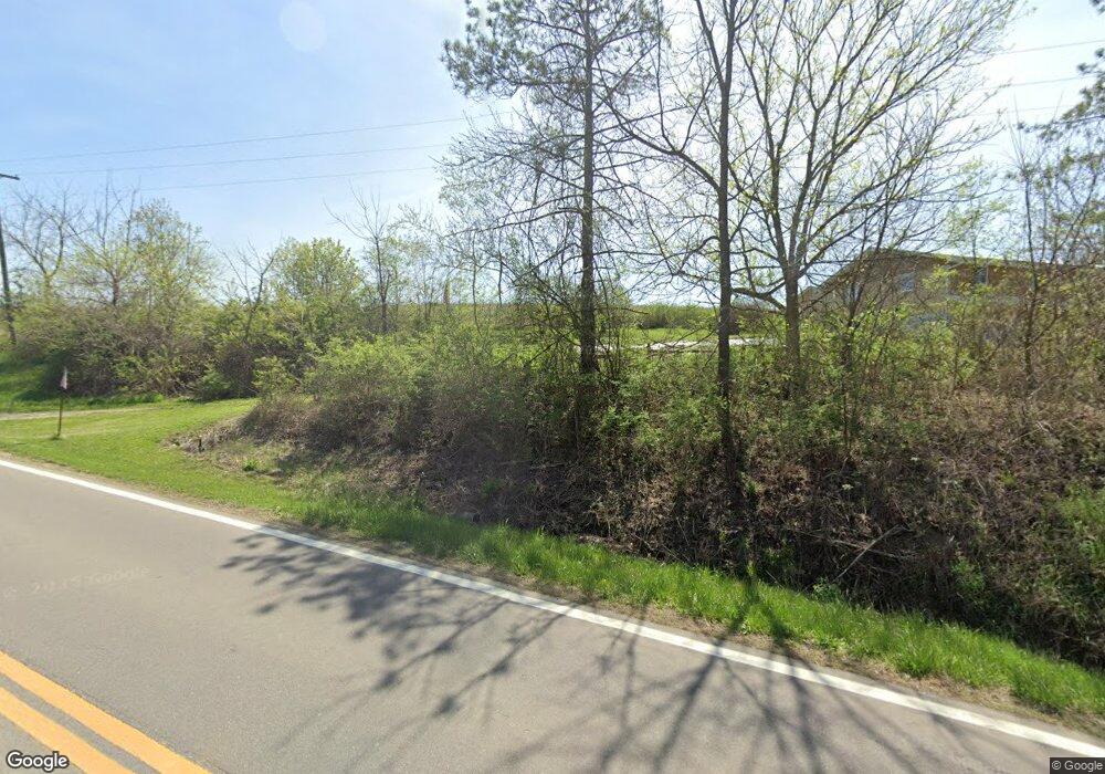
Estimated Value: $314,000 - $363,000
4
Beds
3
Baths
2,950
Sq Ft
$112/Sq Ft
Est. Value
About This Home
This home is located at 1740 N State Route 78 NW, Malta, OH 43758 and is currently estimated at $329,929, approximately $111 per square foot. 1740 N State Route 78 NW is a home with nearby schools including Morgan High School.
Ownership History
Date
Name
Owned For
Owner Type
Purchase Details
Closed on
Jan 16, 2014
Sold by
Presutti Katharine and The Burr Oak Land Trust
Bought by
Huffman Gloria A and Huffman Robert W
Current Estimated Value
Home Financials for this Owner
Home Financials are based on the most recent Mortgage that was taken out on this home.
Original Mortgage
$129,600
Outstanding Balance
$98,252
Interest Rate
4.5%
Mortgage Type
New Conventional
Estimated Equity
$231,677
Purchase Details
Closed on
Jun 25, 1996
Sold by
Miller Andrew L
Bought by
Burr Oak Land Trust
Create a Home Valuation Report for This Property
The Home Valuation Report is an in-depth analysis detailing your home's value as well as a comparison with similar homes in the area
Home Values in the Area
Average Home Value in this Area
Purchase History
| Date | Buyer | Sale Price | Title Company |
|---|---|---|---|
| Huffman Gloria A | $144,000 | Patriot Title Agency Inc | |
| Burr Oak Land Trust | $135,000 | -- |
Source: Public Records
Mortgage History
| Date | Status | Borrower | Loan Amount |
|---|---|---|---|
| Open | Huffman Gloria A | $129,600 |
Source: Public Records
Tax History Compared to Growth
Tax History
| Year | Tax Paid | Tax Assessment Tax Assessment Total Assessment is a certain percentage of the fair market value that is determined by local assessors to be the total taxable value of land and additions on the property. | Land | Improvement |
|---|---|---|---|---|
| 2024 | $2,114 | $75,630 | $9,730 | $65,900 |
| 2023 | $2,114 | $62,530 | $8,290 | $54,240 |
| 2022 | $1,993 | $62,530 | $8,290 | $54,240 |
| 2021 | $2,014 | $62,530 | $8,290 | $54,240 |
| 2020 | $1,980 | $55,140 | $7,210 | $47,930 |
| 2019 | $1,859 | $55,140 | $7,210 | $47,930 |
| 2018 | $1,787 | $55,140 | $7,210 | $47,930 |
| 2017 | $1,930 | $58,258 | $5,964 | $52,294 |
| 2016 | $1,937 | $58,258 | $5,964 | $52,294 |
| 2015 | $1,935 | $58,258 | $5,964 | $52,294 |
| 2014 | $1,703 | $58,419 | $6,125 | $52,294 |
| 2013 | $1,679 | $58,419 | $6,125 | $52,294 |
Source: Public Records
Map
Nearby Homes
- 360 Glass Rd NW
- 307 11th St
- 0 Coler Rd
- 102 8th St
- 6475 Ohio 669
- 3670 N State Route 60 NW
- 361 W Jefferson Ave
- 41 W Bell Ave
- 95 Sunset Dr
- 142 N 5th St
- 0 Upper Douda Rd Unit 225030416
- 262 N 5th St
- 284 N Kennebec Ave
- 1096 N Kennebec Ave
- 1121 N Kennebec Ave
- 422 N Kennebec Ave
- 346 E Union Ave
- 189 S 10th St
- 1740 Ohio 78
- 1520 Ohio 78
- 4980 Oil Springs Rd
- 0 Lemon Hill Rd Unit 2941165
- 0 Lemon Hill Rd Unit 2941044
- 0 Lemon Hill Rd Unit 2940645
- 0 Lemon Hill Rd Unit 2941055
- 0 State Route 669 Unit 210019036
- 1546 N Mcclure Rd NW
- 4112 N Raney Rd
- 00 Southall Ln
- 4209 Brandeberry Rd
- 1500 N State Route 78 NW
- 1549 N Mcclure Rd NW
- 1520 N Best Rd NW
- 1481 N Mcclure Rd NW
- 1481 N Mcclure Rd NW
- 3990 N Raney Rd
- 4499 Barry Earich Ln
- 4499 Barry Earich Ln
