1740 Neel Ave Lancaster, OH 43130
Estimated Value: $364,000 - $797,000
3
Beds
3
Baths
2,129
Sq Ft
$244/Sq Ft
Est. Value
About This Home
This home is located at 1740 Neel Ave, Lancaster, OH 43130 and is currently estimated at $518,598, approximately $243 per square foot. 1740 Neel Ave is a home located in Fairfield County with nearby schools including Medill Elementary School, Thomas Ewing Junior High School, and Lancaster High School.
Ownership History
Date
Name
Owned For
Owner Type
Purchase Details
Closed on
Oct 24, 2006
Sold by
Brown Bruce Lanning
Bought by
Comer David C and Comer Jean R
Current Estimated Value
Home Financials for this Owner
Home Financials are based on the most recent Mortgage that was taken out on this home.
Original Mortgage
$175,000
Outstanding Balance
$104,657
Interest Rate
6.5%
Mortgage Type
Purchase Money Mortgage
Estimated Equity
$413,941
Create a Home Valuation Report for This Property
The Home Valuation Report is an in-depth analysis detailing your home's value as well as a comparison with similar homes in the area
Home Values in the Area
Average Home Value in this Area
Purchase History
| Date | Buyer | Sale Price | Title Company |
|---|---|---|---|
| Comer David C | $278,900 | None Available |
Source: Public Records
Mortgage History
| Date | Status | Borrower | Loan Amount |
|---|---|---|---|
| Open | Comer David C | $175,000 |
Source: Public Records
Tax History Compared to Growth
Tax History
| Year | Tax Paid | Tax Assessment Tax Assessment Total Assessment is a certain percentage of the fair market value that is determined by local assessors to be the total taxable value of land and additions on the property. | Land | Improvement |
|---|---|---|---|---|
| 2024 | $8,651 | $89,090 | $23,150 | $65,940 |
| 2023 | $3,588 | $89,090 | $23,150 | $65,940 |
| 2022 | $3,632 | $89,090 | $23,150 | $65,940 |
| 2021 | $2,945 | $70,250 | $21,040 | $49,210 |
| 2020 | $2,831 | $70,250 | $21,040 | $49,210 |
| 2019 | $2,702 | $70,250 | $21,040 | $49,210 |
| 2018 | $2,604 | $63,970 | $21,040 | $42,930 |
| 2017 | $2,606 | $63,970 | $21,040 | $42,930 |
| 2016 | $2,416 | $63,970 | $21,040 | $42,930 |
| 2015 | $2,419 | $62,090 | $21,040 | $41,050 |
| 2014 | $2,308 | $62,090 | $21,040 | $41,050 |
| 2013 | $2,308 | $62,090 | $21,040 | $41,050 |
Source: Public Records
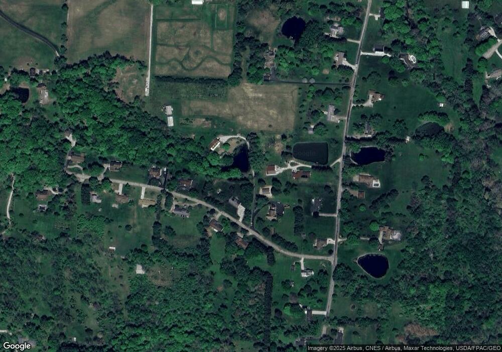
Map
Nearby Homes
- 173 Lakeview Dr NE
- 715 Sherman Bluff Way Unit 14715
- 1916 Country Place
- 1801 Pleasantview Dr NE
- 2149 Pleasantview Dr NE
- 1700 Rosewood Dr NE
- 626 Rainbow Dr NW
- 1189 Ridge Rd NE
- 319 Greenfield Ave
- 2865 Stringtown Rd NW
- 0 Coonpath Rd NW Unit Tract 7 224028097
- 0 Coonpath Rd NW Unit Tract 4 224028093
- 534 Overlook Dr NE
- 0 Old Millersport Rd NE Unit Lot 10 225033491
- 0 Old Millersport Rd NE Unit 225010386
- 0 Old Millersport Rd NE Unit Tract 8 224028101
- 1799 Declaration Dr W
- 0 Tschopp Rd NE Unit Lot 33 225027324
- 0 Tschopp Rd NE Unit Lot 17 225027320
- 0 Declaration Dr W Unit 219044159
- 284 Lakeview Dr NE
- 362 Lakeview Dr NE
- 1735 Stringtown Rd NE
- 304 Lakeview Dr NE
- 304 Lakeview Dr NE
- 283 Lakeview Dr NE
- 256 Lakeview Dr NE
- 1695 Stringtown Rd NE
- 315 Lakeview Dr NE
- 261 Lakeview Dr NE
- 261 Lakeview Dr NE
- 222 Lakeview Dr NE
- 1655 Stringtown Rd NE
- 1795 Stringtown Rd NE
- 241 Lakeview Dr NE
- 1720 Stringtown Rd NE
- 1720 Stringtown Rd NE
- 1825 Stringtown Rd NE
- 1770 Stringtown Rd NE
- 201 Lakeview Dr NE