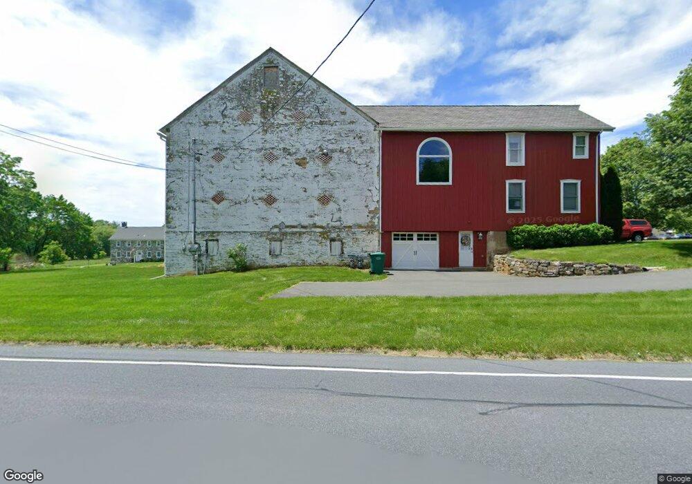
1740 Spring Creek Rd Macungie, PA 18062
Lower Macungie Township East NeighborhoodEstimated Value: $477,000 - $647,000
3
Beds
3
Baths
2,080
Sq Ft
$265/Sq Ft
Est. Value
About This Home
This home is located at 1740 Spring Creek Rd, Macungie, PA 18062 and is currently estimated at $550,243, approximately $264 per square foot. 1740 Spring Creek Rd is a home located in Lehigh County with nearby schools including Willow Lane Elementary School, Eyer Middle School, and Emmaus High School.
Ownership History
Date
Name
Owned For
Owner Type
Purchase Details
Closed on
Dec 16, 2004
Sold by
Hart Gregorie A
Bought by
Hart Gregorie A and Hart Susan
Current Estimated Value
Home Financials for this Owner
Home Financials are based on the most recent Mortgage that was taken out on this home.
Original Mortgage
$179,000
Interest Rate
5.75%
Mortgage Type
Stand Alone Refi Refinance Of Original Loan
Create a Home Valuation Report for This Property
The Home Valuation Report is an in-depth analysis detailing your home's value as well as a comparison with similar homes in the area
Home Values in the Area
Average Home Value in this Area
Purchase History
| Date | Buyer | Sale Price | Title Company |
|---|---|---|---|
| Hart Gregorie A | -- | -- |
Source: Public Records
Mortgage History
| Date | Status | Borrower | Loan Amount |
|---|---|---|---|
| Closed | Hart Gregorie A | $179,000 |
Source: Public Records
Tax History Compared to Growth
Tax History
| Year | Tax Paid | Tax Assessment Tax Assessment Total Assessment is a certain percentage of the fair market value that is determined by local assessors to be the total taxable value of land and additions on the property. | Land | Improvement |
|---|---|---|---|---|
| 2025 | $8,895 | $348,400 | $53,000 | $295,400 |
| 2024 | $7,020 | $284,200 | $53,000 | $231,200 |
| 2023 | $6,880 | $284,200 | $53,000 | $231,200 |
| 2022 | $6,717 | $284,200 | $231,200 | $53,000 |
| 2021 | $6,574 | $284,200 | $53,000 | $231,200 |
| 2020 | $6,511 | $284,200 | $53,000 | $231,200 |
| 2019 | $6,400 | $284,200 | $53,000 | $231,200 |
| 2018 | $6,316 | $284,200 | $53,000 | $231,200 |
| 2017 | $6,206 | $284,200 | $53,000 | $231,200 |
| 2016 | -- | $284,200 | $53,000 | $231,200 |
| 2015 | -- | $284,200 | $53,000 | $231,200 |
| 2014 | -- | $284,200 | $53,000 | $231,200 |
Source: Public Records
Map
Nearby Homes
- 6115 Timberknoll Dr
- 6007 Timberknoll Dr
- 2073 Rolling Meadow Dr
- 1597 Cambridge Dr
- 1536 Cambridge Dr
- 2154 Gorton Rd
- 6563 Lower MacUngie Rd
- 6059 Clubhouse Ln
- 1459 Mohr Cir
- 6645 Stein Way Unit 6639-6661
- 1991 Autumn Ridge Rd
- 6022 Eli Cir
- 5963 Club House Ln
- 6073 Shepherd Hills Ave
- 1339 Brassie St
- 5930 Shepherd Hills Ave
- 1515 Butternut Ln
- 5664 Greens Dr
- 1889 Alexander Dr
- 1360 Walnut Ln
- 6091 Timberknoll Dr
- 6087 Timberknoll Dr
- 1787 Spring Creek Rd
- 6083 Timberknoll Dr
- 6095 Timberknoll Dr
- 6079 Timberknoll Dr
- 6099 Timberknoll Dr
- 1985 Rolling Meadow Dr
- 1989 Rolling Meadow Dr
- 6082 Timberknoll Dr
- 1801 Mill Creek Rd
- 1993 Rolling Meadow Dr
- 6075 Timberknoll Dr
- 6086 Timberknoll Dr
- 1997 Rolling Meadow Dr
- 6090 Timberknoll Dr
- 2170 Rolling Meadow Dr
- 2166 Rolling Meadow Dr
- 1998 Rolling Meadow Dr
- 2001 Rolling Meadow Dr