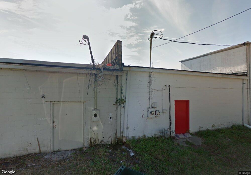
1740 Watson Blvd Warner Robins, GA 31093
Estimated Value: $93,302
Studio
--
Bath
3,000
Sq Ft
$31/Sq Ft
Est. Value
About This Home
This home is located at 1740 Watson Blvd, Warner Robins, GA 31093 and is currently estimated at $93,302, approximately $31 per square foot. 1740 Watson Blvd is a home located in Houston County with nearby schools including Westside Elementary School, Northside Middle School, and Northside High School.
Ownership History
Date
Name
Owned For
Owner Type
Purchase Details
Closed on
Nov 27, 2018
Sold by
Simmons Norman
Bought by
Denae Enterprise Llc
Current Estimated Value
Purchase Details
Closed on
Apr 17, 2000
Sold by
Sugrue Thomas E and Sugrue Rosalie D
Bought by
Sugrue Rosalie D
Purchase Details
Closed on
Feb 1, 1996
Sold by
Sugrue Eva G
Bought by
Sugrue Thomas E
Purchase Details
Closed on
Aug 21, 1990
Sold by
Sugrue Edmund M and Sugrue Eva G
Bought by
Sugrue Eva G
Purchase Details
Closed on
Jun 16, 1965
Bought by
Sugrue Edmund M and Sugrue Eva G
Create a Home Valuation Report for This Property
The Home Valuation Report is an in-depth analysis detailing your home's value as well as a comparison with similar homes in the area
Home Values in the Area
Average Home Value in this Area
Purchase History
| Date | Buyer | Sale Price | Title Company |
|---|---|---|---|
| Denae Enterprise Llc | -- | None Available | |
| Simmons Norman | $45,000 | None Available | |
| Sugrue Rosalie D | -- | -- | |
| Sugrue Thomas E | -- | -- | |
| Sugrue Eva G | -- | -- | |
| Sugrue Edmund M | $11,700 | -- |
Source: Public Records
Tax History
| Year | Tax Paid | Tax Assessment Tax Assessment Total Assessment is a certain percentage of the fair market value that is determined by local assessors to be the total taxable value of land and additions on the property. | Land | Improvement |
|---|---|---|---|---|
| 2024 | $1,175 | $35,920 | $7,200 | $28,720 |
| 2023 | $1,184 | $35,920 | $7,200 | $28,720 |
| 2022 | $826 | $35,920 | $7,200 | $28,720 |
| 2021 | $830 | $35,920 | $7,200 | $28,720 |
| 2020 | $834 | $35,920 | $7,200 | $28,720 |
| 2019 | $835 | $35,920 | $7,200 | $28,720 |
| 2018 | $835 | $35,920 | $7,200 | $28,720 |
| 2017 | $835 | $35,920 | $7,200 | $28,720 |
| 2016 | $837 | $35,920 | $7,200 | $28,720 |
| 2015 | -- | $35,920 | $7,200 | $28,720 |
| 2014 | -- | $35,920 | $7,200 | $28,720 |
| 2013 | -- | $35,920 | $7,200 | $28,720 |
Source: Public Records
Map
Nearby Homes
- 800 N Briarcliff Rd
- 717 Bernard Dr
- 110 Springdale Dr
- 205 Lois Dr
- 504 Sunset Dr
- 118 Briardale Ave
- 133 Briardale Ave
- 110 Briardale Ave
- 119 Woodlawn Ave
- 213 Briarcliff Rd
- 216 Pine Valley Dr
- 118 Meadowcliff Cir
- 402 & 404 Green St
- 103 Spring St
- 111 Marilyn Dr
- 94 Ravenwood Way
- 306 Kingsbury Cir
- 80 Ravenwood Way
- 115 Trinity Dr
- 216 Randall Dr
- 1738 Watson Blvd
- 1744 Watson Blvd
- 1746 Watson Blvd Unit 174
- 1746 Watson Blvd
- 1748 Watson Blvd
- 1752 Watson Blvd
- 1756 Watson Blvd
- 610 Cherokee Dr
- 1758 A Watson Blvd
- 1758 Watson Blvd
- 608 Cherokee Dr
- 612 Cherokee Dr
- 605 Cherokee Dr
- 606 Cherokee Dr
- 108 Hickory St
- 609 Bernard Dr
- 607 Bernard Dr
- 611 Bernard Dr
- 1802 Watson Blvd
- 604 Cherokee Dr
Your Personal Tour Guide
Ask me questions while you tour the home.