Estimated Value: $593,000 - $630,139
4
Beds
4
Baths
2,066
Sq Ft
$296/Sq Ft
Est. Value
About This Home
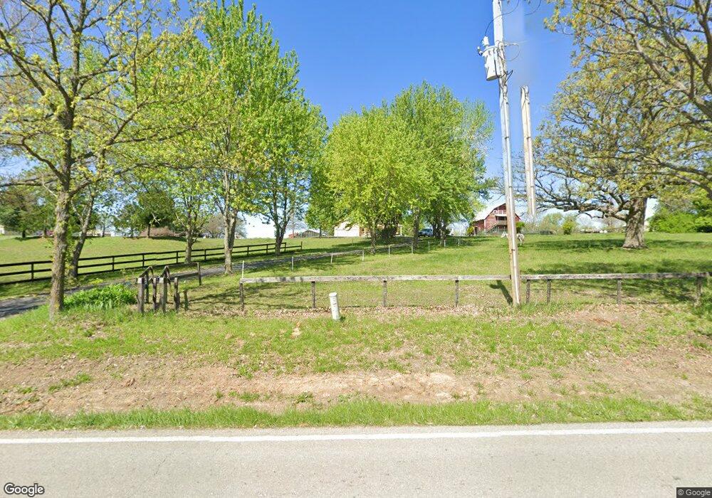
This home is located at 17406 Old Bb, Holt, MO 64048 and is currently estimated at $611,570, approximately $296 per square foot. 17406 Old Bb is a home located in Clay County with nearby schools including Kearney Junior High School and Kearney High School.
Ownership History
Date
Name
Owned For
Owner Type
Purchase Details
Closed on
Aug 15, 2011
Sold by
Brannan Paul A and Klarin Kristina B
Bought by
Cooper Chad J and Cooper Kristin E
Current Estimated Value
Home Financials for this Owner
Home Financials are based on the most recent Mortgage that was taken out on this home.
Original Mortgage
$244,000
Outstanding Balance
$167,761
Interest Rate
4.65%
Mortgage Type
New Conventional
Estimated Equity
$443,809
Purchase Details
Closed on
Apr 26, 2002
Sold by
Dagley Randall B and Dagley Randall Bruce
Bought by
Brannan Paul A and Klarin Kristina B
Purchase Details
Closed on
Sep 8, 1999
Sold by
Woody William D and Woody Marvel L
Bought by
Dagley Randall B and Dagley Randall Bruce
Create a Home Valuation Report for This Property
The Home Valuation Report is an in-depth analysis detailing your home's value as well as a comparison with similar homes in the area
Purchase History
| Date | Buyer | Sale Price | Title Company |
|---|---|---|---|
| Cooper Chad J | -- | Kansas City Title Inc | |
| Brannan Paul A | -- | -- | |
| Dagley Randall B | -- | First Title Inc |
Source: Public Records
Mortgage History
| Date | Status | Borrower | Loan Amount |
|---|---|---|---|
| Open | Cooper Chad J | $244,000 |
Source: Public Records
Tax History
| Year | Tax Paid | Tax Assessment Tax Assessment Total Assessment is a certain percentage of the fair market value that is determined by local assessors to be the total taxable value of land and additions on the property. | Land | Improvement |
|---|---|---|---|---|
| 2025 | $4,544 | $80,120 | -- | -- |
| 2024 | $4,544 | $71,820 | -- | -- |
| 2023 | $4,527 | $71,820 | $0 | $0 |
| 2022 | $4,143 | $63,650 | $0 | $0 |
| 2021 | $4,054 | $63,650 | $12,768 | $50,882 |
| 2020 | $4,178 | $59,600 | $0 | $0 |
| 2019 | $4,154 | $59,600 | $0 | $0 |
| 2018 | $3,995 | $55,390 | $0 | $0 |
| 2017 | $3,947 | $55,390 | $9,730 | $45,660 |
| 2016 | $3,947 | $55,390 | $9,730 | $45,660 |
| 2015 | $3,948 | $55,390 | $9,730 | $45,660 |
| 2014 | $3,804 | $53,090 | $9,730 | $43,360 |
Source: Public Records
Map
Nearby Homes
- 22612 N Prestige Dr
- 22223 NE 159th St
- Lot 10 188th St & Downing Rd
- 0 Meadow Ln
- 17504 State Route 33
- 21619 NE 150th St
- 16816 Landmark Loop
- 17102 Barr Ave
- 201 S Marimack Dr
- 606 Water St
- 610 Waters St
- 102 W Lawrence St
- 26626 NE 162nd St
- 0 Lot 5 Arnold Park Lot N A Unit HMS2572371
- 175 3rd St
- 0 Lot 3 Arnold Park Lot N A Unit HMS2572330
- 9900 NE 172nd St
- 905 Susan St
- 1300 Melissa Ct
- 1102 Susan St
- 17416 Old Bb
- 17318 Old Bb
- 17511 Old Bb
- 17512 Old Bb
- 17306 Old Bb
- 17219 Old Bb
- 17419 Old Bb
- 17524 Old Bb
- 17208 Old Bb
- 17610 Old Bb
- 21624 NE 172nd St
- 17509 Georgetown Rd
- 21604 NE 172nd St
- 17405 Georgetown Rd
- 17425 Georgetown Rd
- 21615 NE 172nd St
- 17620 Old Bb
- 17521 Georgetown Rd
- 22009 NE 172nd St
- 17422 Georgetown Rd
Your Personal Tour Guide
Ask me questions while you tour the home.