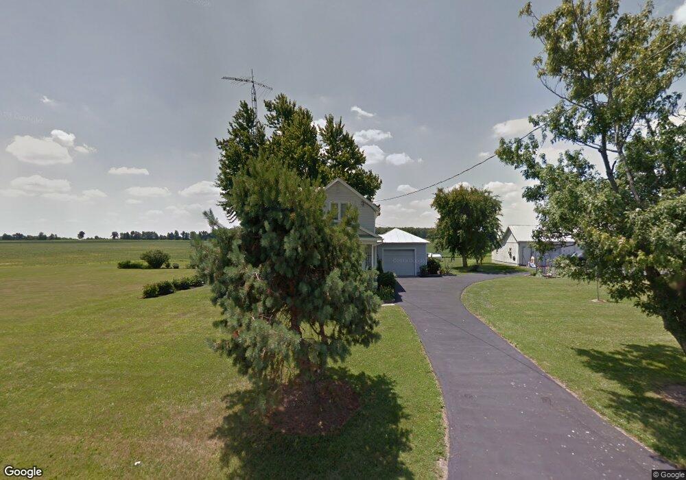
17408 State Route 81 Forest, OH 45843
Estimated Value: $203,275 - $252,000
4
Beds
1
Bath
1,756
Sq Ft
$131/Sq Ft
Est. Value
About This Home
This home is located at 17408 State Route 81, Forest, OH 45843 and is currently estimated at $229,819, approximately $130 per square foot. 17408 State Route 81 is a home located in Hardin County with nearby schools including Riverdale Middle School and Riverdale High School.
Ownership History
Date
Name
Owned For
Owner Type
Purchase Details
Closed on
Mar 17, 2017
Sold by
Beale Justin and Beale Chelsea K
Bought by
Hesson Luther A and Hesson Kelsey M
Current Estimated Value
Home Financials for this Owner
Home Financials are based on the most recent Mortgage that was taken out on this home.
Original Mortgage
$92,000
Outstanding Balance
$76,291
Interest Rate
4.17%
Mortgage Type
New Conventional
Estimated Equity
$153,528
Purchase Details
Closed on
Apr 27, 2015
Bought by
Motter Chelsea K
Purchase Details
Closed on
Nov 8, 1989
Create a Home Valuation Report for This Property
The Home Valuation Report is an in-depth analysis detailing your home's value as well as a comparison with similar homes in the area
Home Values in the Area
Average Home Value in this Area
Purchase History
| Date | Buyer | Sale Price | Title Company |
|---|---|---|---|
| Hesson Luther A | $11,500,000 | Beck Title Agency Ltd | |
| Motter Chelsea K | $95,000 | -- | |
| -- | $45,000 | -- |
Source: Public Records
Mortgage History
| Date | Status | Borrower | Loan Amount |
|---|---|---|---|
| Open | Hesson Luther A | $92,000 |
Source: Public Records
Tax History Compared to Growth
Tax History
| Year | Tax Paid | Tax Assessment Tax Assessment Total Assessment is a certain percentage of the fair market value that is determined by local assessors to be the total taxable value of land and additions on the property. | Land | Improvement |
|---|---|---|---|---|
| 2024 | $1,326 | $43,660 | $8,400 | $35,260 |
| 2023 | $1,326 | $43,660 | $8,400 | $35,260 |
| 2022 | $1,270 | $36,440 | $6,300 | $30,140 |
| 2021 | $1,382 | $36,440 | $6,300 | $30,140 |
| 2020 | $1,385 | $36,440 | $6,300 | $30,140 |
| 2019 | $1,192 | $32,000 | $6,090 | $25,910 |
| 2018 | $1,138 | $32,000 | $6,090 | $25,910 |
| 2017 | $691 | $32,000 | $6,090 | $25,910 |
| 2016 | $929 | $26,400 | $5,570 | $20,830 |
| 2015 | $872 | $26,400 | $5,570 | $20,830 |
| 2014 | $452 | $26,400 | $5,570 | $20,830 |
| 2013 | $872 | $26,400 | $5,570 | $20,830 |
Source: Public Records
Map
Nearby Homes
- 0000 Musson Rd
- 3065 County Road 205
- 615 W Gage St
- 0 S Davis St
- 603 S Gormley St
- 412 S Patterson St
- 0 S Patterson St
- 109 S Davis St
- 312 Louisa St
- 5091 County Road 175
- 0 Township Road 64
- 517 E Patterson St
- 15418 Ohio 37
- 1568 State Route 68
- 18579 Township Highway 49
- 18579 Township Road 49
- 21109 State Route 67
- 2375 Wayne St
- 18322 State Route 67
- 16725 State Route 103
- 17524 State Route 81
- 17524 Ohio 81
- 17524 Sr 81
- 17182 State Route 81
- 17584 State Route 81
- 17617 State Route 81
- 2015 Twp Rd
- 2866 Township Road 185
- 1980 Township Road 183
- 16787 State Route 81
- 17841 State Route 81
- 1976 Township Road 183
- 2541 Township Road 183
- 3111 Township Road 185
- 16660 St Rt 81
- 2724 Township Road 183
- 1891 Township Road 183