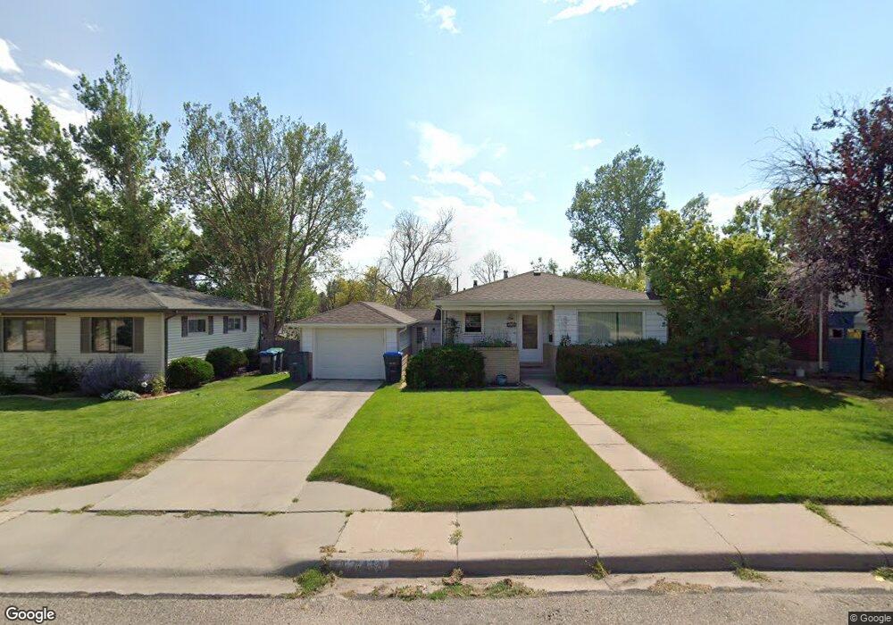
1741 Andover Dr Cheyenne, WY 82001
Estimated Value: $320,000 - $376,000
--
Bed
--
Bath
1,064
Sq Ft
$324/Sq Ft
Est. Value
About This Home
This home is located at 1741 Andover Dr, Cheyenne, WY 82001 and is currently estimated at $345,241, approximately $324 per square foot. 1741 Andover Dr is a home located in Laramie County with nearby schools including Henderson Elementary School, Carey Junior High School, and East High School.
Ownership History
Date
Name
Owned For
Owner Type
Purchase Details
Closed on
Aug 22, 2005
Sold by
Havens Robert D
Bought by
Hartwig Kathleen M
Current Estimated Value
Home Financials for this Owner
Home Financials are based on the most recent Mortgage that was taken out on this home.
Original Mortgage
$139,900
Outstanding Balance
$73,444
Interest Rate
5.65%
Mortgage Type
Fannie Mae Freddie Mac
Estimated Equity
$271,797
Purchase Details
Closed on
Jul 29, 2005
Sold by
Hout Donna M
Bought by
Havens Robert D
Home Financials for this Owner
Home Financials are based on the most recent Mortgage that was taken out on this home.
Original Mortgage
$139,900
Outstanding Balance
$73,444
Interest Rate
5.65%
Mortgage Type
Fannie Mae Freddie Mac
Estimated Equity
$271,797
Create a Home Valuation Report for This Property
The Home Valuation Report is an in-depth analysis detailing your home's value as well as a comparison with similar homes in the area
Home Values in the Area
Average Home Value in this Area
Purchase History
| Date | Buyer | Sale Price | Title Company |
|---|---|---|---|
| Hartwig Kathleen M | -- | -- | |
| Havens Robert D | -- | -- |
Source: Public Records
Mortgage History
| Date | Status | Borrower | Loan Amount |
|---|---|---|---|
| Open | Hartwig Kathleen M | $139,900 |
Source: Public Records
Tax History Compared to Growth
Tax History
| Year | Tax Paid | Tax Assessment Tax Assessment Total Assessment is a certain percentage of the fair market value that is determined by local assessors to be the total taxable value of land and additions on the property. | Land | Improvement |
|---|---|---|---|---|
| 2025 | $1,870 | $20,601 | $3,229 | $17,372 |
| 2024 | $1,870 | $26,451 | $4,305 | $22,146 |
| 2023 | $1,904 | $26,922 | $4,305 | $22,617 |
| 2022 | $1,630 | $22,582 | $4,305 | $18,277 |
| 2021 | $1,545 | $21,354 | $4,305 | $17,049 |
| 2020 | $1,358 | $18,818 | $4,305 | $14,513 |
| 2019 | $1,225 | $16,968 | $4,305 | $12,663 |
| 2018 | $1,100 | $15,375 | $3,969 | $11,406 |
| 2017 | $1,082 | $14,988 | $3,969 | $11,019 |
| 2016 | $1,020 | $14,133 | $3,767 | $10,366 |
| 2015 | $958 | $13,259 | $3,767 | $9,492 |
| 2014 | $1,113 | $15,309 | $3,767 | $11,542 |
Source: Public Records
Map
Nearby Homes
- 1813 Andover Dr
- 1813 Newton Dr
- 1801 Milton Dr
- 3529 Concord Rd
- 1702 Newton Dr
- 3561 Boston Rd
- 3700 Essex Rd
- 1731 E Pershing Blvd
- 1751 E Pershing Blvd
- 3628 Amherst Rd
- 1958 Newton Dr
- 3444 Dover Rd
- 1808 E 21st St
- 1408 E 22nd St
- 1610 E 20th St
- 3333 Duff Ave
- Lot 1 E Phipps Ave
- TBD Charles St
- TBD E Lincolnway
- Tract 1 E Pershing Blvd
- 1747 Andover Dr
- 1735 Andover Dr
- 1753 Andover Dr
- 1729 Andover Dr
- 1740 Newton Dr
- 1746 Newton Dr
- 1734 Newton Dr
- 1759 Andover Dr
- 1752 Newton Dr
- 1740 Andover Dr
- 1723 Andover Dr
- 1728 Newton Dr
- 1746 Andover Dr
- 1736 Andover Dr
- 1752 Andover Dr
- 1758 Newton Dr
- 1728 Andover Dr
- 1765 Andover Dr
- 1720 Newton Dr
- 1758 Andover Dr