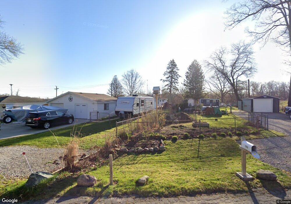
1741 High Haven Dr Unit Bldg-Unit Brighton, MI 48114
Estimated Value: $193,000 - $264,000
3
Beds
2
Baths
1,456
Sq Ft
$150/Sq Ft
Est. Value
About This Home
This home is located at 1741 High Haven Dr Unit Bldg-Unit, Brighton, MI 48114 and is currently estimated at $217,752, approximately $149 per square foot. 1741 High Haven Dr Unit Bldg-Unit is a home located in Livingston County with nearby schools including Three Fires Elementary, Parker Middle School, and Howell High School.
Ownership History
Date
Name
Owned For
Owner Type
Purchase Details
Closed on
Dec 19, 2017
Sold by
Carrig Alan and Carrig Brooke A
Bought by
Degolyer Christopher A and Degolyer Dianne L
Current Estimated Value
Home Financials for this Owner
Home Financials are based on the most recent Mortgage that was taken out on this home.
Original Mortgage
$76,886
Outstanding Balance
$56,935
Interest Rate
3.92%
Mortgage Type
New Conventional
Estimated Equity
$160,817
Purchase Details
Closed on
May 1, 2013
Sold by
Carrig Thomas G
Bought by
Carrig Alan J
Purchase Details
Closed on
Jan 18, 2013
Sold by
Jean Lucille Lietzau Estate
Bought by
Carrig Thomas
Purchase Details
Closed on
Jan 14, 2013
Sold by
Maybee William J and Maybe3e Dee J
Bought by
Jean Lucillelietzau Estate
Purchase Details
Closed on
Jun 17, 1999
Sold by
Maybee Darek J
Bought by
Lietzau Jean Lucille
Create a Home Valuation Report for This Property
The Home Valuation Report is an in-depth analysis detailing your home's value as well as a comparison with similar homes in the area
Home Values in the Area
Average Home Value in this Area
Purchase History
| Date | Buyer | Sale Price | Title Company |
|---|---|---|---|
| Degolyer Christopher A | $90,000 | -- | |
| Carrig Alan J | $75,000 | -- | |
| Carrig Thomas | $70,000 | -- | |
| Jean Lucillelietzau Estate | -- | -- | |
| Maybee William J | -- | -- | |
| Lietzau Jean Lucille | $48,000 | American Title Co |
Source: Public Records
Mortgage History
| Date | Status | Borrower | Loan Amount |
|---|---|---|---|
| Open | Degolyer Christopher A | $76,886 |
Source: Public Records
Tax History Compared to Growth
Tax History
| Year | Tax Paid | Tax Assessment Tax Assessment Total Assessment is a certain percentage of the fair market value that is determined by local assessors to be the total taxable value of land and additions on the property. | Land | Improvement |
|---|---|---|---|---|
| 2025 | $1,368 | $60,500 | $0 | $0 |
| 2024 | $815 | $58,700 | $0 | $0 |
| 2023 | $778 | $49,500 | $0 | $0 |
| 2022 | $1,197 | $43,300 | $0 | $0 |
| 2021 | $1,154 | $48,400 | $0 | $0 |
| 2020 | $1,181 | $46,700 | $0 | $0 |
| 2019 | $1,162 | $43,300 | $0 | $0 |
| 2018 | $1,102 | $42,700 | $0 | $0 |
| 2017 | $1,118 | $42,700 | $0 | $0 |
| 2016 | $1,112 | $42,500 | $0 | $0 |
| 2014 | $1,155 | $46,100 | $0 | $0 |
| 2012 | $1,155 | $43,700 | $0 | $0 |
Source: Public Records
Map
Nearby Homes
- 0000 Clark Lake Rd
- 7662 Hidden Ponds Blvd Unit 2
- 1339 Pond Bluff Way Unit 31
- 8270 McClements Rd
- Lot #8 Deadwood Ln
- LOT #2 & #4 Deadwood Ln
- 1847 Brandy Ln
- Parcel 1 McClements Rd
- Parcel 2 McClements Rd
- 830 Peaceful Ct
- 2755 Monte Vista Ave Unit 39
- 2806 Breckenridge Dr Unit 24
- 2830 Breckenridge Dr
- Woodland Plan at Woodland Shores
- 7566 Radcliffe Unit 60
- TBD Moir Dr
- 8184 Woodland Shore Dr
- 2925 E Telluride
- 1290 Hunter Rd
- 7401 Herbst Rd
- 1741 High Haven Dr
- 1729 High Haven Dr
- 1753 High Haven Dr
- 1705 High Haven Dr
- 1742 High Haven Dr
- 1718 High Haven Dr
- 1718 S Hacker Rd Unit Bldg-Unit
- 1718 S Hacker Rd
- 1706 High Haven Dr
- 1655 High Haven Dr
- 1739 Woodhill Dr
- 1727 Woodhill Dr
- 1759 Woodhill Dr
- 7889 Windhaven Ln
- 1715 Woodhill Dr
- 1703 Woodhill Dr
- 1656 High Haven Dr
- 1644 High Haven Dr
- 1754 S Hacker Rd
- 1631 High Haven Dr