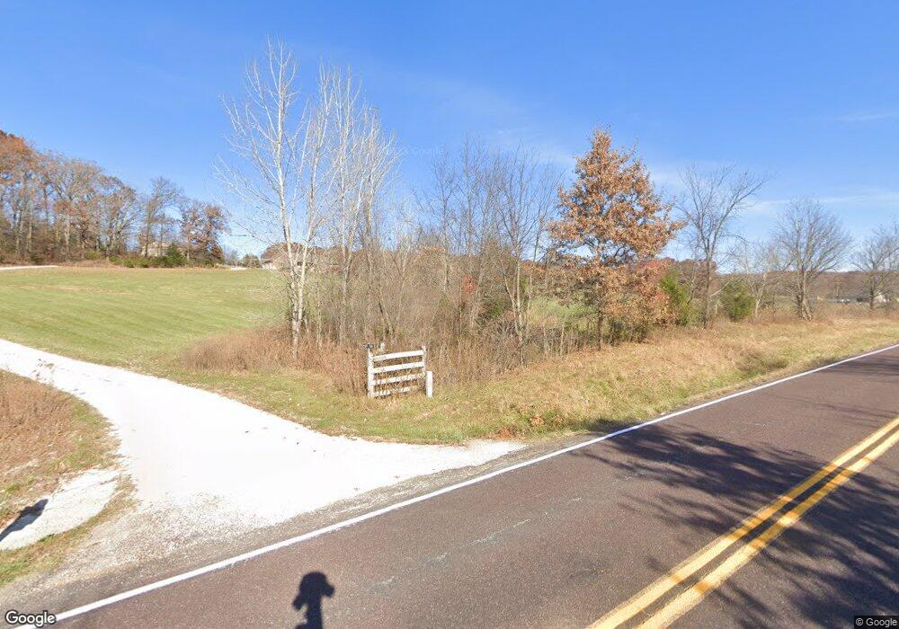
1741 Highway 100 Hermann, MO 65041
Estimated Value: $123,434 - $200,000
3
Beds
2
Baths
1,152
Sq Ft
$136/Sq Ft
Est. Value
About This Home
This home is located at 1741 Highway 100, Hermann, MO 65041 and is currently estimated at $156,109, approximately $135 per square foot. 1741 Highway 100 is a home with nearby schools including Hermann Elementary School, Hermann Middle School, and Hermann High School.
Ownership History
Date
Name
Owned For
Owner Type
Purchase Details
Closed on
Apr 26, 2023
Sold by
Dell Holdings Llc
Bought by
Schmanke Real Estate Holdings Llc
Current Estimated Value
Home Financials for this Owner
Home Financials are based on the most recent Mortgage that was taken out on this home.
Original Mortgage
$70,800
Outstanding Balance
$68,759
Interest Rate
6.6%
Mortgage Type
New Conventional
Estimated Equity
$87,350
Purchase Details
Closed on
Jul 28, 2022
Sold by
Ann Wachter Lisa and Ann Christopher
Bought by
Dell Holdings Llc
Home Financials for this Owner
Home Financials are based on the most recent Mortgage that was taken out on this home.
Original Mortgage
$58,500
Interest Rate
5.78%
Mortgage Type
New Conventional
Purchase Details
Closed on
Apr 19, 2021
Sold by
Fisher Theresa L Frank
Bought by
Wachter Lisa
Create a Home Valuation Report for This Property
The Home Valuation Report is an in-depth analysis detailing your home's value as well as a comparison with similar homes in the area
Purchase History
| Date | Buyer | Sale Price | Title Company |
|---|---|---|---|
| Schmanke Real Estate Holdings Llc | -- | None Listed On Document | |
| Dell Holdings Llc | -- | None Listed On Document | |
| Wachter Lisa | -- | -- |
Source: Public Records
Mortgage History
| Date | Status | Borrower | Loan Amount |
|---|---|---|---|
| Open | Schmanke Real Estate Holdings Llc | $70,800 | |
| Previous Owner | Dell Holdings Llc | $58,500 |
Source: Public Records
Tax History Compared to Growth
Tax History
| Year | Tax Paid | Tax Assessment Tax Assessment Total Assessment is a certain percentage of the fair market value that is determined by local assessors to be the total taxable value of land and additions on the property. | Land | Improvement |
|---|---|---|---|---|
| 2025 | $621 | $9,960 | $0 | $0 |
| 2024 | $576 | $9,140 | $0 | $0 |
| 2023 | $520 | $9,140 | $0 | $0 |
| 2022 | $520 | $52,540 | $0 | $0 |
| 2021 | $520 | $9,137 | $4,801 | $4,336 |
| 2020 | $480 | $8,710 | $0 | $0 |
| 2019 | $485 | $8,710 | $0 | $0 |
| 2018 | $488 | $8,710 | $0 | $0 |
| 2017 | $488 | $8,300 | $0 | $0 |
| 2016 | $513 | $8,710 | $0 | $0 |
| 2015 | -- | $8,710 | $0 | $0 |
| 2014 | -- | $0 | $0 | $0 |
| 2013 | -- | $0 | $0 | $0 |
Source: Public Records
Map
Nearby Homes
- 1477 Old Iron Rd
- 18445 Eagles Nest Dr
- 1845 Eagle Nest Dr
- 2091 Frene Creek Rd
- 114 Oak St
- 129 Oak St
- 1483 Cedar Ridge Dr
- 2020 Choctaw Path
- 1933 First Creek Rd
- 209 Epple Fricke Dr
- 411 Stark Blvd
- 421 W 9th St
- 518 W 7th St
- 405 W 9th St
- 0 Missouri 94
- 419 W 7th St
- 28 Acres Highway 100
- 1402 Gutenberg St
- 1011 Market St
- 128 E 11th St
- 1505 Lip A Tal Rd
- 1749 Highway 100
- 1783 Highway 100
- 1783 Highway 100
- 1737 Highway 100
- 1782 Highway 100
- 1782 Highway 100
- 1782 Highway 100
- 1782 Highway 100
- 1782 Highway 100
- 1500 Lip A Tal Rd
- 1501 Lip A Tal Rd
- 1788 Highway J
- 1788 Highway J
- 1788 Highway J
- 1735 Missouri 100
- 1781 Highway 100
- 1781 Highway 100
- 1781 Highway 100
- 1790 Highway J
