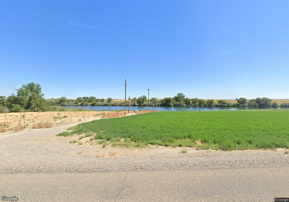
1741 Highway 201 Adrian, OR 97901
Estimated Value: $885,097
--
Bed
--
Bath
1,152
Sq Ft
$768/Sq Ft
Est. Value
About This Home
This home is located at 1741 Highway 201, Adrian, OR 97901 and is currently estimated at $885,097, approximately $768 per square foot. 1741 Highway 201 is a home located in Malheur County with nearby schools including Adrian Elementary School and Adrian High School.
Ownership History
Date
Name
Owned For
Owner Type
Purchase Details
Closed on
Mar 12, 2020
Sold by
Price Rodney D and The Kenneth D Price 1996 Famil
Bought by
Price Rodney D and Price Patti K
Current Estimated Value
Home Financials for this Owner
Home Financials are based on the most recent Mortgage that was taken out on this home.
Original Mortgage
$173,012
Interest Rate
3.4%
Mortgage Type
Unknown
Create a Home Valuation Report for This Property
The Home Valuation Report is an in-depth analysis detailing your home's value as well as a comparison with similar homes in the area
Home Values in the Area
Average Home Value in this Area
Purchase History
| Date | Buyer | Sale Price | Title Company |
|---|---|---|---|
| Price Rodney D | -- | None Available |
Source: Public Records
Mortgage History
| Date | Status | Borrower | Loan Amount |
|---|---|---|---|
| Closed | Price Rodney D | $173,012 |
Source: Public Records
Tax History Compared to Growth
Tax History
| Year | Tax Paid | Tax Assessment Tax Assessment Total Assessment is a certain percentage of the fair market value that is determined by local assessors to be the total taxable value of land and additions on the property. | Land | Improvement |
|---|---|---|---|---|
| 2024 | $2,690 | $243,683 | $69,088 | $174,595 |
| 2023 | $2,451 | $236,723 | $67,213 | $169,510 |
| 2022 | $2,341 | $229,965 | $65,392 | $164,573 |
| 2021 | $2,146 | $197,538 | $63,475 | $134,063 |
| 2020 | $2,087 | $191,986 | $61,827 | $130,159 |
| 2019 | $2,019 | $182,497 | $60,117 | $122,380 |
| 2018 | $1,795 | $160,544 | $58,564 | $101,980 |
| 2017 | $1,707 | $159,036 | $57,056 | $101,980 |
| 2016 | $1,761 | $157,511 | $55,531 | $101,980 |
| 2015 | $1,562 | $141,011 | $54,051 | $86,960 |
| 2014 | $1,553 | $139,573 | $52,613 | $86,960 |
Source: Public Records
Map
Nearby Homes
- 1547 Highway 201
- 830 Snively Gulch Rd
- TBD Snively Gulch Rd
- 1006 Hill Rd
- 31166 Menhart Lane (Private Drive)
- 21488 Case Ln
- TBD Mendiola Rd
- 1964 River Rd
- TBD Drum Lane Lot 5a
- TBD
- TBD Drum Lane Lot 3a
- TBD
- TBD Clydesdale Lane Lot 6b
- 00 Peckham Rd
- Lot 1A Drum Ln
- 887 Overstreet Rd
- 933 Overstreet Rd
- TBD Tbd
- 4.8acTBD Chips Ln
- 646 Overstreet Rd
- 1759 Highway 201
- 1729 Highway 201
- 1764 Highway 201
- 1733 Highway 201
- 1733 Highway 201
- 1733 Highway 201
- 0 Oregon 201
- 1747 Highway 201
- 1770 Highway 201
- 1751 Syringa Rd
- 1770 Oregon 201
- 1711 Highway 201
- 821 Rockefeller Rd
- 852 Redtop Rd
- 1683 Highway 201
- 821 Rockerfella Rd
- 1760 Syringa Rd
- 1825 Boster Ln
- 1842 Highway 201
- 1835 Highway 201
