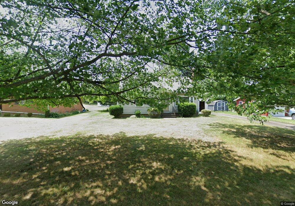
1741 Lilly Ln Alliance, OH 44601
Estimated Value: $125,000 - $202,000
2
Beds
2
Baths
1,134
Sq Ft
$151/Sq Ft
Est. Value
About This Home
This home is located at 1741 Lilly Ln, Alliance, OH 44601 and is currently estimated at $171,649, approximately $151 per square foot. 1741 Lilly Ln is a home located in Stark County with nearby schools including Alliance Early Learning School, Alliance Intermediate School at Northside, and Alliance Middle School.
Ownership History
Date
Name
Owned For
Owner Type
Purchase Details
Closed on
May 23, 1997
Sold by
Schmidt John N
Bought by
Richeson Gerald L
Current Estimated Value
Home Financials for this Owner
Home Financials are based on the most recent Mortgage that was taken out on this home.
Original Mortgage
$69,675
Outstanding Balance
$9,742
Interest Rate
8.24%
Mortgage Type
New Conventional
Estimated Equity
$161,907
Create a Home Valuation Report for This Property
The Home Valuation Report is an in-depth analysis detailing your home's value as well as a comparison with similar homes in the area
Home Values in the Area
Average Home Value in this Area
Purchase History
| Date | Buyer | Sale Price | Title Company |
|---|---|---|---|
| Richeson Gerald L | $82,000 | -- |
Source: Public Records
Mortgage History
| Date | Status | Borrower | Loan Amount |
|---|---|---|---|
| Open | Richeson Gerald L | $69,675 |
Source: Public Records
Tax History Compared to Growth
Tax History
| Year | Tax Paid | Tax Assessment Tax Assessment Total Assessment is a certain percentage of the fair market value that is determined by local assessors to be the total taxable value of land and additions on the property. | Land | Improvement |
|---|---|---|---|---|
| 2025 | -- | $53,350 | $14,740 | $38,610 |
| 2024 | -- | $53,350 | $14,740 | $38,610 |
| 2023 | $1,758 | $43,760 | $11,660 | $32,100 |
| 2022 | $1,770 | $43,760 | $11,660 | $32,100 |
| 2021 | $1,772 | $43,760 | $11,660 | $32,100 |
| 2020 | $1,627 | $37,530 | $10,120 | $27,410 |
| 2019 | $1,604 | $37,530 | $10,120 | $27,410 |
| 2018 | $1,611 | $37,530 | $10,120 | $27,410 |
| 2017 | $1,411 | $32,340 | $7,840 | $24,500 |
| 2016 | $1,448 | $32,910 | $7,840 | $25,070 |
| 2015 | $1,461 | $32,910 | $7,840 | $25,070 |
| 2014 | $1,441 | $30,910 | $7,390 | $23,520 |
| 2013 | $719 | $30,910 | $7,390 | $23,520 |
Source: Public Records
Map
Nearby Homes
- 2050 Federal Ave
- 884 W College Rd
- 2112 Blenheim Ave
- 1201 Overlook Dr
- 1515 S Rockhill Ave
- 1321 Parkway Blvd
- 1038 Fairview Place
- 2220 Western Ave
- 970 Kingsway St
- 738 Kingsway St
- 1059 Oakwood Dr
- 896 Parkway Blvd
- 734 Parkway Blvd
- 2839 S Rockhill Ave
- 725 W Summit St
- 645 W Summit St
- 2081 Marwood Cir
- 112 E College St
- 0 Winchester St
- 0 Winchester St Unit 5162877
- 1723 Lilly Ln
- 1801 Lilly Ln
- 1740 Fernwood Blvd
- 1750 Fernwood Blvd
- 1707 Lilly Ln
- 1813 Lilly Ln
- 1740 Lilly Ln
- 1794 Lilly Ln
- 1732 Lilly Ln
- 1718 Fernwood Blvd
- 1720 Lilly Ln
- 1810 Fernwood Blvd
- 1700 Fernwood Blvd
- 1706 Lilly Ln
- 1821 Lilly Ln
- 1826 Lilly Ln
- 1822 Fernwood Blvd
- 1187 W College Rd
- 1175 W College Rd
- 1739 Fairview Place