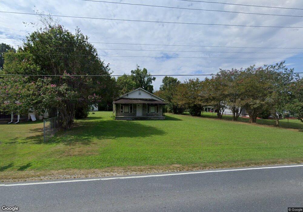
1741 Nc Highway 62 W High Point, NC 27263
Greater High Point NeighborhoodEstimated Value: $165,000 - $181,000
2
Beds
1
Bath
936
Sq Ft
$187/Sq Ft
Est. Value
About This Home
This home is located at 1741 Nc Highway 62 W, High Point, NC 27263 and is currently estimated at $174,829, approximately $186 per square foot. 1741 Nc Highway 62 W is a home located in Guilford County with nearby schools including Allen Jay Elementary School, Southern Guilford Middle, and Southern Guilford High School.
Ownership History
Date
Name
Owned For
Owner Type
Purchase Details
Closed on
Nov 20, 2003
Sold by
Manring Alton J
Bought by
Tran Kim
Current Estimated Value
Home Financials for this Owner
Home Financials are based on the most recent Mortgage that was taken out on this home.
Original Mortgage
$52,000
Outstanding Balance
$23,990
Interest Rate
5.93%
Mortgage Type
Purchase Money Mortgage
Estimated Equity
$150,839
Create a Home Valuation Report for This Property
The Home Valuation Report is an in-depth analysis detailing your home's value as well as a comparison with similar homes in the area
Home Values in the Area
Average Home Value in this Area
Purchase History
| Date | Buyer | Sale Price | Title Company |
|---|---|---|---|
| Tran Kim | $65,000 | -- |
Source: Public Records
Mortgage History
| Date | Status | Borrower | Loan Amount |
|---|---|---|---|
| Open | Tran Kim | $52,000 |
Source: Public Records
Tax History Compared to Growth
Tax History
| Year | Tax Paid | Tax Assessment Tax Assessment Total Assessment is a certain percentage of the fair market value that is determined by local assessors to be the total taxable value of land and additions on the property. | Land | Improvement |
|---|---|---|---|---|
| 2025 | $724 | $82,600 | $37,500 | $45,100 |
| 2024 | $724 | $82,600 | $37,500 | $45,100 |
| 2023 | $724 | $82,600 | $37,500 | $45,100 |
| 2022 | $724 | $82,600 | $37,500 | $45,100 |
| 2021 | $582 | $66,300 | $33,000 | $33,300 |
| 2020 | $582 | $66,300 | $33,000 | $33,300 |
| 2019 | $582 | $66,300 | $0 | $0 |
| 2018 | $579 | $66,300 | $0 | $0 |
| 2017 | $561 | $66,300 | $0 | $0 |
| 2016 | $574 | $65,600 | $0 | $0 |
| 2015 | $577 | $65,600 | $0 | $0 |
| 2014 | $584 | $65,600 | $0 | $0 |
Source: Public Records
Map
Nearby Homes
- 0 Waterbury Dr
- 301 Oak Ridge Dr
- 1843 Weant Rd
- 202 Oak Ridge Dr
- 105 Oak Ridge Dr
- 105 Willow Terrace
- 108 Willow Terrace
- 1640 Kersey Valley Rd
- 6007 Checker Rd
- 6318 Gray Farm Rd
- 107 Autumn Hill Ct
- 104 Autumn Hill Ct
- 6955 Harlow Dr
- 510 Aldridge Rd
- 4216 Huff Rd
- 1206 Byron Ln
- 108 Sprucewood Ct
- 1846 Sechrest Cir
- 0 Sprucewood Ct
- 3827 Wood Ave
- 1743 Nc Highway 62 W
- 1739 Nc Highway 62 W
- 1745 Nc Highway 62 W
- 1737 Nc Highway 62 W
- 1747 Nc Highway 62 W
- 1742 Nc Highway 62 W
- 6907 Windhaven Ct
- 1733 Nc Highway 62 W
- 1749 Nc Highway 62 W
- 1755 Nc Highway 62 W
- 6911 Windhaven Ct
- 1731 Nc Highway 62 W
- 6903 Windhaven Ct
- 1729 Nc Highway 62 W
- 6309 Modlin Grove Rd
- 6908 Windhaven Ct
- 6305 Modlin Grove Rd
- 6301 Modlin Grove Rd
- 6221 Modlin Grove Rd
- 6902 Windhaven Ct