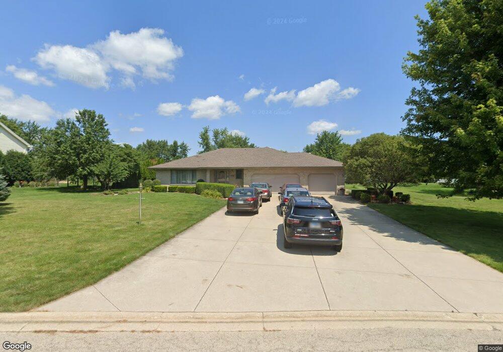
1741 Pheasant Ln New Lenox, IL 60451
Estimated Value: $576,000 - $585,000
--
Bed
--
Bath
--
Sq Ft
0.95
Acres
About This Home
This home is located at 1741 Pheasant Ln, New Lenox, IL 60451 and is currently estimated at $580,500. 1741 Pheasant Ln is a home located in Will County with nearby schools including Spencer Trail, Spencer Pointe, and Spencer Crossing Intermediate School.
Ownership History
Date
Name
Owned For
Owner Type
Purchase Details
Closed on
Aug 28, 1997
Sold by
Kuznieski Christopher J and Kuznieski Susan A
Bought by
Cirrencione Terry E and Cirrencione Cheryl L
Current Estimated Value
Purchase Details
Closed on
Feb 13, 1995
Sold by
Simmons Lewis W and Simmons Susan A
Bought by
Kuznieski Christopher J and Kuznieski Susan A
Create a Home Valuation Report for This Property
The Home Valuation Report is an in-depth analysis detailing your home's value as well as a comparison with similar homes in the area
Home Values in the Area
Average Home Value in this Area
Purchase History
| Date | Buyer | Sale Price | Title Company |
|---|---|---|---|
| Cirrencione Terry E | $65,666 | Land Title Group Inc | |
| Kuznieski Christopher J | $51,000 | Chicago Title Insurance Co |
Source: Public Records
Tax History Compared to Growth
Tax History
| Year | Tax Paid | Tax Assessment Tax Assessment Total Assessment is a certain percentage of the fair market value that is determined by local assessors to be the total taxable value of land and additions on the property. | Land | Improvement |
|---|---|---|---|---|
| 2024 | $12,895 | $172,808 | $38,125 | $134,683 |
| 2023 | $12,895 | $157,528 | $34,754 | $122,774 |
| 2022 | $11,604 | $145,121 | $32,017 | $113,104 |
| 2021 | $11,027 | $136,482 | $30,111 | $106,371 |
| 2020 | $10,716 | $131,613 | $29,037 | $102,576 |
| 2019 | $10,254 | $127,532 | $28,137 | $99,395 |
| 2018 | $10,019 | $123,136 | $27,167 | $95,969 |
| 2017 | $9,513 | $119,596 | $26,386 | $93,210 |
| 2016 | $9,237 | $116,395 | $25,680 | $90,715 |
| 2015 | $8,949 | $112,732 | $24,872 | $87,860 |
| 2014 | $8,949 | $111,340 | $24,565 | $86,775 |
| 2013 | $8,949 | $112,841 | $24,896 | $87,945 |
Source: Public Records
Map
Nearby Homes
- 22559 S Country Ln
- 2980 Oak Rail Dr
- 2124 Sky Harbor Dr
- 1401 Ottawa Dr
- 2125 Sky Harbor Dr
- 2165 High View Rd
- 2164 Sky Harbor Dr
- 2166 Sky Harbor Dr
- 500 E Laraway Rd
- 550 E Laraway Rd
- 2185 Bristol Park Rd
- 2019 Royalglen Dr
- 911 Canongate Ln
- 2067 Edgeview Dr
- 1501 Glenbrooke Ln
- 1515 Glenbrooke Ln
- Avalon Plan at Leigh Creek - Townhome
- Hampton Plan at Leigh Creek - Townhome
- 1781 Orchard Ln
- 2461 Stone Creek Dr
- 1721 Pheasant Ln
- 1761 Pheasant Ln
- 1609 Pheasant Ln
- 1801 Pheasant Ln
- 2701 Chessington Dr
- 2700 Chessington Dr
- 1710 Tomahawk Ridge
- 1607 Pheasant Ln
- 1800 Tomahawk Ridge Unit 1
- 1821 Pheasant Ln
- 1802 Tomahawk Ridge
- 1608 Pheasant Ln
- 2721 Chessington Dr
- 1608 Tomahawk Ridge
- 1804 Tomahawk Ridge
- 2640 Farm View Rd
- 2690 Farm View Rd
- 2630 Farm View Rd
- 1841 Pheasant Ln
- 2740 Chessington Dr