1741 Rivermist Dr Monroe, GA 30655
Estimated Value: $492,000 - $660,000
Studio
--
Bath
2,407
Sq Ft
$239/Sq Ft
Est. Value
About This Home
This home is located at 1741 Rivermist Dr, Monroe, GA 30655 and is currently estimated at $575,459, approximately $239 per square foot. 1741 Rivermist Dr is a home located in Walton County with nearby schools including Atha Road Elementary School, Youth Middle School, and Walnut Grove High School.
Ownership History
Date
Name
Owned For
Owner Type
Purchase Details
Closed on
May 15, 2001
Sold by
Better Homes Inc
Bought by
Vansant Joseph D and Vansant Scarlett
Current Estimated Value
Purchase Details
Closed on
Jan 31, 2000
Sold by
Parnell Harry B and Parnell Margaret I
Bought by
Better Homes Inc
Purchase Details
Closed on
Dec 19, 1997
Sold by
Turner John M and Turner Denise M
Bought by
Parnell Harry B and Parnell Margaret I
Purchase Details
Closed on
Jun 13, 1994
Sold by
Southfund Devel Inc
Bought by
Turner John M and Turner Denise M
Create a Home Valuation Report for This Property
The Home Valuation Report is an in-depth analysis detailing your home's value as well as a comparison with similar homes in the area
Home Values in the Area
Average Home Value in this Area
Purchase History
| Date | Buyer | Sale Price | Title Company |
|---|---|---|---|
| Vansant Joseph D | $269,900 | -- | |
| Better Homes Inc | $32,000 | -- | |
| Parnell Harry B | $19,000 | -- | |
| Turner John M | $13,500 | -- |
Source: Public Records
Tax History
| Year | Tax Paid | Tax Assessment Tax Assessment Total Assessment is a certain percentage of the fair market value that is determined by local assessors to be the total taxable value of land and additions on the property. | Land | Improvement |
|---|---|---|---|---|
| 2025 | $4,708 | $214,560 | $32,640 | $181,920 |
| 2024 | $4,708 | $207,240 | $32,640 | $174,600 |
| 2023 | $4,788 | $200,280 | $28,280 | $172,000 |
| 2022 | $4,478 | $169,080 | $25,280 | $143,800 |
| 2021 | $4,161 | $146,160 | $19,680 | $126,480 |
| 2020 | $3,936 | $130,680 | $17,080 | $113,600 |
| 2019 | $3,787 | $122,000 | $15,160 | $106,840 |
| 2018 | $3,738 | $122,000 | $15,160 | $106,840 |
| 2017 | $3,896 | $113,080 | $15,160 | $97,920 |
| 2016 | $3,412 | $103,720 | $10,800 | $92,920 |
| 2015 | $3,282 | $96,160 | $10,800 | $85,360 |
| 2014 | -- | $84,960 | $10,280 | $74,680 |
Source: Public Records
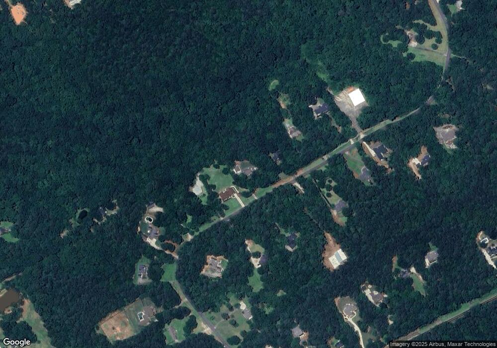
Map
Nearby Homes
- Edgefield Plan at Pinehurst Estates
- Roanoke Plan at Pinehurst Estates
- Charleston Plan at Pinehurst Estates
- Waverly Plan at Pinehurst Estates
- Colfax Plan at Pinehurst Estates
- McDowell Plan at Pinehurst Estates
- 1520 Rivermist Dr
- 2112 Meadowood Cove
- 83 Bella Dr
- 182 Bella Dr
- 182 Bella Dr
- 235 Bella Dr
- 3055 Kari Brook Ln
- 43 Belmont Ct
- 152 White Oak Way
- 306 Calumet Ln
- 590 Riverbend Rd
- 492 Nunnally Farm Rd
- Riley A.3 2 Side Entry Plan at Nunnally Farm Rd
- 299 Claiborne Way
- 1761 Rivermist Dr
- 1721 Rivermist Dr
- 1781 Rivermist Dr
- 1701 Rivermist Dr
- 1800 Rivermist Dr
- 1820 Rivermist Dr
- 1780 Rivermist Dr
- 1840 Rivermist Dr
- 1801 Rivermist Dr
- 1760 Rivermist Dr
- 1740 Rivermist Dr
- 1681 Rivermist Dr
- 1860 Rivermist Dr
- 1860 Rivermist Dr
- 1821 Rivermist Dr
- 1720 Rivermist Dr
- 1700 Rivermist Dr
- 1795 Ammons Bridge Rd
- 1841 Rivermist Dr
- 1861 Rivermist Dr
Your Personal Tour Guide
Ask me questions while you tour the home.