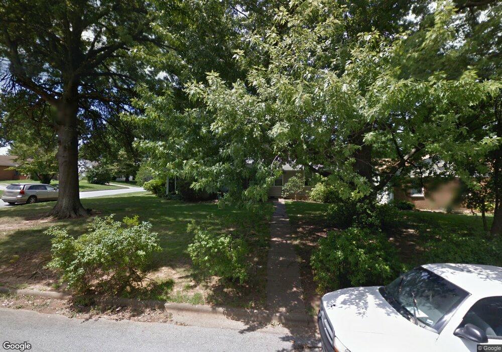
1741 S Sagamont Ave Springfield, MO 65807
Fassnight NeighborhoodEstimated Value: $199,000 - $231,000
3
Beds
2
Baths
1,686
Sq Ft
$128/Sq Ft
Est. Value
About This Home
This home is located at 1741 S Sagamont Ave, Springfield, MO 65807 and is currently estimated at $216,076, approximately $128 per square foot. 1741 S Sagamont Ave is a home located in Greene County with nearby schools including Sunshine Elementary School, Jarrett Middle, and Parkview High School.
Ownership History
Date
Name
Owned For
Owner Type
Purchase Details
Closed on
Jun 13, 2024
Sold by
Jester Mark Allen and Jester Susan Denise
Bought by
Jester Susan Denise
Current Estimated Value
Home Financials for this Owner
Home Financials are based on the most recent Mortgage that was taken out on this home.
Original Mortgage
$50,000
Outstanding Balance
$49,370
Interest Rate
7.09%
Mortgage Type
Credit Line Revolving
Estimated Equity
$166,706
Create a Home Valuation Report for This Property
The Home Valuation Report is an in-depth analysis detailing your home's value as well as a comparison with similar homes in the area
Home Values in the Area
Average Home Value in this Area
Purchase History
| Date | Buyer | Sale Price | Title Company |
|---|---|---|---|
| Jester Susan Denise | -- | None Listed On Document |
Source: Public Records
Mortgage History
| Date | Status | Borrower | Loan Amount |
|---|---|---|---|
| Open | Jester Susan Denise | $50,000 |
Source: Public Records
Tax History Compared to Growth
Tax History
| Year | Tax Paid | Tax Assessment Tax Assessment Total Assessment is a certain percentage of the fair market value that is determined by local assessors to be the total taxable value of land and additions on the property. | Land | Improvement |
|---|---|---|---|---|
| 2025 | $1,090 | $24,570 | $5,950 | $18,620 |
| 2024 | $1,090 | $20,310 | $2,850 | $17,460 |
| 2023 | $1,083 | $20,310 | $2,850 | $17,460 |
| 2022 | $1,103 | $20,200 | $2,850 | $17,350 |
| 2021 | $1,103 | $20,200 | $2,850 | $17,350 |
| 2020 | $1,097 | $19,210 | $2,850 | $16,360 |
| 2019 | $1,066 | $19,210 | $2,850 | $16,360 |
| 2018 | $886 | $15,980 | $2,280 | $13,700 |
| 2017 | $877 | $16,110 | $2,280 | $13,830 |
| 2016 | $883 | $16,110 | $2,280 | $13,830 |
| 2015 | $875 | $16,110 | $2,280 | $13,830 |
| 2014 | $850 | $15,540 | $2,280 | $13,260 |
Source: Public Records
Map
Nearby Homes
- 526 W Portland St
- 626 W Minota St
- 901 W Portland St
- 810 W Minota St
- 1644 S Broadway Ave
- 227 W Portland St
- 1844 S Broadway Ave
- 945 W Linwood St
- 1913 S Broadway Ave
- 1858 S Franklin Ave
- 1010 W Cherokee St
- 301 W McGee St
- 1523 S Roanoke Ave
- 1650 S Roanoke Ave
- 1955 S Fort Ave
- 426 W Catalpa St
- 308 E Lindberg St
- 219 W Seminole St
- 1846 S Nettleton Ave
- 620 E Sunshine St
- 1729 S Sagamont Ave
- 645 W University St
- 632 W University St
- 638 W University St
- 1732 S Grant Ave
- 628 W University St
- 644 W University St
- 1738 S Sagamont Ave
- 1724 S Grant Ave
- 1732 S Sagamont Ave
- 1717 S Sagamont Ave
- 624 W University St
- 652 W University St
- 1724 S Sagamont Ave
- 1718 S Grant Ave
- 614 W University St
- 1716 S Sagamont Ave
- 1711 S Sagamont Ave
- 1710 S Grant Ave
- 1774 S Grant Ave Unit Efg