1741 Taylor Mtn Rd Larkspur, CO 80118
Estimated Value: $346,000
4
Beds
6
Baths
6,355
Sq Ft
$54/Sq Ft
Est. Value
About This Home
This home is located at 1741 Taylor Mtn Rd, Larkspur, CO 80118 and is currently estimated at $346,000, approximately $54 per square foot. 1741 Taylor Mtn Rd is a home located in Douglas County with nearby schools including Larkspur Elementary School, Castle Rock Middle School, and Castle View High School.
Ownership History
Date
Name
Owned For
Owner Type
Purchase Details
Closed on
Jun 5, 2006
Sold by
Lee Teresa A
Bought by
Seglem Christopher K and Seglem Wendy C
Current Estimated Value
Home Financials for this Owner
Home Financials are based on the most recent Mortgage that was taken out on this home.
Original Mortgage
$371,977
Interest Rate
6.5%
Mortgage Type
Unknown
Purchase Details
Closed on
Apr 19, 2005
Sold by
Taylor Land Co Lllp
Bought by
Lee Teresa A
Create a Home Valuation Report for This Property
The Home Valuation Report is an in-depth analysis detailing your home's value as well as a comparison with similar homes in the area
Home Values in the Area
Average Home Value in this Area
Purchase History
| Date | Buyer | Sale Price | Title Company |
|---|---|---|---|
| Seglem Christopher K | -- | None Available | |
| Seglem Christopher K | $490,000 | Land Title Guarantee Company | |
| Lee Teresa A | -- | -- |
Source: Public Records
Mortgage History
| Date | Status | Borrower | Loan Amount |
|---|---|---|---|
| Closed | Seglem Christopher K | $371,977 |
Source: Public Records
Tax History Compared to Growth
Tax History
| Year | Tax Paid | Tax Assessment Tax Assessment Total Assessment is a certain percentage of the fair market value that is determined by local assessors to be the total taxable value of land and additions on the property. | Land | Improvement |
|---|---|---|---|---|
| 2024 | $19,739 | $225,280 | $34,080 | $191,200 |
| 2023 | $19,948 | $225,280 | $34,080 | $191,200 |
| 2022 | $12,116 | $142,910 | $26,350 | $116,560 |
| 2021 | $13,188 | $142,910 | $26,350 | $116,560 |
| 2020 | $11,410 | $126,150 | $29,220 | $96,930 |
| 2019 | $11,450 | $126,150 | $29,220 | $96,930 |
| 2018 | $10,520 | $113,740 | $24,110 | $89,630 |
| 2017 | $9,849 | $113,740 | $24,110 | $89,630 |
| 2016 | $10,879 | $123,430 | $24,880 | $98,550 |
| 2015 | $10,623 | $123,430 | $24,880 | $98,550 |
| 2014 | $11,628 | $126,180 | $22,390 | $103,790 |
Source: Public Records
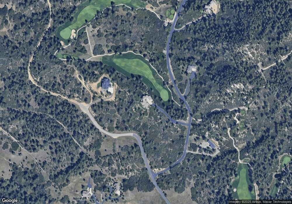
Map
Nearby Homes
- 7013 Cinque Tail Dr Unit 31
- 1805 Senecio Dr
- 2207 etal Senecio Dr
- 7169 Independence Ct
- 1892 Lake Dr
- 1653 Gore Dr
- 7069 Pasque Ct
- 0 Pasque Ct Unit 1466022
- 1275 Fremont Dr
- 1210 Kenosha Dr
- 1151 Kenosha Dr
- 1935 Poncha Ct
- 7317 Fremont Place
- 1 S Perry Park Rd Unit 1
- 2 S Perry Park Rd
- 2801 Verbena Dr
- 3 S Perry Park Rd
- 1600 Independence Dr Unit 50
- 1065 Independence Dr
- 7076 Boreas Rd
- 6832 Balsamroot Rd
- 6929 Balsamroot Rd
- 1696 Taylor Mtn Rd
- 1935 Spring Beauty Ln
- 1935 Spring Valley Rd
- 1989 Spring Beauty Ln
- 1999 Spring Valley Rd
- 1930 Spring Valley Rd
- 6830 Balsamroot Rd
- 1750 Taylor Mtn Rd
- 1950 Spring Valley Rd
- 7021 Wood Sorrel Rd
- 1962 Spring Valley Rd
- 2016 Spring Beauty Ln
- 1953 Senecio Dr
- 1996 Spring Valley Rd
- 2016 Spring Valley Rd
- 2055 Spring Beauty Ln
- N/A N A
- 1959 Senecio Dr