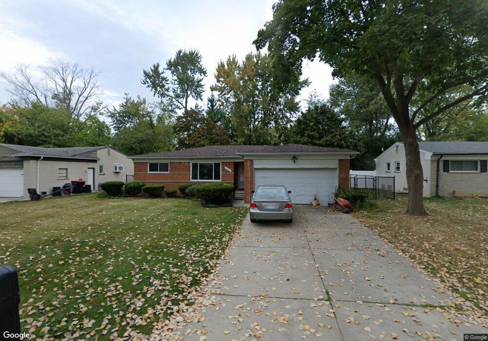
17410 Stratford Dr Southfield, MI 48075
Estimated Value: $233,240 - $260,000
3
Beds
2
Baths
1,364
Sq Ft
$182/Sq Ft
Est. Value
About This Home
This home is located at 17410 Stratford Dr, Southfield, MI 48075 and is currently estimated at $248,310, approximately $182 per square foot. 17410 Stratford Dr is a home located in Oakland County with nearby schools including Thompson K-8 International Baccalaureate Academy, Dr. Joseph F. Pollack Academic Center Of Excellence, and Children's Technological Academy.
Ownership History
Date
Name
Owned For
Owner Type
Purchase Details
Closed on
Feb 9, 2011
Sold by
Secretary Of Housing & Urban Development
Bought by
Mitchell Sharon
Current Estimated Value
Purchase Details
Closed on
Mar 30, 2010
Sold by
Bank Of America Na
Bought by
The Secretary Of Housing & Urban Develop
Purchase Details
Closed on
Sep 29, 2009
Sold by
Edwards Adam and Edwards Janine
Bought by
Bank Of America Na
Purchase Details
Closed on
Jan 6, 2000
Sold by
Staten Reginald
Bought by
Edwards Adam
Create a Home Valuation Report for This Property
The Home Valuation Report is an in-depth analysis detailing your home's value as well as a comparison with similar homes in the area
Home Values in the Area
Average Home Value in this Area
Purchase History
| Date | Buyer | Sale Price | Title Company |
|---|---|---|---|
| Mitchell Sharon | $37,300 | None Available | |
| The Secretary Of Housing & Urban Develop | -- | None Available | |
| Bank Of America Na | $152,320 | None Available | |
| Edwards Adam | $155,000 | -- |
Source: Public Records
Mortgage History
| Date | Status | Borrower | Loan Amount |
|---|---|---|---|
| Closed | Edwards Adam | -- |
Source: Public Records
Tax History Compared to Growth
Tax History
| Year | Tax Paid | Tax Assessment Tax Assessment Total Assessment is a certain percentage of the fair market value that is determined by local assessors to be the total taxable value of land and additions on the property. | Land | Improvement |
|---|---|---|---|---|
| 2022 | $2,942 | $82,270 | $13,370 | $68,900 |
| 2021 | $3,012 | $80,070 | $13,370 | $66,700 |
| 2020 | $3,119 | $62,470 | $11,260 | $51,210 |
| 2018 | $3,106 | $54,510 | $11,260 | $43,250 |
| 2015 | -- | $51,060 | $0 | $0 |
| 2014 | -- | $45,940 | $0 | $0 |
| 2011 | -- | $46,160 | $0 | $0 |
Source: Public Records
Map
Nearby Homes
- 17251 Lee St
- 17245 Lee St
- 17400 George Washington Dr
- 17725 George Washington Dr
- 24053 Lathrup Blvd
- 17316 Mount Vernon St
- 17573 Mount Vernon St
- 25070 Sherwood Cir
- 18444 Addison Dr
- 16218 Addison St
- 25131 Prairie Dr
- 18216 Filmore St
- 16040 Mount Vernon St
- 17305 Gateway Cir Unit 6
- 15918 Mount Vernon St
- 15659 Addison St
- 15640 Arbor Place
- 25640 Grand Concourse St
- 17155 Lincoln Dr
- 18495 Adrian St
- 17380 Stratford Dr
- 17450 Stratford Dr
- 17350 Stratford Dr
- 17409 New Hampshire Dr
- 17439 New Hampshire Dr
- 17444 Silver Maple St
- 24534 Lathrup Blvd Unit Bldg-Unit
- 24534 Lathrup Blvd
- 17350 Silver Maple St Unit Bldg-Unit
- 17350 Silver Maple St
- 17280 Anna St
- 17475 New Hampshire Dr
- 17275 Anna St
- 17482 Silver Maple St
- 17255 Anna St
- 17285 Lee St
- 17275 Stratford Dr
- 17260 Anna St
- 17438 New Hampshire Dr
- 17414 New Hampshire Dr