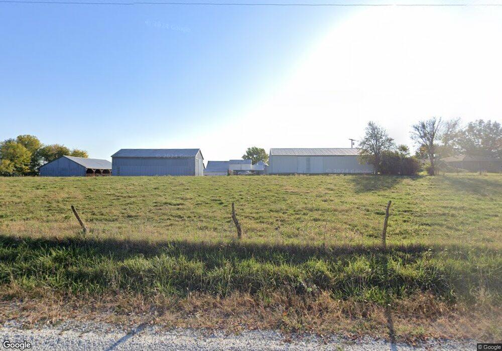
17415 S Seaton Rd Pleasant Hill, MO 64080
Estimated Value: $413,000 - $595,272
3
Beds
1
Bath
1,408
Sq Ft
$352/Sq Ft
Est. Value
About This Home
This home is located at 17415 S Seaton Rd, Pleasant Hill, MO 64080 and is currently estimated at $496,091, approximately $352 per square foot. 17415 S Seaton Rd is a home located in Cass County with nearby schools including Pleasant Hill Primary School, Pleasant Hill Elementary School, and Pleasant Hill Middle School.
Ownership History
Date
Name
Owned For
Owner Type
Purchase Details
Closed on
Feb 19, 2022
Sold by
Paul D Spoon And Nancy J Spoon Revocable
Bought by
Barker David G and Barker Donna L
Current Estimated Value
Home Financials for this Owner
Home Financials are based on the most recent Mortgage that was taken out on this home.
Original Mortgage
$0
Interest Rate
3.55%
Mortgage Type
New Conventional
Purchase Details
Closed on
Feb 18, 2022
Sold by
Ott Janet K and Ott William K
Bought by
Barker David G and Barker Donna L
Home Financials for this Owner
Home Financials are based on the most recent Mortgage that was taken out on this home.
Original Mortgage
$0
Interest Rate
3.55%
Mortgage Type
New Conventional
Create a Home Valuation Report for This Property
The Home Valuation Report is an in-depth analysis detailing your home's value as well as a comparison with similar homes in the area
Home Values in the Area
Average Home Value in this Area
Purchase History
| Date | Buyer | Sale Price | Title Company |
|---|---|---|---|
| Barker David G | -- | Land Title | |
| Barker David G | -- | Coffelt Land Title |
Source: Public Records
Mortgage History
| Date | Status | Borrower | Loan Amount |
|---|---|---|---|
| Closed | Barker David G | $0 | |
| Closed | Barker David G | $0 |
Source: Public Records
Tax History Compared to Growth
Tax History
| Year | Tax Paid | Tax Assessment Tax Assessment Total Assessment is a certain percentage of the fair market value that is determined by local assessors to be the total taxable value of land and additions on the property. | Land | Improvement |
|---|---|---|---|---|
| 2024 | $1,695 | $28,040 | $6,470 | $21,570 |
| 2023 | $1,689 | $28,040 | $6,470 | $21,570 |
| 2022 | $1,502 | $24,590 | $6,470 | $18,120 |
| 2021 | $1,453 | $24,590 | $6,470 | $18,120 |
| 2020 | $1,361 | $23,740 | $6,470 | $17,270 |
| 2019 | $1,339 | $23,740 | $6,470 | $17,270 |
| 2018 | $1,319 | $22,170 | $6,220 | $15,950 |
| 2017 | $1,268 | $22,170 | $6,220 | $15,950 |
| 2016 | $1,268 | $21,290 | $6,220 | $15,070 |
| 2015 | $1,288 | $21,290 | $6,220 | $15,070 |
| 2014 | $1,281 | $21,060 | $5,990 | $15,070 |
| 2013 | -- | $21,060 | $5,990 | $15,070 |
Source: Public Records
Map
Nearby Homes
- Lot 10 Snyder Rd
- Lot 9 Snyder Rd
- Lot 8 Snyder Rd
- Lot 7 Snyder Rd
- Lot 4 Snyder Rd
- Lot 6 Snyder Rd
- Lot 5 Snyder Rd
- 17806 Red Bud Cir
- 33701 E State Route 58
- 15800 S State Route 7
- 0 E County Line Rd
- 1200 Buckeye Ln
- 902 Buckeye Ln
- 32204 E County Line Rd
- 1809 Alpine Dr
- 312 N East Hwy
- 36404 E County Line Rd
- 1604 Fairway Ct
- 1507 Trail Ridge Dr
- 1504 Hawthorne Cir
- 17505 S Seaton Rd
- 17504 S Seaton Rd
- 17202 S Seaton Rd
- 34500 E 176th Terrace
- 17800 S Seaton Rd
- 34600 E 176th Terrace
- 17016 S Seaton Rd
- 17006 S Seaton Rd
- 33508 E 179th St
- 34800 E 179th St
- 16922 S Seaton Rd
- 33708 E 179th St
- 16906 S Seaton Rd
- 34401 E 179th St
- 33611 E 179th St
- 34107 E 179th St
- 16820 S Seaton Rd
- 32805 E 175th St
- 33200 E 179th St
- 33200 E 175th St