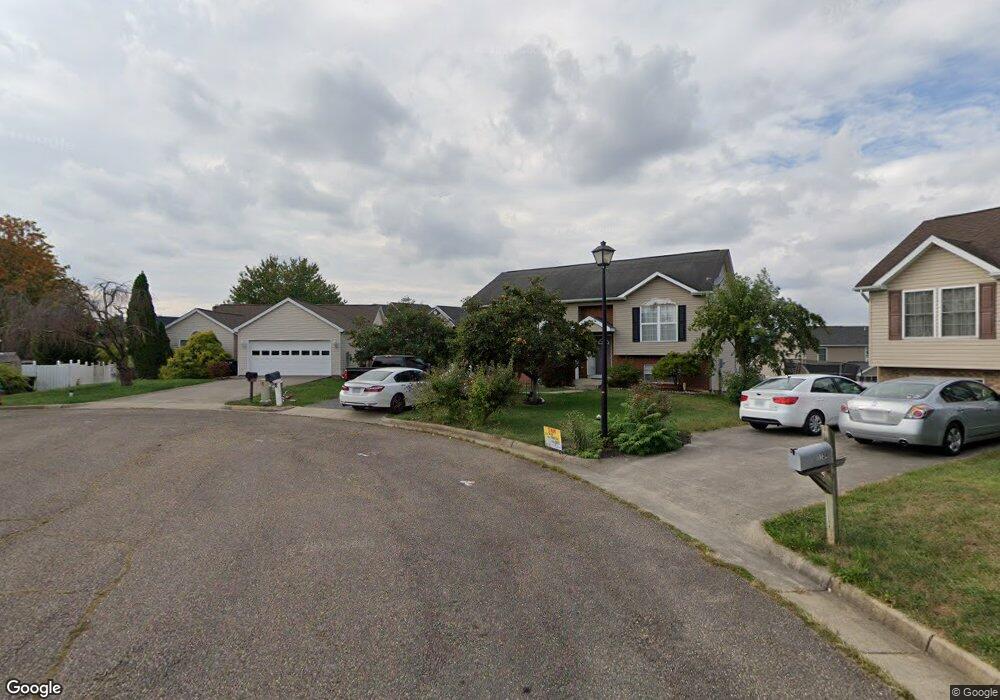
1742 Amherst Ct Harrisonburg, VA 22801
Pleasant Acres NeighborhoodEstimated Value: $292,000 - $351,000
3
Beds
2
Baths
1,240
Sq Ft
$255/Sq Ft
Est. Value
About This Home
This home is located at 1742 Amherst Ct, Harrisonburg, VA 22801 and is currently estimated at $316,135, approximately $254 per square foot. 1742 Amherst Ct is a home located in Harrisonburg City with nearby schools including Keister Elementary School, Thomas Harrison Middle School, and Harrisonburg High School.
Ownership History
Date
Name
Owned For
Owner Type
Purchase Details
Closed on
May 16, 2018
Sold by
Smith Betty Mae and Diane Smith P
Bought by
Hessler Karl F
Current Estimated Value
Purchase Details
Closed on
Oct 22, 2012
Sold by
Rohrbaugh Mary Ellen
Bought by
Smith Betty Mae
Purchase Details
Closed on
Feb 22, 2012
Sold by
Rohrbaugh Mary Ellen
Bought by
Rohrbaugh Mary Ellen
Create a Home Valuation Report for This Property
The Home Valuation Report is an in-depth analysis detailing your home's value as well as a comparison with similar homes in the area
Home Values in the Area
Average Home Value in this Area
Purchase History
| Date | Buyer | Sale Price | Title Company |
|---|---|---|---|
| Hessler Karl F | $220,000 | None Available | |
| Smith Betty Mae | $173,000 | Valley Southern Title | |
| Rohrbaugh Mary Ellen | -- | None Available |
Source: Public Records
Tax History Compared to Growth
Tax History
| Year | Tax Paid | Tax Assessment Tax Assessment Total Assessment is a certain percentage of the fair market value that is determined by local assessors to be the total taxable value of land and additions on the property. | Land | Improvement |
|---|---|---|---|---|
| 2025 | $2,739 | $275,000 | $69,500 | $205,500 |
| 2024 | $2,739 | $271,200 | $69,300 | $201,900 |
| 2023 | $2,509 | $261,400 | $69,300 | $192,100 |
| 2022 | $2,145 | $230,600 | $63,000 | $167,600 |
| 2021 | $1,949 | $216,600 | $63,000 | $153,600 |
| 2020 | $1,825 | $208,700 | $63,000 | $145,700 |
| 2019 | $1,769 | $202,200 | $63,000 | $139,200 |
| 2018 | $1,399 | $199,500 | $63,000 | $136,500 |
| 2017 | $1,399 | $194,300 | $63,000 | $131,300 |
| 2016 | $1,399 | $194,300 | $63,000 | $131,300 |
| 2015 | $1,399 | $194,300 | $63,000 | $131,300 |
| 2014 | -- | $194,300 | $63,000 | $131,300 |
Source: Public Records
Map
Nearby Homes
- 1739 Kingston Ct
- 2132 Willow Hill Dr
- 2122 Willow Hill Dr
- 2112 Willow Hill Dr
- 2102 Willow Hill Dr
- 2105 Willow Hill Dr
- 2020 Shoeshine Ave
- 52 South Ave Unit G
- 210 W Mosby Rd
- 44 South Ave Unit G
- 550 Grommet Dr
- 2414 Millwood Loop Unit 15
- 745 Wingtip Way
- 1435 Bluestone St
- 1450 Bluestone St
- 100 Monument Ave
- 21 Port Republic Rd
- 33 Port Republic Rd
- 146 Maryland Ave
- 340 New York Ave
- 1738 Amherst Ct
- 1739 Amherst Ct
- 1725 Pear St
- 1727 Pear St
- 1734 Amherst Ct
- 1731 Pear St
- 1735 Amherst Ct
- 1733 Pear St
- 1730 Amherst Ct
- 145 Sharon St
- 1737 Pear St
- 129 Sharon St
- 1739 Pear St
- 125 Sharon St
- 149 Sharon St
- 161 Howard Ln
- 161 Howard Ln Unit 301
- 161 Howard Ln Unit 302
- 161 Howard Ln Unit 203
- 151 Howard Ln