1742 Branch Rd Perkasie, PA 18944
East Rockhill NeighborhoodEstimated Value: $614,000 - $661,000
3
Beds
2
Baths
1,996
Sq Ft
$321/Sq Ft
Est. Value
About This Home
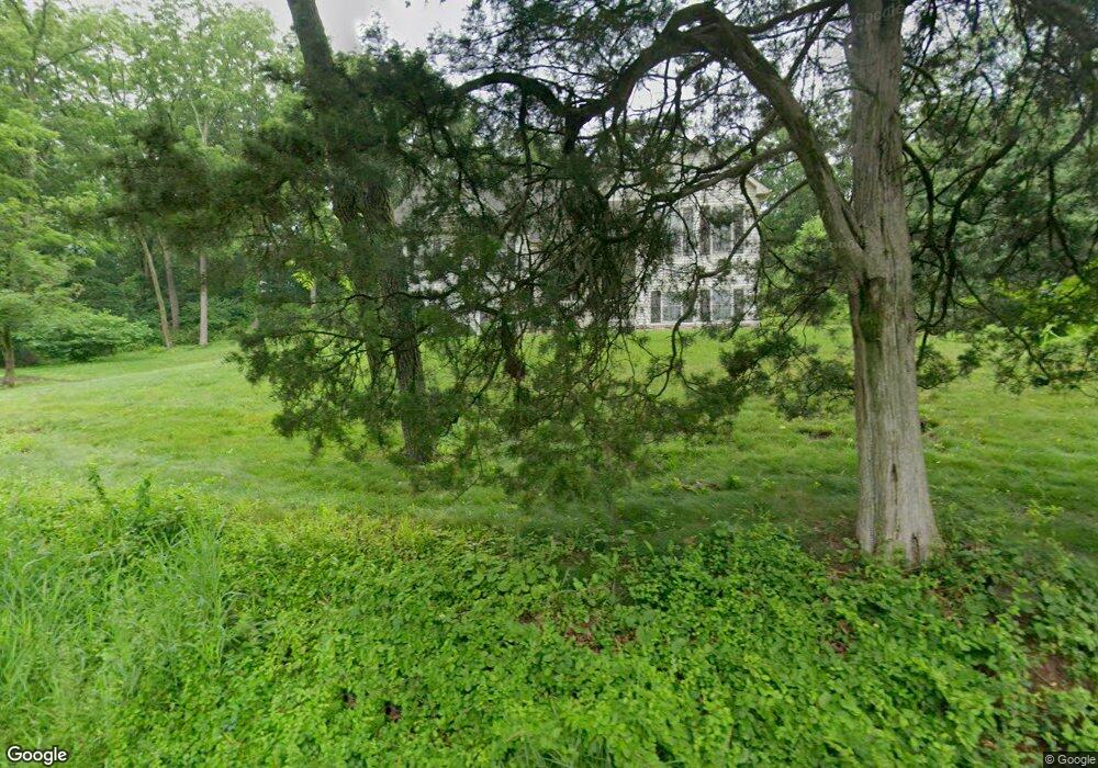
This home is located at 1742 Branch Rd, Perkasie, PA 18944 and is currently estimated at $640,035, approximately $320 per square foot. 1742 Branch Rd is a home located in Bucks County with nearby schools including Pennridge High School, Upper Bucks Christian School, and Community Service Foundation.
Ownership History
Date
Name
Owned For
Owner Type
Purchase Details
Closed on
Jan 13, 2021
Sold by
Cotton Michael J
Bought by
Cotton Michael J and Cotton Dorothy M
Current Estimated Value
Home Financials for this Owner
Home Financials are based on the most recent Mortgage that was taken out on this home.
Original Mortgage
$305,000
Outstanding Balance
$247,833
Interest Rate
2.71%
Mortgage Type
New Conventional
Estimated Equity
$392,202
Purchase Details
Closed on
Nov 19, 2009
Sold by
Flemington Construction Llc
Bought by
Cotton Michael J and Cotton Amy M
Home Financials for this Owner
Home Financials are based on the most recent Mortgage that was taken out on this home.
Original Mortgage
$356,000
Interest Rate
5.01%
Mortgage Type
New Conventional
Purchase Details
Closed on
Apr 30, 2001
Sold by
Mclaughlin James J and Mclaughlin Sophie E
Bought by
Browne Christian K
Create a Home Valuation Report for This Property
The Home Valuation Report is an in-depth analysis detailing your home's value as well as a comparison with similar homes in the area
Home Values in the Area
Average Home Value in this Area
Purchase History
| Date | Buyer | Sale Price | Title Company |
|---|---|---|---|
| Cotton Michael J | -- | Avenue 365 Lender Svcs Llc | |
| Cotto Michael J | -- | Avenue 365 Lender Svcs Llc | |
| Cotton Michael J | $445,000 | None Available | |
| Browne Christian K | $29,500 | -- |
Source: Public Records
Mortgage History
| Date | Status | Borrower | Loan Amount |
|---|---|---|---|
| Open | Cotton Michael J | $305,000 | |
| Previous Owner | Cotton Michael J | $356,000 |
Source: Public Records
Tax History Compared to Growth
Tax History
| Year | Tax Paid | Tax Assessment Tax Assessment Total Assessment is a certain percentage of the fair market value that is determined by local assessors to be the total taxable value of land and additions on the property. | Land | Improvement |
|---|---|---|---|---|
| 2025 | $7,367 | $42,110 | $6,310 | $35,800 |
| 2024 | $7,367 | $42,110 | $6,310 | $35,800 |
| 2023 | $7,283 | $42,110 | $6,310 | $35,800 |
| 2022 | $7,283 | $42,110 | $6,310 | $35,800 |
| 2021 | $7,283 | $42,110 | $6,310 | $35,800 |
| 2020 | $7,283 | $42,110 | $6,310 | $35,800 |
| 2019 | $7,240 | $42,110 | $6,310 | $35,800 |
| 2018 | $7,156 | $42,110 | $6,310 | $35,800 |
| 2017 | $7,104 | $42,110 | $6,310 | $35,800 |
| 2016 | $7,104 | $42,110 | $6,310 | $35,800 |
| 2015 | -- | $42,110 | $6,310 | $35,800 |
| 2014 | -- | $42,110 | $6,310 | $35,800 |
Source: Public Records
Map
Nearby Homes
- 2004 Evergreen Dr
- 584 Campus Dr
- 28 Bryant Dr
- 137 Sunnyside Ln
- 512 Campus Dr
- 44 Deer Run Rd
- 1118 N 5th St
- 1229 N Ridge Rd
- 1032 N 7th St
- 3267 Bushwood Dr
- 1720 Route 313
- 1412 Route 113
- Woodford Plan at Everleigh Woods
- Manchester Plan at Everleigh Woods
- Arcadia Plan at Everleigh Woods
- Parker Plan at Everleigh Woods
- Sebastian Plan at Everleigh Woods
- Hawthorne Plan at Everleigh Woods
- Kipling Plan at Everleigh Woods
- Magnolia Plan at Everleigh Woods
- 217E W Schwenkmill Rd
- 217C W Schwenkmill Rd
- 217B W Schwenkmill Rd
- 217 W Schwenkmill Rd
- 1730 Branch Rd
- 217A W Schwenkmill Rd
- 217A W Schwenkmill Rd Unit A
- 227 W Schwenkmill Rd
- 1701 Branch Rd
- 225 W Schwenkmill Rd
- 1630 Branch Rd
- 210 W Schwenkmill Rd
- 214 W Schwenkmill Rd
- 218 W Schwenkmill Rd
- 222 W Schwenkmill Rd
- 226 W Schwenkmill Rd
- 1801 N 5th St
- 228 W Schwenkmill Rd
- 1618 Branch Rd
- 236 W Schwenkmill Rd