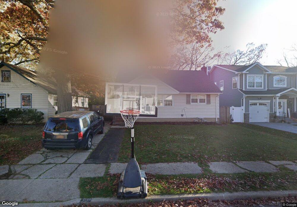
1742 Carroll Ave Merrick, NY 11566
Estimated Value: $671,350 - $681,000
Studio
1
Bath
1,184
Sq Ft
$571/Sq Ft
Est. Value
About This Home
This home is located at 1742 Carroll Ave, Merrick, NY 11566 and is currently estimated at $676,175, approximately $571 per square foot. 1742 Carroll Ave is a home located in Nassau County with nearby schools including Merrick Avenue Middle School, Sanford H Calhoun High School, and Grace Christian Academy.
Ownership History
Date
Name
Owned For
Owner Type
Purchase Details
Closed on
Jul 27, 2009
Sold by
Giancontieri Maureen and Whitehead David P
Bought by
Connolly Christopher and Fitzpartick Kimberly
Current Estimated Value
Home Financials for this Owner
Home Financials are based on the most recent Mortgage that was taken out on this home.
Original Mortgage
$267,100
Interest Rate
4.93%
Mortgage Type
Purchase Money Mortgage
Purchase Details
Closed on
Jun 21, 2007
Sold by
Whitehead David P
Purchase Details
Closed on
May 31, 2001
Sold by
Watterson Myrtle
Bought by
Whitehead Frances
Create a Home Valuation Report for This Property
The Home Valuation Report is an in-depth analysis detailing your home's value as well as a comparison with similar homes in the area
Home Values in the Area
Average Home Value in this Area
Purchase History
| Date | Buyer | Sale Price | Title Company |
|---|---|---|---|
| Connolly Christopher | $333,900 | -- | |
| -- | -- | -- | |
| Whitehead Frances | -- | Ira S Schneider |
Source: Public Records
Mortgage History
| Date | Status | Borrower | Loan Amount |
|---|---|---|---|
| Previous Owner | Connolly Christopher | $267,100 |
Source: Public Records
Tax History
| Year | Tax Paid | Tax Assessment Tax Assessment Total Assessment is a certain percentage of the fair market value that is determined by local assessors to be the total taxable value of land and additions on the property. | Land | Improvement |
|---|---|---|---|---|
| 2025 | $12,075 | $451 | $191 | $260 |
| 2024 | $3,485 | $451 | $191 | $260 |
Source: Public Records
Map
Nearby Homes
- 1729 Gormley Ave
- 236 Thelma Ave
- 221 Thelma Ave
- 1741 Bushwick Ave
- 1911 Carroll Ave
- 1772 Rose St
- 132 Webster St
- 1931 Miller Place
- 29 Babylon Turnpike
- 1826 Camp Ave
- 160 Bedford Ave
- 1811 Bedford Ave
- 78 Jesse St
- 1715 Remson Ave
- 2203 Washington St
- 49 Elizabeth St
- TBD Camp Ave
- 2 Garfield St
- 19 Margaret Blvd
- 16 Margaret Blvd
- 1748 Carroll Ave
- 9 Carroll Ave
- 1747 Gormley Ave
- 1735 Gormley Ave
- 8 State St
- 1737 Carroll Ave
- 1928 State St
- 7 Carroll Ave
- 1735 Carroll Ave
- 25 Gormley Ave
- 1720 Carroll Ave
- 1723 Gormley Ave
- 1762 Carroll Ave
- 1929 State St
- 1733 Carroll Ave
- 1742 Frederick Ave
- 1719 Gormley Ave
- 1761 Carroll Ave
- 1717 Carroll Ave Unit 17
- 1744 Gormley Ave
Your Personal Tour Guide
Ask me questions while you tour the home.