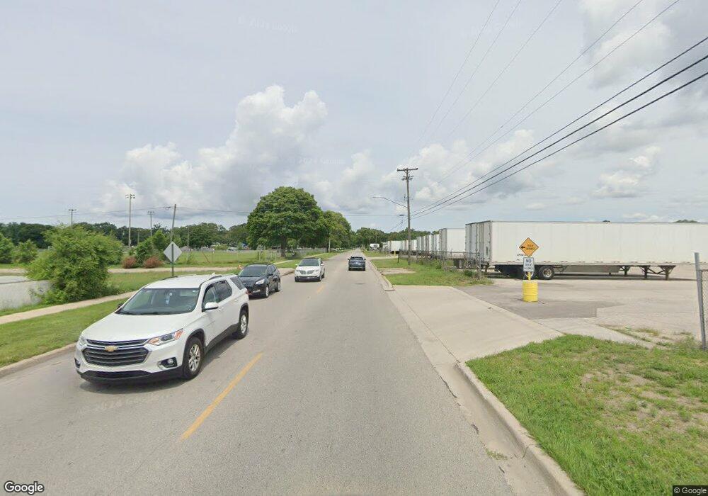
1742 Creston St Muskegon, MI 49445
Estimated Value: $317,775 - $346,000
3
Beds
2
Baths
1,352
Sq Ft
$242/Sq Ft
Est. Value
About This Home
This home is located at 1742 Creston St, Muskegon, MI 49445 and is currently estimated at $326,944, approximately $241 per square foot. 1742 Creston St is a home located in Muskegon County with nearby schools including Reeths-Puffer High School.
Ownership History
Date
Name
Owned For
Owner Type
Purchase Details
Closed on
Sep 30, 2014
Sold by
Lubbers Charlotte L
Bought by
Cosier Nathan
Current Estimated Value
Home Financials for this Owner
Home Financials are based on the most recent Mortgage that was taken out on this home.
Original Mortgage
$118,750
Outstanding Balance
$91,006
Interest Rate
4.09%
Mortgage Type
New Conventional
Estimated Equity
$235,938
Purchase Details
Closed on
Mar 4, 2003
Sold by
Quillin Gregory M
Bought by
Lubbers Charlotte L
Create a Home Valuation Report for This Property
The Home Valuation Report is an in-depth analysis detailing your home's value as well as a comparison with similar homes in the area
Home Values in the Area
Average Home Value in this Area
Purchase History
| Date | Buyer | Sale Price | Title Company |
|---|---|---|---|
| Cosier Nathan | $125,000 | None Available | |
| Lubbers Charlotte L | -- | Harbor Title |
Source: Public Records
Mortgage History
| Date | Status | Borrower | Loan Amount |
|---|---|---|---|
| Open | Cosier Nathan | $118,750 |
Source: Public Records
Tax History Compared to Growth
Tax History
| Year | Tax Paid | Tax Assessment Tax Assessment Total Assessment is a certain percentage of the fair market value that is determined by local assessors to be the total taxable value of land and additions on the property. | Land | Improvement |
|---|---|---|---|---|
| 2025 | $3,602 | $150,300 | $0 | $0 |
| 2024 | $1,064 | $138,500 | $0 | $0 |
| 2023 | $1,017 | $126,000 | $0 | $0 |
| 2022 | $3,247 | $112,400 | $0 | $0 |
| 2021 | $3,161 | $100,600 | $0 | $0 |
| 2020 | $3,131 | $96,700 | $0 | $0 |
| 2019 | $3,085 | $91,500 | $0 | $0 |
| 2018 | $2,653 | $77,600 | $0 | $0 |
| 2017 | $2,641 | $72,000 | $0 | $0 |
| 2016 | $760 | $65,800 | $0 | $0 |
| 2015 | -- | $63,400 | $0 | $0 |
| 2014 | -- | $63,100 | $0 | $0 |
| 2013 | -- | $59,800 | $0 | $0 |
Source: Public Records
Map
Nearby Homes
- 2060 N Roberts Rd
- 2021 Queens Ct
- 1925 Shady Oak Dr
- 0 N Getty St
- 787 E Giles Rd
- 764 E Giles Rd
- 2026 N Port Blvd
- 0 Holton Vl Rd Unit 20027438
- 1960 Nielwood Dr
- V/L Holton Rd
- 2551 Hiawatha Trail
- 1353 Holton Rd
- 2624 Holton Rd
- 129 Maple Ct
- V/L Reed Ave
- 1850 Mildred St
- 2635 E River Rd
- 1699 Sycamore Dr
- 2337 Northwind Dr
- 0 E Mcmillan Rd
- 1742 N Creston Rd
- 1720 Creston St
- 1380 Anna Rd
- 1756 Creston St
- 1745 Creston St
- 1381 Anna Rd
- 1360 Anna Rd
- 1765 Creston St
- 1460 Destiny Dr
- 1760 Creston St
- 1425 Destiny Dr
- 1443 Destiny Dr
- 1361 Anna Rd
- 1667 Creston St
- 1443 Becker Rd
- 1535 Destiny Dr
- 1539 Destiny Dr
- 1425 Becker Rd
- 1461 Destiny Dr
- 1476 Destiny Dr
