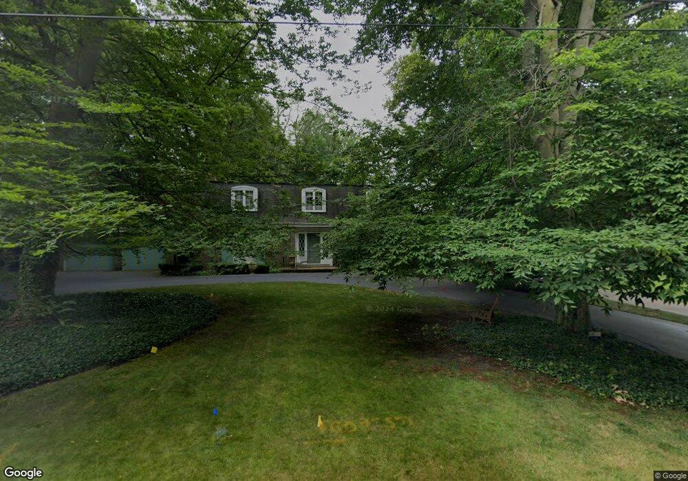
1742 E Broad St Louisville, OH 44641
Estimated Value: $292,000 - $351,000
3
Beds
3
Baths
2,808
Sq Ft
$114/Sq Ft
Est. Value
About This Home
This home is located at 1742 E Broad St, Louisville, OH 44641 and is currently estimated at $320,766, approximately $114 per square foot. 1742 E Broad St is a home located in Stark County with nearby schools including Louisville High School and St. Thomas Aquinas High School & Middle School.
Ownership History
Date
Name
Owned For
Owner Type
Purchase Details
Closed on
Jun 21, 2023
Sold by
Thomas Michael
Bought by
Thomas Phillip C
Current Estimated Value
Purchase Details
Closed on
Aug 9, 2011
Sold by
Estate Of Janet L Thomas
Bought by
Thomas Elden
Create a Home Valuation Report for This Property
The Home Valuation Report is an in-depth analysis detailing your home's value as well as a comparison with similar homes in the area
Home Values in the Area
Average Home Value in this Area
Purchase History
| Date | Buyer | Sale Price | Title Company |
|---|---|---|---|
| Thomas Phillip C | $1,500 | None Listed On Document | |
| Thomas Elden | -- | None Available |
Source: Public Records
Tax History Compared to Growth
Tax History
| Year | Tax Paid | Tax Assessment Tax Assessment Total Assessment is a certain percentage of the fair market value that is determined by local assessors to be the total taxable value of land and additions on the property. | Land | Improvement |
|---|---|---|---|---|
| 2025 | -- | $100,350 | $16,700 | $83,650 |
| 2024 | -- | $100,350 | $16,700 | $83,650 |
| 2023 | $3,228 | $73,360 | $15,750 | $57,610 |
| 2022 | $1,391 | $73,360 | $15,750 | $57,610 |
| 2021 | $2,790 | $73,360 | $15,750 | $57,610 |
| 2020 | $2,215 | $64,440 | $14,210 | $50,230 |
| 2019 | $2,218 | $64,440 | $14,210 | $50,230 |
| 2018 | $2,215 | $64,440 | $14,210 | $50,230 |
| 2017 | $2,021 | $57,760 | $12,500 | $45,260 |
| 2016 | $2,062 | $57,760 | $12,500 | $45,260 |
| 2015 | $2,068 | $57,760 | $12,500 | $45,260 |
| 2014 | $1,973 | $52,220 | $10,780 | $41,440 |
| 2013 | $990 | $52,220 | $10,780 | $41,440 |
Source: Public Records
Map
Nearby Homes
- 1715 High St
- 1812 E Broad St
- 641 S Nickelplate St
- 308 Superior St
- 2110 Edmar St
- 2015 E Main St
- 0 Michigan Blvd
- 520 S Silver St
- 728 E Broad St
- 204 E Broad St
- 510 S Bauman Ct
- 325 Lincoln Ave
- 908 Sand Lot Cir
- 107 E Broad St
- 1170 Winding Ridge Ave
- 3390 Meese Rd NE
- 910 Crosswyck Cir
- 1702 View Pointe Ave
- 428 Honeycrisp Dr NE
- 3047 Mcintosh Dr NE