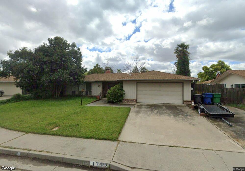
1742 Rascal Ct Merced, CA 95340
North Merced NeighborhoodEstimated Value: $406,000 - $425,230
3
Beds
2
Baths
1,677
Sq Ft
$250/Sq Ft
Est. Value
About This Home
This home is located at 1742 Rascal Ct, Merced, CA 95340 and is currently estimated at $420,058, approximately $250 per square foot. 1742 Rascal Ct is a home located in Merced County with nearby schools including Donn B. Chenoweth Elementary School, Herbert H. Cruickshank Middle School, and Golden Valley High School.
Ownership History
Date
Name
Owned For
Owner Type
Purchase Details
Closed on
Dec 4, 2000
Sold by
Mcfarland Larry J and Mcfarland Marian E
Bought by
Richards Judith G
Current Estimated Value
Home Financials for this Owner
Home Financials are based on the most recent Mortgage that was taken out on this home.
Original Mortgage
$112,000
Outstanding Balance
$41,303
Interest Rate
7.71%
Estimated Equity
$378,755
Create a Home Valuation Report for This Property
The Home Valuation Report is an in-depth analysis detailing your home's value as well as a comparison with similar homes in the area
Home Values in the Area
Average Home Value in this Area
Purchase History
| Date | Buyer | Sale Price | Title Company |
|---|---|---|---|
| Richards Judith G | $140,000 | -- |
Source: Public Records
Mortgage History
| Date | Status | Borrower | Loan Amount |
|---|---|---|---|
| Open | Richards Judith G | $112,000 |
Source: Public Records
Tax History
| Year | Tax Paid | Tax Assessment Tax Assessment Total Assessment is a certain percentage of the fair market value that is determined by local assessors to be the total taxable value of land and additions on the property. | Land | Improvement |
|---|---|---|---|---|
| 2025 | $2,149 | $210,935 | $67,797 | $143,138 |
| 2024 | $2,149 | $206,800 | $66,468 | $140,332 |
| 2023 | $2,118 | $202,746 | $65,165 | $137,581 |
| 2022 | $2,087 | $198,772 | $63,888 | $134,884 |
| 2021 | $2,082 | $194,876 | $62,636 | $132,240 |
| 2020 | $2,096 | $192,879 | $61,994 | $130,885 |
| 2019 | $2,063 | $189,098 | $60,779 | $128,319 |
| 2018 | $1,880 | $185,391 | $59,588 | $125,803 |
| 2017 | $1,950 | $181,757 | $58,420 | $123,337 |
| 2016 | $1,918 | $178,194 | $57,275 | $120,919 |
| 2015 | $1,887 | $175,518 | $56,415 | $119,103 |
| 2014 | $1,844 | $172,080 | $55,310 | $116,770 |
Source: Public Records
Map
Nearby Homes
- 3205 N Parsons Ave
- 3320 Banbury Ln
- 3342 Banbury Ln
- 3351 Banbury Ln
- 3317 Shamrock Ave
- 3314 Robin Hood Ln
- 3332 Shamrock Place
- 1965 Kimberly Ave
- 3279 Laura Ave
- 1787 Edgewood Ct
- 2149 Brookdale Dr
- 1276 Panorama Point Ct
- 1611 E Olive Ave
- 2067 Robin Hood Ln
- 2144 King Arthur Ct
- 1833 La Quinta Ct
- 3437 Cypress Point Dr
- 3056 Bedford Dr
- 3507 Creekview Ct
- 2109 La Paz Ct
- 3300 N Parsons Ave
- 1760 Rascal Ct
- 3276 N Parsons Ave
- 1770 Rascal Ct
- 1741 Rascal Ct
- 3318 N Parsons Ave
- 1761 Rascal Ct
- 1742 Flying Circle Ct
- 1760 Flying Circle Ct
- 3334 N Parsons Ave
- 1615 Brookdale Dr
- 3299 Shannon Ave
- 3303 Shannon Ct
- 1770 Flying Circle Ct
- 3285 Shannon Ave
- 3257 N Parsons Ave
- 1743 Flying Circle Ct
- 3350 N Parsons Ave
- 3303 Madroan Ave
- 3293 Madroan Ave
Your Personal Tour Guide
Ask me questions while you tour the home.