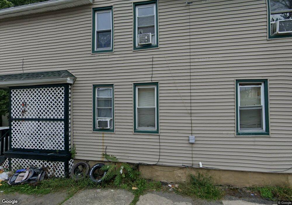
1742 Wayne Ave Scranton, PA 18508
Tripp's Park NeighborhoodEstimated Value: $91,000 - $169,606
Studio
--
Bath
--
Sq Ft
2,091
Sq Ft Lot
About This Home
This home is located at 1742 Wayne Ave, Scranton, PA 18508 and is currently estimated at $138,152. 1742 Wayne Ave is a home located in Lackawanna County with nearby schools including Neil Armstrong Elementary School, Northeast Scranton Intermediate School, and Scranton High School.
Ownership History
Date
Name
Owned For
Owner Type
Purchase Details
Closed on
Mar 4, 2020
Sold by
Morris Paul E
Bought by
Hebon Housing Development Llc
Current Estimated Value
Purchase Details
Closed on
Nov 18, 2016
Sold by
Wab Properties Llc
Bought by
Morris Paul E
Purchase Details
Closed on
Jun 6, 2008
Sold by
Hurd C Thomas and Hurd Margaret A
Bought by
Wab Properties Llc
Purchase Details
Closed on
Jun 10, 2005
Sold by
Catalano Michael A and Catalano Joan M
Bought by
Cramer Jocelyn
Create a Home Valuation Report for This Property
The Home Valuation Report is an in-depth analysis detailing your home's value as well as a comparison with similar homes in the area
Home Values in the Area
Average Home Value in this Area
Purchase History
| Date | Buyer | Sale Price | Title Company |
|---|---|---|---|
| Hebon Housing Development Llc | $45,000 | None Available | |
| Morris Paul E | $31,000 | None Available | |
| Wab Properties Llc | $29,000 | Harris Land Abstract Inc | |
| Cramer Jocelyn | $74,000 | None Available |
Source: Public Records
Tax History
| Year | Tax Paid | Tax Assessment Tax Assessment Total Assessment is a certain percentage of the fair market value that is determined by local assessors to be the total taxable value of land and additions on the property. | Land | Improvement |
|---|---|---|---|---|
| 2025 | $2,402 | $8,000 | $400 | $7,600 |
| 2024 | $2,184 | $8,000 | $400 | $7,600 |
| 2023 | $2,184 | $8,000 | $400 | $7,600 |
| 2022 | $2,135 | $8,000 | $400 | $7,600 |
| 2021 | $2,135 | $8,000 | $400 | $7,600 |
| 2020 | $2,092 | $8,000 | $400 | $7,600 |
| 2019 | $1,964 | $8,000 | $400 | $7,600 |
| 2018 | $1,964 | $8,000 | $400 | $7,600 |
| 2017 | $1,927 | $8,000 | $400 | $7,600 |
| 2016 | $477 | $8,000 | $400 | $7,600 |
| 2015 | $1,415 | $8,000 | $400 | $7,600 |
| 2014 | -- | $8,000 | $400 | $7,600 |
Source: Public Records
Map
Nearby Homes
- 328 Ferdinand St
- 309 Ferdinand St
- 1720 Mcdonough Ave
- 214 William St
- 1436 Church Ave
- 463 Oak St
- 2009-2011 Margaret Ave
- 1425 N Rebecca Ave
- 1402 N Rebecca Ave
- 1430 N Main Ave
- 510 Oak St
- 418 Leggett St
- 2105 Belmont Terrace
- 1819 Clearview St Unit L 109
- 2089 N Main Ave
- 805 Ferdinand St
- 1513 Meylert Ave
- 2141 N Main Ave
- 1519 1521 von Storch Ave
- 535 Green Ridge St
- 1742 Wayne Ave Unit 1744
- 1742 Rear Wayne Ave
- 1740 Wayne Ave
- 1746-1748 Wayne Ave
- 1746 Wayne Ave Unit 1748
- 1742 Rear Wayne Ave
- 1744 Wayne Ave
- 1752 1750R Wayne Ave
- 1752 Wayne Ave
- 1752 Wayne Ave
- 1725 N Sumner Ave Unit 1727
- 1734 1/2 Wayne Ave
- 1731 N Sumner Ave
- 1729 N Sumner Ave
- 1754 Wayne Ave
- 1735 N Sumner Ave
- 1730 Wayne Ave
- 1727 N Sumner Ave
- 1737 N Sumner Ave
- 1723 N Sumner Ave
Your Personal Tour Guide
Ask me questions while you tour the home.