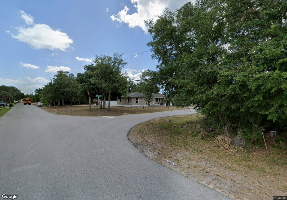
17429 Gulfspray Cir Port Charlotte, FL 33948
Estimated Value: $212,000 - $305,000
--
Bed
2
Baths
1,024
Sq Ft
$245/Sq Ft
Est. Value
About This Home
This home is located at 17429 Gulfspray Cir, Port Charlotte, FL 33948 and is currently estimated at $250,957, approximately $245 per square foot. 17429 Gulfspray Cir is a home located in Charlotte County with nearby schools including Meadow Park Elementary School, Murdock Middle School, and Port Charlotte High School.
Ownership History
Date
Name
Owned For
Owner Type
Purchase Details
Closed on
May 19, 2011
Sold by
Charlotte County Habitat For Humanity In
Bought by
Barnard Nikki
Current Estimated Value
Home Financials for this Owner
Home Financials are based on the most recent Mortgage that was taken out on this home.
Original Mortgage
$86,954
Outstanding Balance
$60,178
Interest Rate
4.79%
Mortgage Type
Seller Take Back
Estimated Equity
$190,779
Purchase Details
Closed on
Dec 1, 2009
Sold by
Kotson George W
Bought by
Charlotte County Habitat For Humanity In
Purchase Details
Closed on
May 9, 2002
Sold by
Hollis Stephen M
Bought by
Kotson George W
Home Financials for this Owner
Home Financials are based on the most recent Mortgage that was taken out on this home.
Original Mortgage
$3,000
Interest Rate
7.18%
Purchase Details
Closed on
Apr 9, 1997
Sold by
Clerk Circuit Court
Bought by
Hollis Stephen M
Create a Home Valuation Report for This Property
The Home Valuation Report is an in-depth analysis detailing your home's value as well as a comparison with similar homes in the area
Home Values in the Area
Average Home Value in this Area
Purchase History
| Date | Buyer | Sale Price | Title Company |
|---|---|---|---|
| Barnard Nikki | $119,800 | Attorney | |
| Charlotte County Habitat For Humanity In | -- | Attorney | |
| Kotson George W | $5,400 | -- | |
| Hollis Stephen M | $1,300 | -- |
Source: Public Records
Mortgage History
| Date | Status | Borrower | Loan Amount |
|---|---|---|---|
| Open | Barnard Nikki | $86,954 | |
| Previous Owner | Kotson George W | $3,000 |
Source: Public Records
Tax History Compared to Growth
Tax History
| Year | Tax Paid | Tax Assessment Tax Assessment Total Assessment is a certain percentage of the fair market value that is determined by local assessors to be the total taxable value of land and additions on the property. | Land | Improvement |
|---|---|---|---|---|
| 2023 | $3,302 | $135,667 | $0 | $0 |
| 2022 | $2,701 | $129,111 | $20,400 | $108,711 |
| 2021 | $2,547 | $112,122 | $11,475 | $100,647 |
| 2020 | $2,580 | $116,410 | $11,475 | $104,935 |
| 2019 | $2,351 | $103,962 | $11,475 | $92,487 |
| 2018 | $1,469 | $97,467 | $10,200 | $87,267 |
| 2017 | $1,478 | $97,277 | $11,220 | $86,057 |
| 2016 | $1,910 | $79,747 | $0 | $0 |
| 2015 | $1,743 | $72,497 | $0 | $0 |
| 2014 | $2,175 | $98,616 | $0 | $0 |
Source: Public Records
Map
Nearby Homes
- 4106 Joseph St
- 4133 Joseph St
- 17200 Gulfspray Cir
- 4137 Juniper St
- 17412 Pheasant Cir
- 4049 Brendle St
- 17404 Pheasant Cir
- 17413 Pheasant Cir
- 4113 Juniper St
- 4187 Juniper St
- 4146 Juniper St
- 17433 Edgewater Dr
- 4169 Joseph St
- 17439 Edgewater Dr
- 4172 Joseph St
- 4233 Brendle St
- 4180 Brendle St
- 4129 Jeanette St
- 17384 Robinson Ave
- 17356 Gulfspray Cir
- 17421 Gulfspray Cir
- 17177 Gulfspray Cir
- 17193 Gulfspray Cir
- 4082 Joseph St
- 4090 Joseph St
- 17428 Gulfspray Cir
- 17413 Gulfspray Cir
- 17420 Gulfspray Cir
- 4074 Joseph St
- 17201 Gulfspray Cir
- 17412 Gulfspray Cir
- 4066 Joseph St
- 4098 Joseph St
- 17405 Gulfspray Cir
- 4109 Joseph St
- 17404 Gulfspray Cir
- 17209 Gulfspray Cir
- 4058 Joseph St
- 4081 Juniper St
- 4089 Juniper St