1743 Cr 2500n Arthur, IL 61911
Estimated Value: $121,000 - $262,000
--
Bed
1
Bath
1,696
Sq Ft
$98/Sq Ft
Est. Value
About This Home
This home is located at 1743 Cr 2500n, Arthur, IL 61911 and is currently estimated at $166,077, approximately $97 per square foot. 1743 Cr 2500n is a home located in Moultrie County with nearby schools including Arthur Grade School and Arthur Lovington Atwood Hammond High School.
Create a Home Valuation Report for This Property
The Home Valuation Report is an in-depth analysis detailing your home's value as well as a comparison with similar homes in the area
Home Values in the Area
Average Home Value in this Area
Tax History Compared to Growth
Tax History
| Year | Tax Paid | Tax Assessment Tax Assessment Total Assessment is a certain percentage of the fair market value that is determined by local assessors to be the total taxable value of land and additions on the property. | Land | Improvement |
|---|---|---|---|---|
| 2024 | $1,267 | $27,149 | $8,055 | $19,094 |
| 2023 | $1,192 | $25,490 | $7,563 | $17,927 |
| 2022 | $1,075 | $23,307 | $8,185 | $15,122 |
| 2021 | $1,053 | $22,159 | $7,782 | $14,377 |
| 2020 | $1,018 | $21,278 | $7,473 | $13,805 |
| 2019 | $997 | $20,904 | $7,342 | $13,562 |
| 2018 | $258 | $9,716 | $6,334 | $3,382 |
| 2017 | $249 | $9,678 | $6,309 | $3,369 |
| 2016 | $264 | $9,699 | $6,323 | $3,376 |
| 2015 | $551 | $13,798 | $6,845 | $6,953 |
| 2014 | -- | $10,498 | $6,845 | $3,653 |
| 2013 | -- | $10,498 | $6,845 | $3,653 |
Source: Public Records
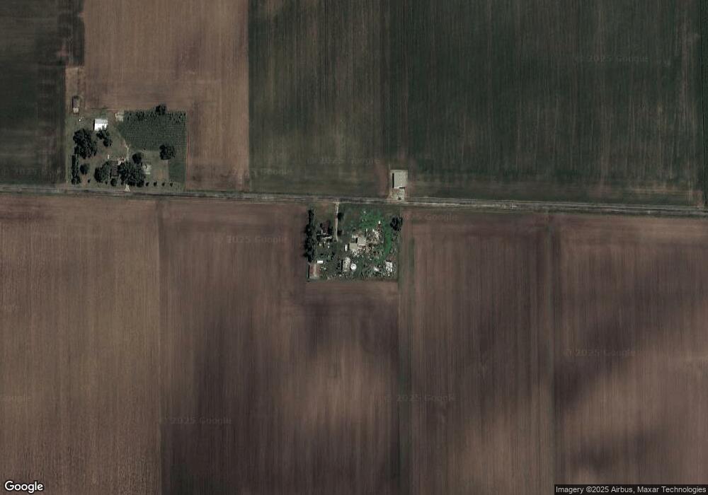
Map
Nearby Homes
- 219 S Missouri St
- 320 S Main St
- 3 Royal Ct
- 5 Royal Ct
- 2 Royal Ct
- 4 Royal Ct
- 222 S Iowa St
- 215 N Kansas St
- 210 N Kentucky St
- 209 N Iowa St
- 333 E Orchard Ave
- 201 W Locust
- 421 N Illinois St
- 101 Rhine Blvd
- 1227 E 100 North Rd
- 1233 E 100 Rd N
- Lot 17 N Beech St
- Lot 16 N Beech St
- 90 N 1150 East Rd
- 221 S Hickory St