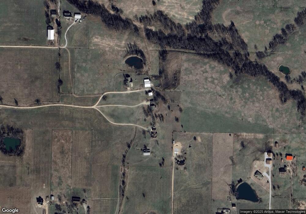
17436 Highway 16 Siloam Springs, AR 72761
Estimated Value: $450,000 - $688,000
3
Beds
3
Baths
3,110
Sq Ft
$187/Sq Ft
Est. Value
About This Home
This home is located at 17436 Highway 16, Siloam Springs, AR 72761 and is currently estimated at $582,303, approximately $187 per square foot. 17436 Highway 16 is a home located in Benton County with nearby schools including Northside Elementary School, Southside Elementary School, and Delbert Pete & Pat Allen Elementary School.
Ownership History
Date
Name
Owned For
Owner Type
Purchase Details
Closed on
Jun 30, 2006
Sold by
Shoop David and Shoop Joy
Bought by
Harmon Darrell and Harmon Marena
Current Estimated Value
Home Financials for this Owner
Home Financials are based on the most recent Mortgage that was taken out on this home.
Original Mortgage
$215,000
Interest Rate
9%
Mortgage Type
Unknown
Purchase Details
Closed on
Jun 10, 2005
Sold by
Sullins Virgil Lee Bud and Sullins Carol A
Bought by
Spears Billy C and Spears Aundra
Home Financials for this Owner
Home Financials are based on the most recent Mortgage that was taken out on this home.
Original Mortgage
$23,492
Interest Rate
6.75%
Mortgage Type
Purchase Money Mortgage
Purchase Details
Closed on
Oct 4, 2004
Bought by
Harmon
Purchase Details
Closed on
Sep 30, 2004
Bought by
Harmon
Create a Home Valuation Report for This Property
The Home Valuation Report is an in-depth analysis detailing your home's value as well as a comparison with similar homes in the area
Home Values in the Area
Average Home Value in this Area
Purchase History
| Date | Buyer | Sale Price | Title Company |
|---|---|---|---|
| Harmon Darrell | $213,000 | Waco Title Company | |
| Spears Billy C | $30,000 | Waco Title Company | |
| Harmon | $210,000 | -- | |
| Harmon | $210,000 | -- |
Source: Public Records
Mortgage History
| Date | Status | Borrower | Loan Amount |
|---|---|---|---|
| Closed | Harmon Darrell | $215,000 | |
| Previous Owner | Spears Billy C | $23,492 |
Source: Public Records
Tax History Compared to Growth
Tax History
| Year | Tax Paid | Tax Assessment Tax Assessment Total Assessment is a certain percentage of the fair market value that is determined by local assessors to be the total taxable value of land and additions on the property. | Land | Improvement |
|---|---|---|---|---|
| 2025 | $3,064 | $106,715 | $23,046 | $83,669 |
| 2024 | $2,885 | $98,290 | $23,046 | $75,244 |
| 2023 | $2,748 | $61,790 | $11,720 | $50,070 |
| 2022 | $2,253 | $61,790 | $11,720 | $50,070 |
| 2021 | $2,127 | $61,790 | $11,720 | $50,070 |
| 2020 | $2,015 | $45,870 | $7,010 | $38,860 |
| 2019 | $1,987 | $45,870 | $7,010 | $38,860 |
| 2018 | $1,913 | $45,870 | $7,010 | $38,860 |
| 2017 | $1,716 | $45,870 | $7,010 | $38,860 |
| 2016 | $1,716 | $45,870 | $7,010 | $38,860 |
| 2015 | $1,968 | $37,770 | $5,010 | $32,760 |
| 2014 | $1,618 | $37,770 | $5,010 | $32,760 |
Source: Public Records
Map
Nearby Homes
- 17171 Winwood Ranch Rd
- 16337 W Highway 16
- 20167 Chamber Springs Rd
- 17745 Chamber Springs Rd
- 21198 Highway 244 N
- 19253 Highway 16
- 19994 Slate Gap Rd
- 19493 Arkansas 16
- 19555 Arkansas 16
- 19731 Nokes Farm Rd
- 0 Oakridge Ct Unit 1305917
- 0 Oakridge Ct Unit 1305922
- 0 Oakridge Ct Unit 1305918
- 0 Oakridge Ct Unit 1305913
- 0 Tbd Unit 1322578
- 402 W Cloud Dr
- 2807 N Denver St
- 2809 N Denver St
- 3610 N Jr Martin Dr
- 17901 Hook Monument Dr
- 17420 Highway 16
- 17410 Highway 16
- 17100 Winwood Ranch Rd
- 17150 Winwood Ranch Rd
- 17490 Highway 16
- 16890 Winwood Ranch Rd
- 16922 Winwood Ranch Rd
- 125 Highway 125 Curry Lane Hwy
- 17268 Winwood Ranch Rd
- 17202 Winwood Ranch Rd
- 16878 Winwood Ranch Rd
- 17103 Winwood Ranch Rd
- 5AC Winwood Ranch Rd Unit Parcel 2
- 40AC Winwood Ranch Rd
- 10AC Winwood Ranch Rd
- 16891 Winwood Ranch Rd
- 16929 Winwood Ranch Rd
- 16893 Winwood Ranch Rd
- 16 Highway 16 Hwy
- 0 Winwood Ranch Rd Unit 657220
