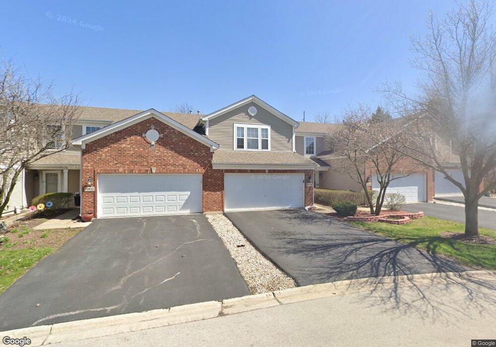
17439 Fox Bend Ln Lockport, IL 60441
Estimated Value: $260,964 - $309,000
Studio
--
Bath
1,487
Sq Ft
$190/Sq Ft
Est. Value
About This Home
This home is located at 17439 Fox Bend Ln, Lockport, IL 60441 and is currently estimated at $283,241, approximately $190 per square foot. 17439 Fox Bend Ln is a home located in Will County with nearby schools including William J. Butler, Hadley Middle School, and Homer Jr High School.
Ownership History
Date
Name
Owned For
Owner Type
Purchase Details
Closed on
Jan 9, 2001
Sold by
Centex Homes
Bought by
Barrett Edward J and Barrett Lisa M
Current Estimated Value
Home Financials for this Owner
Home Financials are based on the most recent Mortgage that was taken out on this home.
Original Mortgage
$95,000
Outstanding Balance
$34,237
Interest Rate
7.22%
Estimated Equity
$249,004
Create a Home Valuation Report for This Property
The Home Valuation Report is an in-depth analysis detailing your home's value as well as a comparison with similar homes in the area
Home Values in the Area
Average Home Value in this Area
Purchase History
| Date | Buyer | Sale Price | Title Company |
|---|---|---|---|
| Barrett Edward J | $126,500 | Chicago Title Insurance Co |
Source: Public Records
Mortgage History
| Date | Status | Borrower | Loan Amount |
|---|---|---|---|
| Open | Barrett Edward J | $95,000 |
Source: Public Records
Tax History
| Year | Tax Paid | Tax Assessment Tax Assessment Total Assessment is a certain percentage of the fair market value that is determined by local assessors to be the total taxable value of land and additions on the property. | Land | Improvement |
|---|---|---|---|---|
| 2024 | $6,550 | $82,796 | $13,001 | $69,795 |
| 2023 | $6,550 | $75,051 | $11,785 | $63,266 |
| 2022 | $5,290 | $62,219 | $10,189 | $52,030 |
| 2021 | $5,037 | $58,947 | $9,653 | $49,294 |
| 2020 | $5,045 | $56,778 | $9,298 | $47,480 |
| 2019 | $4,808 | $54,621 | $8,945 | $45,676 |
| 2018 | $4,690 | $52,679 | $8,842 | $43,837 |
| 2017 | $4,609 | $51,204 | $8,594 | $42,610 |
| 2016 | $4,499 | $49,496 | $8,307 | $41,189 |
| 2015 | $4,395 | $47,638 | $7,995 | $39,643 |
| 2014 | $4,395 | $46,654 | $7,830 | $38,824 |
| 2013 | $4,395 | $46,654 | $7,830 | $38,824 |
Source: Public Records
Map
Nearby Homes
- 16007 W Bruce Rd
- 17656 S Gilbert Dr
- 17543 S Gilbert Dr
- 15880 W Bruce Rd
- 17040 Cheyenne Ct
- 17259 Long Bow Dr
- 15959 Prairie View Ct Unit T6
- 15949 Prairie View Ct Unit T5
- 16510 Teton Dr
- 15911 Crimson Dr
- 15903 Crimson Dr
- 14847 S Hillside Dr
- 14845 S Hillside Dr
- 14805 S Hillside Dr
- 14849 S Hillside Dr
- 14801 S Hillside Dr
- 16830 S Parker Ridge Dr
- 15903 W Iroquois Dr
- 16641 W Oneida Dr
- 16704 W Natoma Dr
- 17441 Fox Bend Ln
- 17441 Fox Bend Ln Unit 7441
- 17437 Fox Bend Ln
- 17435 Fox Bend Ln Unit 2
- 17443 Fox Bend Ln
- 17433 Fox Bend Ln
- 17253 S Gougar Rd
- 16013 Tiger Dr
- 16013 Tiger Dr Unit 1601
- 17429 Fox Bend Ln
- 16018 Tiger Dr Unit 2
- 16010 W Bruce Rd
- 16015 Tiger Dr
- 17427 Fox Bend Ln
- 16017 Tiger Dr
- 16020 Tiger Dr
- 16019 Tiger Dr
- 17425 Fox Bend Ln
- 17425 Fox Bend Ln Unit 1
- 16022 Tiger Dr
Your Personal Tour Guide
Ask me questions while you tour the home.