1744 Queensbury Cir Unit 5831 Hoffman Estates, IL 60169
South Hoffman Estates NeighborhoodEstimated Value: $202,000 - $253,000
2
Beds
2
Baths
1,200
Sq Ft
$192/Sq Ft
Est. Value
About This Home
This home is located at 1744 Queensbury Cir Unit 5831, Hoffman Estates, IL 60169 and is currently estimated at $230,990, approximately $192 per square foot. 1744 Queensbury Cir Unit 5831 is a home located in Cook County with nearby schools including John Muir Literacy Academy, Dwight D Eisenhower Junior High School, and Hoffman Estates High School.
Ownership History
Date
Name
Owned For
Owner Type
Purchase Details
Closed on
Jan 22, 2000
Sold by
Pacanowski Ronald F and Pacanowski Linda M
Bought by
Apparsamy Balaji
Current Estimated Value
Home Financials for this Owner
Home Financials are based on the most recent Mortgage that was taken out on this home.
Original Mortgage
$83,450
Outstanding Balance
$27,371
Interest Rate
8.27%
Mortgage Type
FHA
Estimated Equity
$203,619
Create a Home Valuation Report for This Property
The Home Valuation Report is an in-depth analysis detailing your home's value as well as a comparison with similar homes in the area
Home Values in the Area
Average Home Value in this Area
Purchase History
| Date | Buyer | Sale Price | Title Company |
|---|---|---|---|
| Apparsamy Balaji | $85,500 | -- |
Source: Public Records
Mortgage History
| Date | Status | Borrower | Loan Amount |
|---|---|---|---|
| Open | Apparsamy Balaji | $83,450 |
Source: Public Records
Tax History Compared to Growth
Tax History
| Year | Tax Paid | Tax Assessment Tax Assessment Total Assessment is a certain percentage of the fair market value that is determined by local assessors to be the total taxable value of land and additions on the property. | Land | Improvement |
|---|---|---|---|---|
| 2024 | $4,720 | $15,382 | $3,929 | $11,453 |
| 2023 | $4,568 | $15,382 | $3,929 | $11,453 |
| 2022 | $4,568 | $15,382 | $3,929 | $11,453 |
| 2021 | $4,020 | $11,998 | $6,188 | $5,810 |
| 2020 | $3,926 | $11,998 | $6,188 | $5,810 |
| 2019 | $3,923 | $13,398 | $6,188 | $7,210 |
| 2018 | $2,589 | $7,940 | $5,402 | $2,538 |
| 2017 | $2,543 | $7,940 | $5,402 | $2,538 |
| 2016 | $2,365 | $7,940 | $5,402 | $2,538 |
| 2015 | $1,164 | $6,249 | $4,714 | $1,535 |
| 2014 | $1,161 | $6,249 | $4,714 | $1,535 |
| 2013 | $1,113 | $6,249 | $4,714 | $1,535 |
Source: Public Records
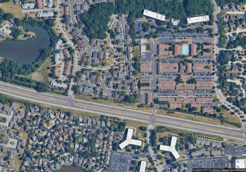
Map
Nearby Homes
- 1808 Fayette Walk Unit H
- 1763 Bristol Walk Unit 1763
- 1475 Rebecca Dr Unit 217
- 1840 Huntington Blvd Unit 415
- 1840 Huntington Blvd Unit 412
- 1685 Cornell Dr
- 1800 Huntington Blvd Unit AE615
- 1704 Fayette Walk Unit B
- 1375 Rebecca Dr Unit 318
- 1672 Cornell Dr
- 1862 Stockton Dr Unit 3283
- 1886 Stockton Dr Unit 3253
- 1854 Huntington Blvd Unit C
- 1956 Georgetown Ln Unit 4
- 1925 Georgetown Ln Unit 4
- 1738 Ardwick Dr
- 1415 N Oakmont Rd
- 2230 Stratham Place
- 1698 Pebble Beach Dr
- 1940 Kenilworth Cir Unit D
- 1750 Queensbury Cir Unit 5834
- 1748 Queensbury Cir Unit 5833
- 1747 Queensbury Cir Unit 5962
- 1729 Queensbury Cir Unit 5941
- 1745 Queensbury Cir Unit 5961
- 1725 Queensbury Cir Unit 5933
- 1749 Queensbury Cir Unit 5963
- 1731 Queensbury Cir Unit 5942
- 1762 Queensbury Cir Unit 5812
- 1721 Queensbury Cir Unit 5931
- 1735 Queensbury Cir Unit 5944
- 1735 Queensbury Cir Unit 1735
- 1720 Queensbury Cir Unit 5844
- 1718 Queensbury Cir Unit 5843
- 1723 Queensbury Cir Unit 5932
- 1723 Queensbury Cir Unit 5931
- 1759 Queensbury Cir Unit 5801
- 1751 Queensbury Cir Unit 5964
- 1766 Queensbury Cir Unit 5814
- 1764 Queensbury Cir Unit 5813