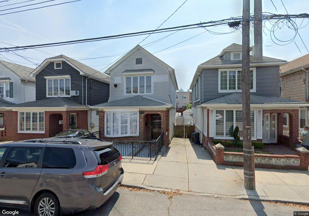
1744 Stuart St Brooklyn, NY 11229
Marine Park NeighborhoodEstimated Value: $865,000 - $1,071,000
Studio
--
Bath
1,376
Sq Ft
$689/Sq Ft
Est. Value
About This Home
This home is located at 1744 Stuart St, Brooklyn, NY 11229 and is currently estimated at $948,361, approximately $689 per square foot. 1744 Stuart St is a home located in Kings County with nearby schools including PS 222 Katherine R Snyder, J.H.S. 278 Marine Park, and James Madison High School.
Ownership History
Date
Name
Owned For
Owner Type
Purchase Details
Closed on
Dec 1, 2021
Sold by
Gioia Angelo and Perry-Gioia Audrey L
Bought by
Angelo Gioia Trustee and Audrey L. Perry-Gioia, Trustee
Current Estimated Value
Purchase Details
Closed on
May 12, 1994
Sold by
Checkon Geraldine M
Bought by
Gioia Angelo and Perry Gioia Audrey L
Home Financials for this Owner
Home Financials are based on the most recent Mortgage that was taken out on this home.
Original Mortgage
$65,000
Interest Rate
8.5%
Create a Home Valuation Report for This Property
The Home Valuation Report is an in-depth analysis detailing your home's value as well as a comparison with similar homes in the area
Home Values in the Area
Average Home Value in this Area
Purchase History
| Date | Buyer | Sale Price | Title Company |
|---|---|---|---|
| Angelo Gioia Trustee | -- | -- | |
| Gioia Angelo | $190,000 | The Title Guarantee Company |
Source: Public Records
Mortgage History
| Date | Status | Borrower | Loan Amount |
|---|---|---|---|
| Previous Owner | Gioia Angelo | $65,000 |
Source: Public Records
Tax History
| Year | Tax Paid | Tax Assessment Tax Assessment Total Assessment is a certain percentage of the fair market value that is determined by local assessors to be the total taxable value of land and additions on the property. | Land | Improvement |
|---|---|---|---|---|
| 2025 | $8,636 | $63,540 | $13,140 | $50,400 |
| 2024 | $8,636 | $60,960 | $13,140 | $47,820 |
| 2023 | $8,204 | $65,040 | $13,140 | $51,900 |
| 2022 | $7,564 | $61,860 | $13,140 | $48,720 |
| 2021 | $7,576 | $67,860 | $13,140 | $54,720 |
| 2019 | $7,202 | $54,780 | $13,140 | $41,640 |
| 2018 | $6,641 | $34,038 | $10,529 | $23,509 |
| 2017 | $6,474 | $33,231 | $10,517 | $22,714 |
| 2016 | $5,958 | $31,351 | $9,589 | $21,762 |
| 2015 | $3,561 | $31,351 | $13,851 | $17,500 |
| 2014 | $3,561 | $29,859 | $11,214 | $18,645 |
Source: Public Records
Map
Nearby Homes
- 1747 Stuart St
- 1721 E 29th St
- 1746 Gerritsen Ave
- 1702 E 28th St
- 1746 E 28th St
- 2988 Nostrand Ave
- 1664 Madison Place
- 2991 Quentin Rd
- 1659 Madison Place
- 1837 Burnett St
- 3165 Nostrand Ave Unit 1G
- 3165 Nostrand Ave Unit 1N
- 3165 Nostrand Ave Unit 4V
- 3165 Nostrand Ave Unit 1S
- 1817 Madison Place
- 3178 Nostrand Ave Unit 1C
- 3178 Nostrand Ave Unit 1M
- 3178 Nostrand Ave Unit 5H
- 1814 E 28th St
- 1848 Haring St
- 1748 Stuart St
- 1740 Stuart St
- 1738 Stuart St
- 1750 Stuart St
- 1736 Stuart St
- 1754 Stuart St
- 1758 Stuart St
- 1732 Stuart St
- 1715 Gerritsen Ave
- 1719 Gerritsen Ave
- 1711 Gerritsen Ave
- 1723 Gerritsen Ave
- 1709 Gerritsen Ave
- 1760 Stuart St
- 1730 Stuart St
- 1727 Gerritsen Ave
- 1705 Gerritsen Ave
- 1762 Stuart St
- 1726 Stuart St
- 1731 Gerritsen Ave
Your Personal Tour Guide
Ask me questions while you tour the home.