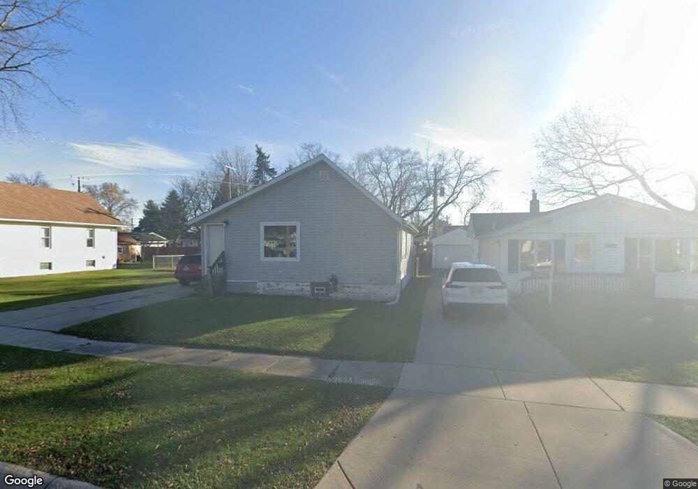
1744 Whipple St Unit Bldg-Unit Port Huron, MI 48060
Estimated Value: $119,000 - $148,213
--
Bed
1
Bath
806
Sq Ft
$169/Sq Ft
Est. Value
About This Home
This home is located at 1744 Whipple St Unit Bldg-Unit, Port Huron, MI 48060 and is currently estimated at $136,053, approximately $168 per square foot. 1744 Whipple St Unit Bldg-Unit is a home located in St. Clair County with nearby schools including H.D. Crull Elementary School, Holland Woods Middle School, and Port Huron Northern High School.
Ownership History
Date
Name
Owned For
Owner Type
Purchase Details
Closed on
Aug 7, 2024
Sold by
Harvey Austin
Bought by
Mathews Mckenzie M
Current Estimated Value
Purchase Details
Closed on
Jun 28, 2024
Sold by
Harvey Austin
Bought by
Mathews Mckenzie M
Purchase Details
Closed on
Mar 29, 2018
Sold by
Bushaw David A
Bought by
Harvey Austin
Home Financials for this Owner
Home Financials are based on the most recent Mortgage that was taken out on this home.
Original Mortgage
$59,994
Interest Rate
4.43%
Mortgage Type
New Conventional
Create a Home Valuation Report for This Property
The Home Valuation Report is an in-depth analysis detailing your home's value as well as a comparison with similar homes in the area
Home Values in the Area
Average Home Value in this Area
Purchase History
| Date | Buyer | Sale Price | Title Company |
|---|---|---|---|
| Mathews Mckenzie M | $125,000 | Liberty Title | |
| Mathews Mckenzie M | $125,000 | Liberty Title | |
| Harvey Austin | $61,850 | None Available |
Source: Public Records
Mortgage History
| Date | Status | Borrower | Loan Amount |
|---|---|---|---|
| Previous Owner | Harvey Austin | $59,994 |
Source: Public Records
Tax History Compared to Growth
Tax History
| Year | Tax Paid | Tax Assessment Tax Assessment Total Assessment is a certain percentage of the fair market value that is determined by local assessors to be the total taxable value of land and additions on the property. | Land | Improvement |
|---|---|---|---|---|
| 2025 | $1,623 | $52,100 | $0 | $0 |
| 2024 | $1,347 | $46,600 | $0 | $0 |
| 2023 | $1,272 | $41,700 | $0 | $0 |
| 2022 | $1,297 | $35,700 | $0 | $0 |
| 2021 | $1,231 | $33,100 | $0 | $0 |
| 2020 | $1,245 | $30,800 | $30,800 | $0 |
| 2019 | $1,223 | $21,500 | $0 | $0 |
| 2018 | $860 | $21,500 | $0 | $0 |
| 2017 | $1,100 | $20,300 | $0 | $0 |
| 2016 | $971 | $20,300 | $0 | $0 |
| 2015 | $953 | $18,300 | $18,300 | $0 |
| 2014 | $953 | $17,700 | $17,700 | $0 |
| 2013 | -- | $17,700 | $0 | $0 |
Source: Public Records
Map
Nearby Homes
- 1733 Whipple St
- 1649 Whipple St
- 1819 Riverside Dr
- 1620 McBrady St
- 1907 Riverside Dr
- 0000 Campau Ave
- 1433 Poplar St
- 29 Taylor St
- 1417 Kearney St
- 1819 Kern St
- 1825 Kern St
- 1321 Nelson St
- 146 Taylor St
- 00 Campau Ave
- 2215 Hancock St
- 2838 Elmwood St
- 0000 Manuel St
- 2400 Stone St Unit 2414
- 1617 Francis St
- 2045 Yeager St
- 1744 Whipple St
- 1750 Whipple St
- 1736 Whipple St
- 1739 Thomas St
- 1751 Whipple St
- 1741 Thomas St
- 1728 Whipple St
- 1735 Thomas St
- 1731 Whipple St
- 1733 Thomas St
- 1706 McBrady St
- 1714 McBrady St Unit 1716
- 1723 Whipple St
- 1718 Whipple St
- 1717 Whipple St
- 1702 McBrady St
- 1704 McBrady St
- 1718 McBrady St Unit 1720
- 1683 Thomas St
- 1677 Thomas St