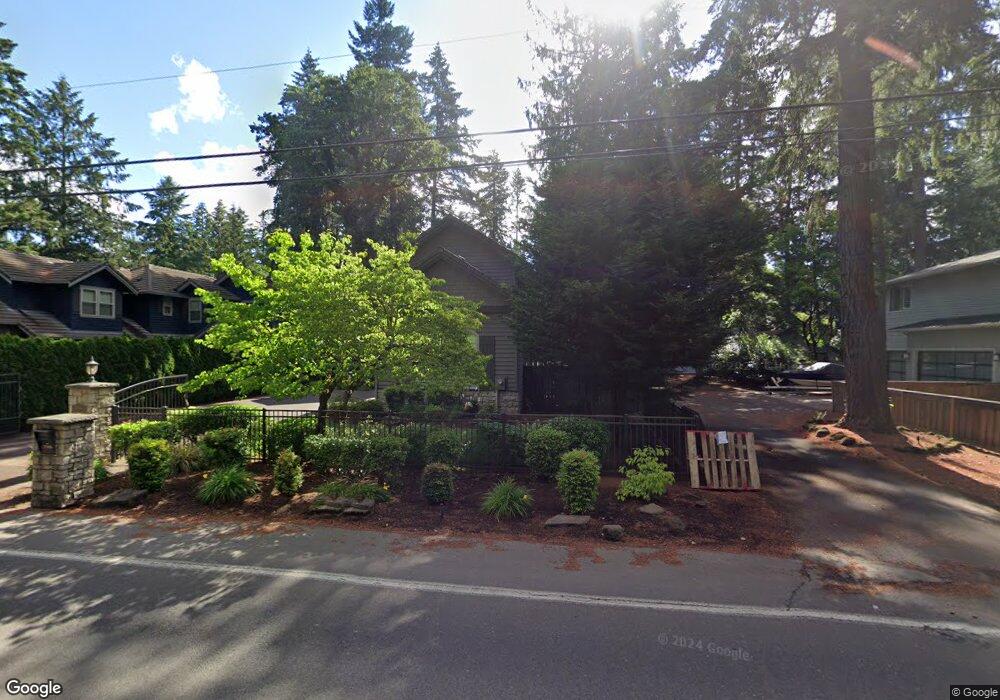
17446 Bryant Rd Lake Oswego, OR 97035
Bryant NeighborhoodEstimated Value: $1,544,076 - $2,032,000
4
Beds
4
Baths
3,506
Sq Ft
$512/Sq Ft
Est. Value
About This Home
This home is located at 17446 Bryant Rd, Lake Oswego, OR 97035 and is currently estimated at $1,794,519, approximately $511 per square foot. 17446 Bryant Rd is a home located in Clackamas County with nearby schools including Westridge Elementary School, Lakeridge Middle School, and Lakeridge High School.
Ownership History
Date
Name
Owned For
Owner Type
Purchase Details
Closed on
Jan 4, 2016
Sold by
Krause Jason R and Krause Karissa J
Bought by
Sandell Alison A and Sandell Cody P
Current Estimated Value
Home Financials for this Owner
Home Financials are based on the most recent Mortgage that was taken out on this home.
Original Mortgage
$740,000
Interest Rate
3.81%
Mortgage Type
New Conventional
Purchase Details
Closed on
Aug 24, 2010
Sold by
Community Financial Corporation
Bought by
Krause Jason R and Krause Karissa J
Home Financials for this Owner
Home Financials are based on the most recent Mortgage that was taken out on this home.
Original Mortgage
$430,000
Interest Rate
4.52%
Mortgage Type
Seller Take Back
Purchase Details
Closed on
Apr 28, 2010
Sold by
J C Reeves Corporation
Bought by
Community Financial Corporation
Create a Home Valuation Report for This Property
The Home Valuation Report is an in-depth analysis detailing your home's value as well as a comparison with similar homes in the area
Home Values in the Area
Average Home Value in this Area
Purchase History
| Date | Buyer | Sale Price | Title Company |
|---|---|---|---|
| Sandell Alison A | $925,000 | Old Republic Title | |
| Krause Jason R | $730,000 | Fidelity Natl Title Co Of Or | |
| Community Financial Corporation | -- | Accommodation |
Source: Public Records
Mortgage History
| Date | Status | Borrower | Loan Amount |
|---|---|---|---|
| Previous Owner | Sandell Alison A | $740,000 | |
| Previous Owner | Krause Jason R | $430,000 |
Source: Public Records
Tax History Compared to Growth
Tax History
| Year | Tax Paid | Tax Assessment Tax Assessment Total Assessment is a certain percentage of the fair market value that is determined by local assessors to be the total taxable value of land and additions on the property. | Land | Improvement |
|---|---|---|---|---|
| 2025 | $21,439 | $1,116,353 | -- | -- |
| 2024 | $20,867 | $1,083,838 | -- | -- |
| 2023 | $20,867 | $1,052,270 | $0 | $0 |
| 2022 | $19,653 | $1,021,622 | $0 | $0 |
| 2021 | $17,819 | $976,001 | $0 | $0 |
| 2020 | $16,981 | $947,574 | $0 | $0 |
| 2019 | $16,652 | $919,975 | $0 | $0 |
| 2018 | $16,152 | $893,180 | $0 | $0 |
| 2017 | $15,552 | $867,165 | $0 | $0 |
| 2016 | $13,911 | $841,908 | $0 | $0 |
| 2015 | $13,404 | $817,386 | $0 | $0 |
| 2014 | $12,906 | $793,579 | $0 | $0 |
Source: Public Records
Map
Nearby Homes
- 4224 Haven St
- 4241 Cobb Way
- 17855 Deerbrush Ave
- 4264 Westbay Rd
- 17810 Sarah Hill Ln
- 18121 Deerbrush Ave
- 4160 Westbay Rd
- 17595 Kelok Rd
- 4971 Lakeview Blvd
- 4470 Lakeview Blvd
- 4640 Lower Dr
- 4610 Lower Dr
- 4368 Lakeview Blvd
- 16755 Graef Cir
- 17367 Canal Cir
- 5189 Rosewood St
- 5225 Jean Rd Unit 307
- 4480 Upper Dr
- 17239 Rebecca Ln
- 5328 Lower Dr
- 17424 Bryant Rd
- 17408 Bryant Rd
- 17462 Bryant Rd
- 17484 Bryant Rd
- 17382 Bryant Rd
- 17453 Redfern Ave
- 17407 Redfern Ave
- 4367 Haven St
- 4503 Black Forest Ct
- 17461 Redfern Ave
- 4504 Wildwood St
- 17348 Bryant Rd
- 17473 Redfern Ave
- 4545 Black Forest Ct
- 17558 Bryant Rd Unit 1
- 17558 Bryant Rd
- 17546 Bryant Rd
- 4548 Black Forest Ct
- 17364 Bryant Rd
- 17521 Redfern Ave