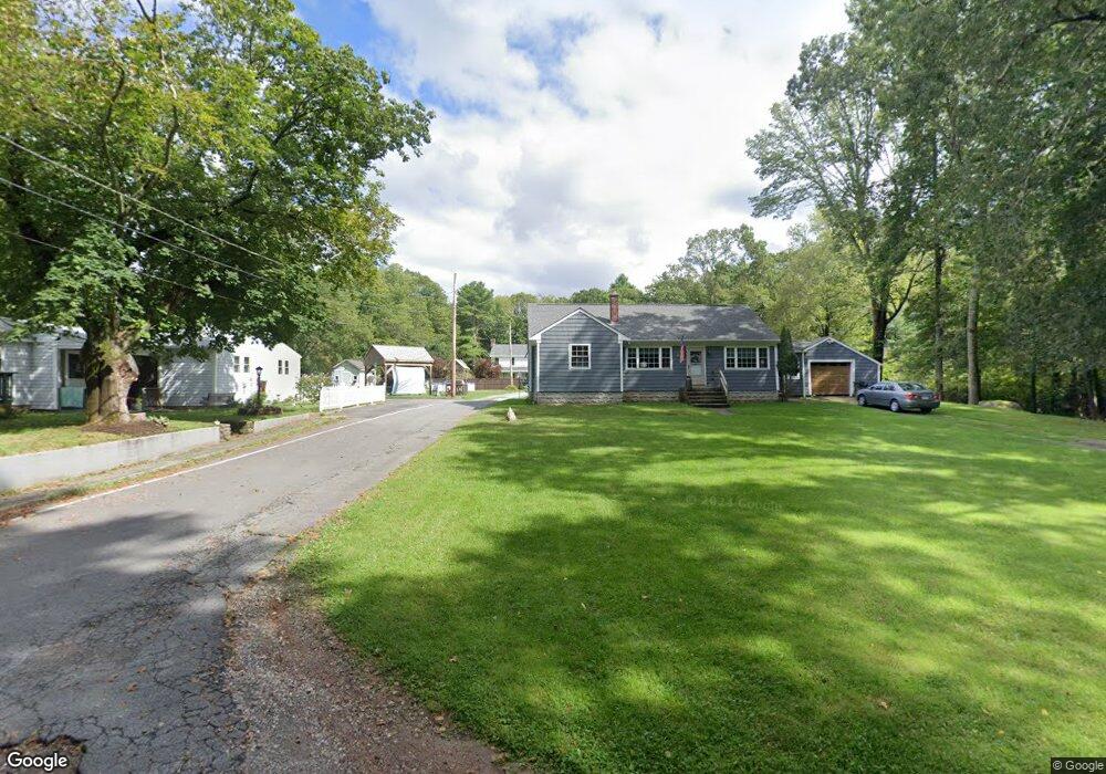
1745 Blossom Rd Westport, MA 02790
Estimated Value: $554,000 - $694,000
2
Beds
1
Bath
960
Sq Ft
$663/Sq Ft
Est. Value
About This Home
This home is located at 1745 Blossom Rd, Westport, MA 02790 and is currently estimated at $636,151, approximately $662 per square foot. 1745 Blossom Rd is a home located in Bristol County with nearby schools including North End Elementary School, Morton Middle School, and B M C Durfee High School.
Ownership History
Date
Name
Owned For
Owner Type
Purchase Details
Closed on
Jun 25, 2009
Sold by
Shurtleff Doris P and Shurtleff Leonard E
Bought by
Parisee Keith W and Fiedler Erin L
Current Estimated Value
Home Financials for this Owner
Home Financials are based on the most recent Mortgage that was taken out on this home.
Original Mortgage
$116,000
Outstanding Balance
$74,194
Interest Rate
4.92%
Mortgage Type
Purchase Money Mortgage
Estimated Equity
$561,957
Create a Home Valuation Report for This Property
The Home Valuation Report is an in-depth analysis detailing your home's value as well as a comparison with similar homes in the area
Home Values in the Area
Average Home Value in this Area
Purchase History
| Date | Buyer | Sale Price | Title Company |
|---|---|---|---|
| Parisee Keith W | $101,000 | -- |
Source: Public Records
Mortgage History
| Date | Status | Borrower | Loan Amount |
|---|---|---|---|
| Open | Parisee Keith W | $116,000 |
Source: Public Records
Tax History Compared to Growth
Tax History
| Year | Tax Paid | Tax Assessment Tax Assessment Total Assessment is a certain percentage of the fair market value that is determined by local assessors to be the total taxable value of land and additions on the property. | Land | Improvement |
|---|---|---|---|---|
| 2025 | $5,384 | $470,200 | $169,000 | $301,200 |
| 2024 | $5,071 | $441,300 | $162,500 | $278,800 |
| 2023 | $5,506 | $448,700 | $140,500 | $308,200 |
| 2022 | $3,920 | $310,600 | $131,400 | $179,200 |
| 2021 | $3,948 | $285,500 | $131,800 | $153,700 |
| 2020 | $3,988 | $276,000 | $132,100 | $143,900 |
| 2019 | $3,970 | $272,300 | $134,200 | $138,100 |
| 2018 | $3,664 | $250,600 | $134,200 | $116,400 |
| 2017 | $3,324 | $237,400 | $123,100 | $114,300 |
| 2016 | $3,155 | $231,500 | $123,100 | $108,400 |
| 2015 | $3,069 | $234,600 | $123,100 | $111,500 |
| 2014 | $2,451 | $194,800 | $114,800 | $80,000 |
Source: Public Records
Map
Nearby Homes
- 128 Old Bedford Rd
- 55 Lynch Ln
- 44 Fenmore St
- 168 Windsor St
- 309 Yellow Hill Rd
- 1796 Locust St
- 3 Diane Way
- 36 Fordney St
- 200 David St
- 85 Reney St
- 89 Lafayette St
- 125 Angell St
- 350 Doherty St
- 219 Earle St Unit 3
- 217 Earle St Unit 2
- 215 Earle St Unit 1
- 172 Earle St
- 34 Alsop St
- 189 Lemuel St
- 37 Eaton St
- 1787 Blossom Rd
- 1757 Blossom Rd
- 1739 Blossom Rd
- 1825 Blossom Rd
- 1820 Blossom Rd
- 1925 Blossom Rd
- 1920 Blossom Rd
- 292 Indian Town Rd
- 1985 Blossom Rd
- 292 Indian Town Rd
- 2000 Blossom Rd
- 285 Indian Town Rd
- 294 Indian Town Rd
- 0 Indian Town Rd Unit 72085037
- Lot Blossom Rd
- 2089 Blossom Rd
- 297 Indian Town Rd
- 296B Indian Town Rd
- 296 Indian Town Rd
- 2107 Blossom Rd