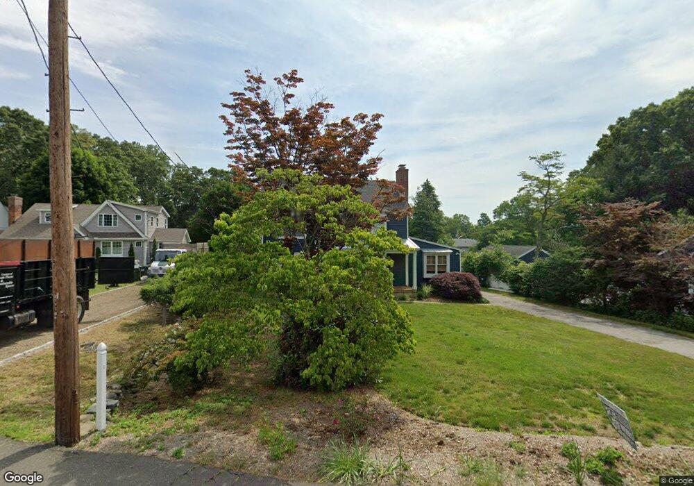
1745 Jennings Rd Fairfield, CT 06824
University NeighborhoodEstimated Value: $908,000 - $1,482,062
3
Beds
2
Baths
1,495
Sq Ft
$767/Sq Ft
Est. Value
About This Home
This home is located at 1745 Jennings Rd, Fairfield, CT 06824 and is currently estimated at $1,146,266, approximately $766 per square foot. 1745 Jennings Rd is a home located in Fairfield County with nearby schools including Osborn Hill Elementary School, Fairfield Woods Middle School, and Fairfield Ludlowe High School.
Ownership History
Date
Name
Owned For
Owner Type
Purchase Details
Closed on
Oct 17, 2008
Sold by
Rentz Robert G and Rentz James R
Bought by
Oconnor Michael T and Dunn Alison L
Current Estimated Value
Home Financials for this Owner
Home Financials are based on the most recent Mortgage that was taken out on this home.
Original Mortgage
$380,000
Interest Rate
6.41%
Create a Home Valuation Report for This Property
The Home Valuation Report is an in-depth analysis detailing your home's value as well as a comparison with similar homes in the area
Home Values in the Area
Average Home Value in this Area
Purchase History
| Date | Buyer | Sale Price | Title Company |
|---|---|---|---|
| Oconnor Michael T | $475,000 | -- | |
| Oconnor Michael T | $475,000 | -- |
Source: Public Records
Mortgage History
| Date | Status | Borrower | Loan Amount |
|---|---|---|---|
| Open | Oconnor Michael T | $100,000 | |
| Open | Oconnor Michael T | $379,000 | |
| Closed | Oconnor Michael T | $380,000 |
Source: Public Records
Tax History Compared to Growth
Tax History
| Year | Tax Paid | Tax Assessment Tax Assessment Total Assessment is a certain percentage of the fair market value that is determined by local assessors to be the total taxable value of land and additions on the property. | Land | Improvement |
|---|---|---|---|---|
| 2025 | $16,318 | $574,770 | $332,290 | $242,480 |
| 2024 | $16,036 | $574,770 | $332,290 | $242,480 |
| 2023 | $15,812 | $574,770 | $332,290 | $242,480 |
| 2022 | $15,657 | $574,770 | $332,290 | $242,480 |
| 2021 | $15,507 | $574,770 | $332,290 | $242,480 |
| 2020 | $13,945 | $520,520 | $272,720 | $247,800 |
| 2019 | $10,393 | $387,940 | $272,720 | $115,220 |
| 2018 | $9,704 | $368,130 | $272,720 | $95,410 |
| 2017 | $9,505 | $368,130 | $272,720 | $95,410 |
| 2016 | $9,369 | $368,130 | $272,720 | $95,410 |
| 2015 | $9,317 | $375,830 | $290,360 | $85,470 |
| 2014 | $9,170 | $375,830 | $290,360 | $85,470 |
Source: Public Records
Map
Nearby Homes
- 15 Barton Rd
- 133 Green Acre Ln
- 168 Wormwood Rd
- 122 Colony St
- 38 Edge Hill Rd
- 478 Crestwood Rd
- 2180 Kings Hwy Unit 1
- 68 Figlar Ave
- 274 High St
- 20 Ermine St
- 109 Jeniford Rd
- 44 Deer Run Rd
- 45 Robin Cir
- 42 Robin Cir
- 105 Charter Oak Rd
- 450 Davidson St
- 359 Reid St
- 270 Andrassy Ave
- 361 Riverside Dr
- 105 Fox St Unit 107
- 204 Quaker Ln
- 1747 Jennings Rd
- 192 Quaker Ln
- 1717 Jennings Rd
- 207 Quaker Ln
- 1685 Jennings Rd
- 1712 Jennings Rd
- 1767 Jennings Rd
- 95 Barton Rd
- 1698 Jennings Rd
- 81 Barton Rd
- 195 Quaker Ln
- 201 Quaker Ln
- 111 Barton Rd
- 1742 Jennings Rd
- 1783 Jennings Rd
- 1676 Jennings Rd
- 1728 Jennings Rd
- 55 Barton Rd
- 1651 Jennings Rd