1745 Lancaster Newark Rd NE Lancaster, OH 43130
Estimated Value: $497,000 - $646,000
3
Beds
5
Baths
3,095
Sq Ft
$185/Sq Ft
Est. Value
About This Home
This home is located at 1745 Lancaster Newark Rd NE, Lancaster, OH 43130 and is currently estimated at $573,707, approximately $185 per square foot. 1745 Lancaster Newark Rd NE is a home located in Fairfield County with nearby schools including Medill Elementary School, Thomas Ewing Junior High School, and Lancaster High School.
Ownership History
Date
Name
Owned For
Owner Type
Purchase Details
Closed on
Jul 22, 2019
Sold by
Mitchell Michael D and Mitchell Denise L
Bought by
Mitchell Michael D and Mitchel D Mitchell R Michael D
Current Estimated Value
Purchase Details
Closed on
Jan 12, 2015
Sold by
Mitchell Denise L and Mitchell Michael D
Bought by
Mitchell Michael D and Mitchell Denise L
Create a Home Valuation Report for This Property
The Home Valuation Report is an in-depth analysis detailing your home's value as well as a comparison with similar homes in the area
Home Values in the Area
Average Home Value in this Area
Purchase History
| Date | Buyer | Sale Price | Title Company |
|---|---|---|---|
| Mitchell Michael D | -- | None Available | |
| Mitchell Michael D | -- | Attorney |
Source: Public Records
Tax History Compared to Growth
Tax History
| Year | Tax Paid | Tax Assessment Tax Assessment Total Assessment is a certain percentage of the fair market value that is determined by local assessors to be the total taxable value of land and additions on the property. | Land | Improvement |
|---|---|---|---|---|
| 2024 | $15,133 | $168,330 | $37,460 | $130,870 |
| 2023 | $6,135 | $168,330 | $37,460 | $130,870 |
| 2022 | $6,161 | $168,330 | $37,460 | $130,870 |
| 2021 | $6,287 | $160,920 | $37,460 | $123,460 |
| 2020 | $6,025 | $160,920 | $37,460 | $123,460 |
| 2019 | $5,729 | $160,920 | $37,460 | $123,460 |
| 2018 | $5,303 | $130,630 | $37,460 | $93,170 |
| 2017 | $5,305 | $141,420 | $37,460 | $103,960 |
| 2016 | $5,167 | $141,420 | $37,460 | $103,960 |
| 2015 | $5,151 | $136,810 | $37,460 | $99,350 |
| 2014 | $4,907 | $136,810 | $37,460 | $99,350 |
| 2013 | $4,907 | $136,810 | $37,460 | $99,350 |
Source: Public Records
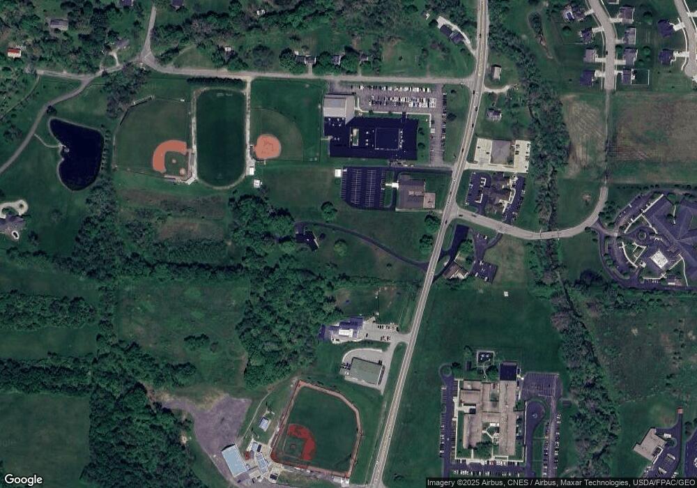
Map
Nearby Homes
- 1916 Country Place
- 173 Lakeview Dr NE
- 715 Sherman Bluff Way Unit 14715
- 1801 Pleasantview Dr NE
- 1189 Ridge Rd NE
- 2149 Pleasantview Dr NE
- 534 Overlook Dr NE
- 319 Greenfield Ave
- 1799 Declaration Dr W
- 100 Wilson Ave
- 0 Declaration Dr W Unit 219044159
- 1523 Fuller Ct
- 1190 N Columbus St
- 1415 Epworth Forest Dr
- 626 Rainbow Dr NW
- 1760 Rainbow Dr NE
- 0 Wacker Dr Unit 225036189
- 0 Old Millersport Rd NE Unit Tract 8 224028101
- 0 Old Millersport Rd NE Unit Lot 10 225033491
- 0 Old Millersport Rd NE Unit 225010386
- 1750 Granville Pike
- 1750 Granville Pike Unit 1756
- 1750 Lancaster-Newark Rd NE
- 586 Mondhank Rd NE
- 618 Mondhank Rd NE
- 632 Mondhank Rd NE
- 1781 Countryside Dr
- 524 Mondhank Rd NE
- 1816 Granville Pike
- 690 Mondhank Rd NE
- 1909 Lancaster Newark Rd NE
- 1909 Granville Pike
- 1550 Stringtown Rd NE
- 1494 Stringtown Rd NE
- 1541 Stringtown Rd NE
- 1575 Stringtown Rd NE
- 1911 Country Place
- 1489 Stringtown Rd NE
- 704 Creekside Dr
- 1951 Lancaster Newark Rd NE