Estimated Value: $176,000 - $685,898
3
Beds
1
Bath
1,531
Sq Ft
$279/Sq Ft
Est. Value
About This Home
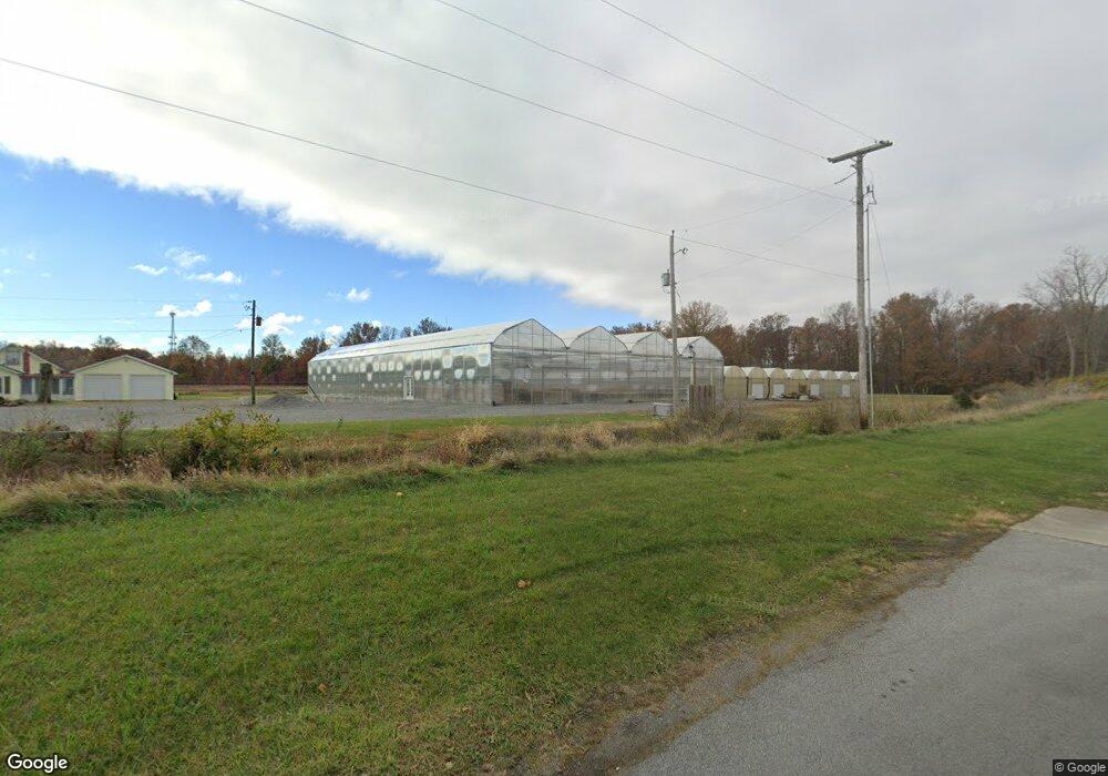
This home is located at 1745 N Cole St, Lima, OH 45801 and is currently estimated at $427,725, approximately $279 per square foot. 1745 N Cole St is a home located in Allen County with nearby schools including Elida Elementary School, Elida Middle School, and Elida High School.
Ownership History
Date
Name
Owned For
Owner Type
Purchase Details
Closed on
Apr 21, 2017
Sold by
Ludwig Robert L
Bought by
Dahlinghaus Ventures Llc
Current Estimated Value
Home Financials for this Owner
Home Financials are based on the most recent Mortgage that was taken out on this home.
Original Mortgage
$171,500
Outstanding Balance
$88,643
Interest Rate
4.21%
Mortgage Type
Commercial
Estimated Equity
$339,082
Purchase Details
Closed on
Sep 15, 2005
Sold by
Ludwig Maria Yolanda
Bought by
Ludwig Robert L
Purchase Details
Closed on
Jul 2, 1993
Sold by
Evans Willard W
Bought by
Ludwig Robert L
Purchase Details
Closed on
Jan 1, 1990
Bought by
Evans Willard W
Create a Home Valuation Report for This Property
The Home Valuation Report is an in-depth analysis detailing your home's value as well as a comparison with similar homes in the area
Home Values in the Area
Average Home Value in this Area
Purchase History
| Date | Buyer | Sale Price | Title Company |
|---|---|---|---|
| Dahlinghaus Ventures Llc | $350,000 | None Available | |
| Ludwig Robert L | -- | None Available | |
| Ludwig Robert L | $61,000 | -- | |
| Evans Willard W | -- | -- |
Source: Public Records
Mortgage History
| Date | Status | Borrower | Loan Amount |
|---|---|---|---|
| Open | Dahlinghaus Ventures Llc | $171,500 |
Source: Public Records
Tax History Compared to Growth
Tax History
| Year | Tax Paid | Tax Assessment Tax Assessment Total Assessment is a certain percentage of the fair market value that is determined by local assessors to be the total taxable value of land and additions on the property. | Land | Improvement |
|---|---|---|---|---|
| 2024 | $3,974 | $89,260 | $20,620 | $68,640 |
| 2023 | $3,921 | $78,300 | $18,100 | $60,200 |
| 2022 | $3,988 | $78,300 | $18,100 | $60,200 |
| 2021 | $3,233 | $63,080 | $18,100 | $44,980 |
| 2020 | $2,112 | $38,230 | $16,560 | $21,670 |
| 2019 | $2,112 | $38,230 | $16,560 | $21,670 |
| 2018 | $1,803 | $38,230 | $16,560 | $21,670 |
| 2017 | $1,461 | $36,270 | $16,560 | $19,710 |
| 2016 | $1,458 | $36,270 | $16,560 | $19,710 |
| 2015 | $1,435 | $36,270 | $16,560 | $19,710 |
| 2014 | $1,435 | $34,900 | $16,560 | $18,340 |
| 2013 | $1,291 | $34,900 | $16,560 | $18,340 |
Source: Public Records
Map
Nearby Homes
- 1580 W Robb Ave
- 1710 Camp Ave
- 0 Sherman Ave
- 2129 Reinell Ave
- 1744 Homeward Ave
- 00 Homeward Ave
- 1730 Homeward Ave
- 1919 Jared Place
- 2268 N Glenwood Ave
- 849 Runyan Ave
- 1113 Crestwood Dr
- 765 W O'Connor Ave
- 102 Charwood Dr
- 2371 Mandolin Dr
- 1848 Edgewood Dr
- 700 Lewis Blvd
- 2104 Virginia Ave
- 1776 Virginia Ave
- 610 W Robb Ave
- 1116 Belvidere Ave
- 1852 Brookhaven Dr
- 1856 Brookhaven Dr
- 1856 Brookhaven Dr Unit 1856 Brookhaven Dr
- 1860 Brookhaven Dr
- 1848 Brookhaven Dr
- 1740 N Cole St
- 1864 Brookhaven Dr
- 1760 N Cole St
- 1195 Bikini Dr
- 1190 Bikini Dr
- 1868 Brookhaven Dr
- 1842 Brookhaven Dr
- 1152 Biscayne Dr
- 1670 N Cole St
- 1189 Bikini Dr
- 1187 Bay Circle St
- 1148 Biscayne Dr
- 1180 Bikini Dr