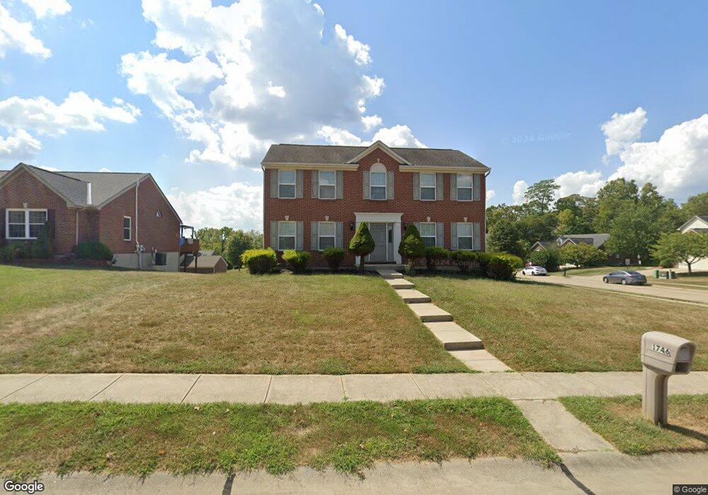
1746 Bingham Cir Unit 224NP Hebron, KY 41048
Estimated Value: $356,000 - $391,000
4
Beds
3
Baths
1,950
Sq Ft
$189/Sq Ft
Est. Value
About This Home
This home is located at 1746 Bingham Cir Unit 224NP, Hebron, KY 41048 and is currently estimated at $368,410, approximately $188 per square foot. 1746 Bingham Cir Unit 224NP is a home located in Boone County with nearby schools including North Pointe Elementary School, Conner Middle School, and Conner High School.
Ownership History
Date
Name
Owned For
Owner Type
Purchase Details
Closed on
Apr 12, 2021
Sold by
Snodgrass Robert E and Snodgrass Wendy D
Bought by
Sargent Anthony W and Sargent Rheagan J
Current Estimated Value
Home Financials for this Owner
Home Financials are based on the most recent Mortgage that was taken out on this home.
Original Mortgage
$260,200
Outstanding Balance
$234,929
Interest Rate
3%
Mortgage Type
FHA
Estimated Equity
$133,481
Purchase Details
Closed on
Jun 29, 2008
Sold by
Arlinghaus Builders Llc
Bought by
Snodgrass Robert E and Snodgrass Wendy D
Home Financials for this Owner
Home Financials are based on the most recent Mortgage that was taken out on this home.
Original Mortgage
$198,432
Interest Rate
6.03%
Mortgage Type
FHA
Create a Home Valuation Report for This Property
The Home Valuation Report is an in-depth analysis detailing your home's value as well as a comparison with similar homes in the area
Home Values in the Area
Average Home Value in this Area
Purchase History
| Date | Buyer | Sale Price | Title Company |
|---|---|---|---|
| Sargent Anthony W | $265,000 | Northwest Ttl Fam Of Compani | |
| Snodgrass Robert E | $200,000 | Lawyers Title Of Cincinnati |
Source: Public Records
Mortgage History
| Date | Status | Borrower | Loan Amount |
|---|---|---|---|
| Open | Sargent Anthony W | $260,200 | |
| Previous Owner | Snodgrass Robert E | $198,432 |
Source: Public Records
Tax History Compared to Growth
Tax History
| Year | Tax Paid | Tax Assessment Tax Assessment Total Assessment is a certain percentage of the fair market value that is determined by local assessors to be the total taxable value of land and additions on the property. | Land | Improvement |
|---|---|---|---|---|
| 2024 | $2,827 | $265,000 | $35,000 | $230,000 |
| 2023 | $2,905 | $265,000 | $35,000 | $230,000 |
| 2022 | $2,843 | $265,000 | $35,000 | $230,000 |
| 2021 | $2,217 | $200,000 | $28,000 | $172,000 |
| 2020 | $2,182 | $200,000 | $28,000 | $172,000 |
| 2019 | $2,199 | $200,000 | $28,000 | $172,000 |
| 2018 | $2,239 | $200,000 | $28,000 | $172,000 |
| 2017 | $2,180 | $200,000 | $28,000 | $172,000 |
| 2015 | $2,164 | $200,000 | $28,000 | $172,000 |
| 2013 | -- | $200,000 | $28,000 | $172,000 |
Source: Public Records
Map
Nearby Homes
- 1218 Breckenridge Ln
- 1195 Breckenridge Ln
- 1215 Breckenridge Ln
- 1843 Emory Ct
- 1963 Greyfield Trail
- 1353 Dominion Trail
- 803 N Bend Rd Unit 6
- The Jefferson Plan at North Pointe
- The Bristol Plan at North Pointe
- The Austin Plan at North Pointe
- The Rosewood Plan at North Pointe
- The Ella Marie Plan at North Pointe
- The Lancaster Plan at North Pointe
- The Morgan Plan at North Pointe
- The Madison Plan at North Pointe
- The Mariemont Plan at North Pointe
- The Kendall Plan at North Pointe
- The Avalon Plan at North Pointe
- The Westchester Plan at North Pointe
- The Camden Plan at North Pointe
- 1746 Bingham Cir
- 1746 Binghan Cir
- 1742 Bingham Cir
- 1742 Bingham Cir Unit 223NP
- 1898 Emory Ct
- 1738 Bingham Cir
- 1738 Bingham Cir Unit 222NP
- 1878 Emory Ct
- 1902 Emory Ct
- 1902 Emory Ct Unit 226NP
- 1883 Emory Ct
- 1879 Emory Ct
- 1887 Emory Ct
- 1891 Emory Ct
- 1906 Emory Ct
- 1906 Emory Ct Unit 227NP
- 1837 Cantwell Ct
- 1734 Bingham Cir Unit 221NP
- 1875 Emory Ct
- 1874 Emory Ct