1746 Blackwell Rd Walnut Cove, NC 27052
Estimated Value: $292,000 - $383,000
3
Beds
3
Baths
1,883
Sq Ft
$180/Sq Ft
Est. Value
About This Home
This home is located at 1746 Blackwell Rd, Walnut Cove, NC 27052 and is currently estimated at $338,808, approximately $179 per square foot. 1746 Blackwell Rd is a home located in Stokes County with nearby schools including Pine Hall Elementary School, Southeastern Stokes Middle School, and South Stokes High.
Ownership History
Date
Name
Owned For
Owner Type
Purchase Details
Closed on
Nov 23, 2015
Sold by
Schranz Barbara
Bought by
Gilstrap David M and Gilstrap Melanie
Current Estimated Value
Home Financials for this Owner
Home Financials are based on the most recent Mortgage that was taken out on this home.
Original Mortgage
$226,000
Outstanding Balance
$136,178
Interest Rate
3.83%
Mortgage Type
New Conventional
Estimated Equity
$202,630
Purchase Details
Closed on
Jun 30, 2011
Sold by
Mannary Robin L and Lorusso Richard Thomas
Bought by
Schranz Barbara and Gilstrap David M
Home Financials for this Owner
Home Financials are based on the most recent Mortgage that was taken out on this home.
Original Mortgage
$159,067
Interest Rate
4.57%
Mortgage Type
New Conventional
Purchase Details
Closed on
Mar 11, 2011
Sold by
Mannary Robin L and Kennedy Jeffery G
Bought by
Mannary Robin L
Create a Home Valuation Report for This Property
The Home Valuation Report is an in-depth analysis detailing your home's value as well as a comparison with similar homes in the area
Home Values in the Area
Average Home Value in this Area
Purchase History
| Date | Buyer | Sale Price | Title Company |
|---|---|---|---|
| Gilstrap David M | -- | Attorney | |
| Schranz Barbara | $153,500 | None Available | |
| Mannary Robin L | -- | None Available |
Source: Public Records
Mortgage History
| Date | Status | Borrower | Loan Amount |
|---|---|---|---|
| Open | Gilstrap David M | $226,000 | |
| Previous Owner | Schranz Barbara | $159,067 |
Source: Public Records
Tax History Compared to Growth
Tax History
| Year | Tax Paid | Tax Assessment Tax Assessment Total Assessment is a certain percentage of the fair market value that is determined by local assessors to be the total taxable value of land and additions on the property. | Land | Improvement |
|---|---|---|---|---|
| 2025 | $2,165 | $302,800 | $35,200 | $267,600 |
| 2024 | $2,165 | $227,600 | $28,400 | $199,200 |
| 2023 | $1,844 | $227,600 | $28,400 | $199,200 |
| 2022 | $1,684 | $227,600 | $28,400 | $199,200 |
| 2021 | $1,684 | $227,600 | $28,400 | $199,200 |
| 2020 | $1,441 | $194,700 | $21,300 | $173,400 |
| 2019 | $1,441 | $194,700 | $21,300 | $173,400 |
| 2018 | $1,441 | $194,700 | $21,300 | $173,400 |
| 2017 | $1,431 | $194,700 | $21,300 | $173,400 |
| 2016 | $1,369 | $186,200 | $21,300 | $164,900 |
| 2015 | $1,359 | $186,200 | $21,300 | $164,900 |
| 2014 | $1,392 | $186,200 | $21,300 | $164,900 |
Source: Public Records
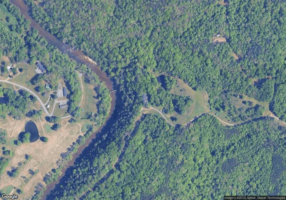
Map
Nearby Homes
- Lot 6 Ralph Tuttle Rd
- Lot 3 Bunker Hill Rd
- 0 Dodgetown Rd
- 3C Jimmie Bullins Rd
- 4D Jimmie Bullins Rd
- 1090 Tree Haven Ln
- 1040 Pink Smith Rd
- 0 Mary Ann Rd
- 0 Baileytown Church Rd
- 1010 Saint Charles Way
- 1283 Gene Martin Rd
- 3261 U S 311
- 2447 Piney Mountain Rd
- 1125 N Main St
- 1392 Mission Rd
- 1849 Mission Extension Rd
- 1031 Red Oak Dr
- 1833 Piney Mountain Rd
- 1012 Oldtown Rd
- 3136 K-Fork Rd
- 1145 Power House Rd
- 1107 Power House Rd
- 1095 Power House Rd
- 1060 Power House Rd
- 1060 Power House Rd
- 1918 Power Dam Rd
- 1926 Power Dam Rd
- 1395 Morgans Meadow Rd
- 1365 Morgans Meadow Rd
- 1789 Power Dam Rd
- 1742 Power Dam Rd
- 1728 Power Dam Rd
- 1080 Watson Rd
- 1731 Power Dam Rd
- 1696 Power Dam Rd
- 1692 Power Dam Rd
- 1693 Power Dam Rd
- 1345 Blackwell Rd
- 1466 Hickory Fork Rd
- 1650 Power Dam Rd