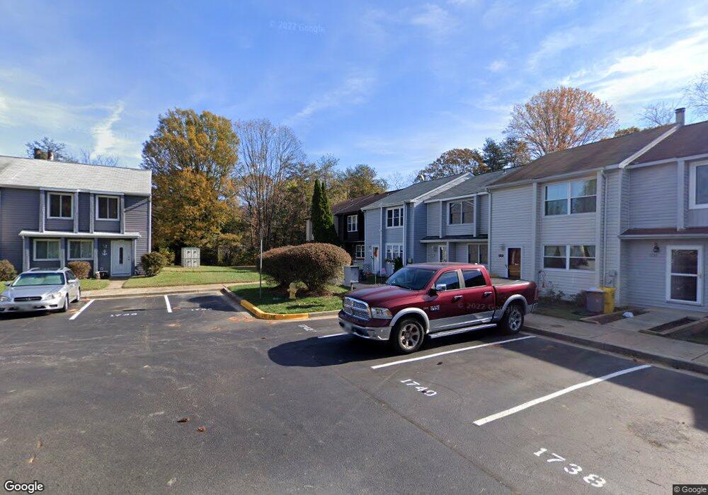
1746 Woodtree Cir Annapolis, MD 21409
Estimated Value: $355,373 - $405,000
--
Bed
2
Baths
1,496
Sq Ft
$258/Sq Ft
Est. Value
About This Home
This home is located at 1746 Woodtree Cir, Annapolis, MD 21409 and is currently estimated at $385,843, approximately $257 per square foot. 1746 Woodtree Cir is a home located in Anne Arundel County with nearby schools including Windsor Farm Elementary School, Severn River Middle School, and Broadneck High School.
Ownership History
Date
Name
Owned For
Owner Type
Purchase Details
Closed on
Jun 23, 1983
Bought by
Rucks Carl J and Rucks Kathleen J
Current Estimated Value
Home Financials for this Owner
Home Financials are based on the most recent Mortgage that was taken out on this home.
Original Mortgage
$67,075
Interest Rate
12.96%
Create a Home Valuation Report for This Property
The Home Valuation Report is an in-depth analysis detailing your home's value as well as a comparison with similar homes in the area
Home Values in the Area
Average Home Value in this Area
Purchase History
| Date | Buyer | Sale Price | Title Company |
|---|---|---|---|
| Rucks Carl J | $73,100 | -- |
Source: Public Records
Mortgage History
| Date | Status | Borrower | Loan Amount |
|---|---|---|---|
| Closed | Rucks Carl J | $67,075 |
Source: Public Records
Tax History Compared to Growth
Tax History
| Year | Tax Paid | Tax Assessment Tax Assessment Total Assessment is a certain percentage of the fair market value that is determined by local assessors to be the total taxable value of land and additions on the property. | Land | Improvement |
|---|---|---|---|---|
| 2025 | $2,503 | $327,333 | -- | -- |
| 2024 | $2,503 | $315,000 | $160,000 | $155,000 |
| 2023 | $2,423 | $301,267 | $0 | $0 |
| 2022 | $2,256 | $287,533 | $0 | $0 |
| 2021 | $4,420 | $273,800 | $140,000 | $133,800 |
| 2020 | $2,131 | $267,033 | $0 | $0 |
| 2019 | $2,096 | $260,267 | $0 | $0 |
| 2018 | $2,570 | $253,500 | $115,000 | $138,500 |
| 2017 | $1,971 | $238,833 | $0 | $0 |
| 2016 | -- | $224,167 | $0 | $0 |
| 2015 | -- | $209,500 | $0 | $0 |
| 2014 | -- | $209,500 | $0 | $0 |
Source: Public Records
Map
Nearby Homes
- 1742 Woodtree Cir
- 332 Charred Oak Ct
- 1424 Millwood Ct
- 1583 Star Pine Dr
- 1116 Riverboat Ct
- 1553 Star Pine Dr
- 78 Old Mill Bottom Rd N
- B2 Plan at Element at Mill Creek
- Element 3 Bed Plan at Element at Mill Creek
- B3 Plan at Element at Mill Creek
- B4 Plan at Element at Mill Creek
- C1 Plan at Element at Mill Creek
- B2 Alt Reverse Plan at Element at Mill Creek
- A1 Plan at Element at Mill Creek
- Element 2 Bed Plan at Element at Mill Creek
- C2 Plan at Element at Mill Creek
- 78 Old Mill Bottom Rd N Unit 107
- B1 Plan at Element at Mill Creek
- B1 Alt-1 Plan at Element at Mill Creek
- Element 1 Bed Plan at Element at Mill Creek
- 1744 Woodtree Cir
- 1740 Woodtree Cir
- 1738 Woodtree Cir
- 1748 Woodtree Cir
- 1736 Woodtree Cir
- 1750 Woodtree Cir
- 1734 Woodtree Cir
- 1752 Woodtree Cir
- 1754 Woodtree Cir
- 1756 Woodtree Cir
- 342 Charred Oak Ct
- 1758 Woodtree Cir
- 340 Charred Oak Ct
- 338 Charred Oak Ct
- 336 Charred Oak Ct
- 1760 Woodtree Cir
- 1732 Woodtree Cir
- 334 Charred Oak Ct
- 372 Blossom Tree Dr
- 1476 Breezewood Ct