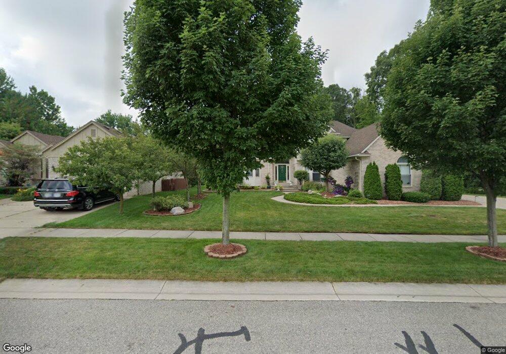
1747 Gilsam Ave Rochester Hills, MI 48309
Estimated Value: $512,857 - $582,000
3
Beds
4
Baths
2,470
Sq Ft
$225/Sq Ft
Est. Value
About This Home
This home is located at 1747 Gilsam Ave, Rochester Hills, MI 48309 and is currently estimated at $555,464, approximately $224 per square foot. 1747 Gilsam Ave is a home located in Oakland County with nearby schools including Woodland Elementary School, Avondale Middle School, and Avondale High School.
Ownership History
Date
Name
Owned For
Owner Type
Purchase Details
Closed on
Aug 19, 2009
Sold by
Vazquez Antonio and Vazquez Pamela
Bought by
Kang Bogyu and Park Jinsuk Kang
Current Estimated Value
Create a Home Valuation Report for This Property
The Home Valuation Report is an in-depth analysis detailing your home's value as well as a comparison with similar homes in the area
Home Values in the Area
Average Home Value in this Area
Purchase History
| Date | Buyer | Sale Price | Title Company |
|---|---|---|---|
| Kang Bogyu | $262,000 | Multiple |
Source: Public Records
Tax History Compared to Growth
Tax History
| Year | Tax Paid | Tax Assessment Tax Assessment Total Assessment is a certain percentage of the fair market value that is determined by local assessors to be the total taxable value of land and additions on the property. | Land | Improvement |
|---|---|---|---|---|
| 2022 | $2,988 | $186,550 | $0 | $0 |
| 2018 | $4,545 | $178,470 | $0 | $0 |
| 2017 | $4,458 | $177,440 | $0 | $0 |
| 2015 | -- | $154,690 | $0 | $0 |
| 2014 | -- | $135,290 | $0 | $0 |
| 2011 | -- | $133,300 | $0 | $0 |
Source: Public Records
Map
Nearby Homes
- 1838 Alsdorf Ave
- 3226 Fantail Dr Unit 12
- 3315 Donley Ave
- 2106 Cattail Cir Unit 41
- 2119 Cattail Cir Unit 24
- 2179 Lagoon Dr Unit 19
- 3970 Cone Ave
- 2222 Sanctuary Ct Unit 2
- 1370 South Blvd W
- 6952 Granger Dr
- 538 Scone Dr
- 0000 Auburn
- 3706 Winding Brook Cir Unit U42
- 2658 Simpson Dr
- 2568 Devondale Rd
- 273 Strawberry Dr
- 2579 Dearborn Ave
- 4444 Angara Dr
- 6817 Woodcrest Dr
- 2871 Harvey St
- 1733 Gilsam Ave
- 1777 Gilsam Ave
- 1719 Gilsam Ave
- 3305 Gilsam Ct
- 1705 Gilsam Ave
- 1797 Gilsam Ave
- 3306 Gilsam Ct
- 1776 Gilsam Ave
- 3291 Gilsam Ct
- 1760 Alsdorf Ave
- 1748 Alsdorf Ave
- 1748 Alsdorf Ave
- 1738 Alsdorf Ave
- 1691 Gilsam Ave
- 1790 Gilsam Ave
- 3292 Gilsam Ct
- 3278 Gilsam Ct
- 1817 Gilsam Ave
- 1726 Alsdorf Ave
- 1726 Alsdorf Ave