1748 Brannan Rd Mc Donough, GA 30253
Estimated Value: $1,549,210
--
Bed
3
Baths
6,096
Sq Ft
$254/Sq Ft
Est. Value
About This Home
This home is located at 1748 Brannan Rd, Mc Donough, GA 30253 and is currently estimated at $1,549,210, approximately $254 per square foot. 1748 Brannan Rd is a home located in Henry County with nearby schools including Union Grove Middle School, Union Grove High School, and Hickory Flat Elementary School.
Ownership History
Date
Name
Owned For
Owner Type
Purchase Details
Closed on
Apr 13, 2017
Sold by
Eagles Landing Christian C
Bought by
St Luke Lutheran Church Of Hen
Current Estimated Value
Home Financials for this Owner
Home Financials are based on the most recent Mortgage that was taken out on this home.
Original Mortgage
$550,000
Outstanding Balance
$423,041
Interest Rate
4.15%
Estimated Equity
$1,126,169
Purchase Details
Closed on
Nov 26, 2002
Sold by
Morningside Of Ga Lp
Bought by
Churc Eagles Landing Christian
Home Financials for this Owner
Home Financials are based on the most recent Mortgage that was taken out on this home.
Original Mortgage
$31,600
Interest Rate
6.15%
Mortgage Type
Commercial
Create a Home Valuation Report for This Property
The Home Valuation Report is an in-depth analysis detailing your home's value as well as a comparison with similar homes in the area
Home Values in the Area
Average Home Value in this Area
Purchase History
| Date | Buyer | Sale Price | Title Company |
|---|---|---|---|
| St Luke Lutheran Church Of Hen | $755,000 | -- | |
| Churc Eagles Landing Christian | -- | -- |
Source: Public Records
Mortgage History
| Date | Status | Borrower | Loan Amount |
|---|---|---|---|
| Open | St Luke Lutheran Church Of Hen | $550,000 | |
| Previous Owner | Churc Eagles Landing Christian | $31,600 |
Source: Public Records
Tax History Compared to Growth
Tax History
| Year | Tax Paid | Tax Assessment Tax Assessment Total Assessment is a certain percentage of the fair market value that is determined by local assessors to be the total taxable value of land and additions on the property. | Land | Improvement |
|---|---|---|---|---|
| 2025 | $669 | $376,760 | $229,480 | $147,280 |
| 2024 | $669 | $365,400 | $229,520 | $135,880 |
| 2023 | $669 | $365,920 | $229,520 | $136,400 |
| 2022 | $637 | $367,200 | $229,520 | $137,680 |
| 2021 | $637 | $368,480 | $229,520 | $138,960 |
| 2020 | $637 | $369,800 | $229,520 | $140,280 |
| 2019 | $333 | $371,080 | $229,520 | $141,560 |
| 2018 | $0 | $372,360 | $229,520 | $142,840 |
| 2016 | -- | $373,680 | $229,520 | $144,160 |
| 2015 | $330 | $371,800 | $229,520 | $142,280 |
| 2014 | $302 | $366,040 | $229,520 | $136,520 |
Source: Public Records
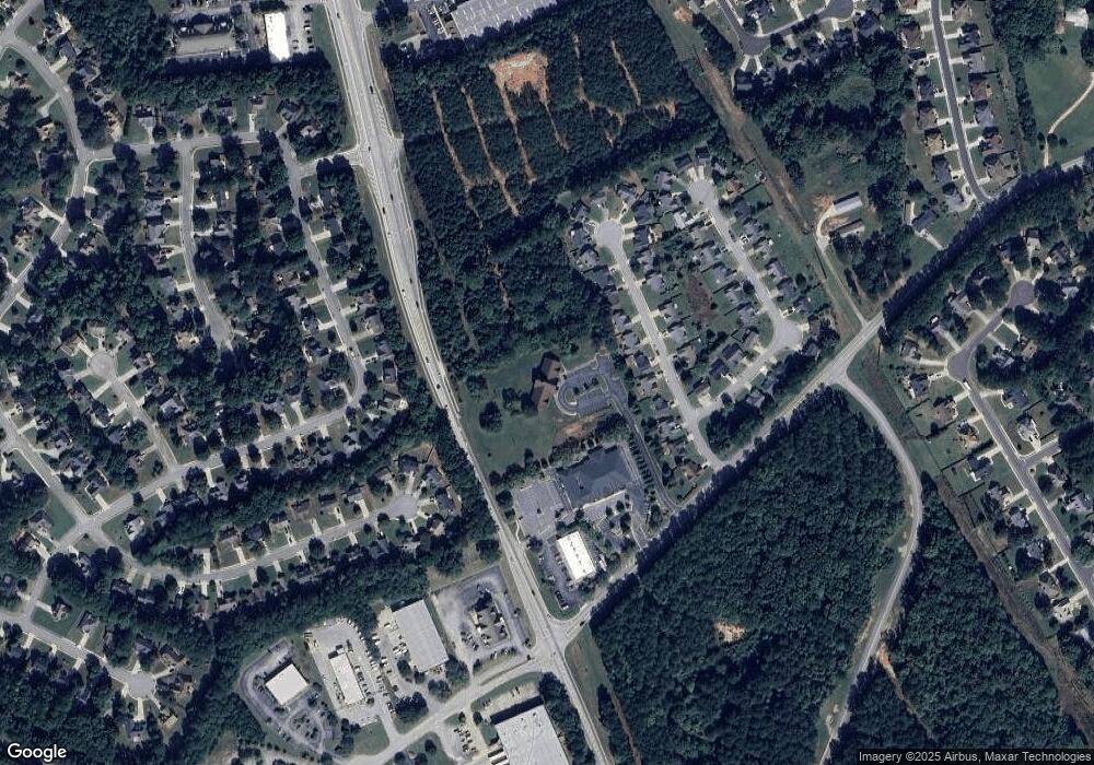
Map
Nearby Homes
- 941 Arbor Way
- 214 Kensington Trace
- 228 Kensington Trace
- 209 Kensington Trace
- 200 Kensington Trace
- 169 Parkside Dr
- 153 Rockport Dr
- 601 Sawgrass Walk
- 401 Crosshaven Way
- 733 Stonehaven Chase
- 104 Riverside Close
- 418 Abbey Springs Way
- 212 Himalaya Way
- 248 Cranapple Ln
- 146 Himalaya Way
- 312 Wichita Way
- 805 Cog Hill
- 1401 Aberdeen Ct
- 2572 Hwy 42 N
- 221 Brannans Walk
- 217 Brannans Walk
- 2570 Hwy 42 N
- 225 Brannans Walk Unit 1
- 213 Brannans Walk
- 213 Brannans Walk Unit 1
- 229 Brannans Walk
- 209 Brannans Walk
- 233 Brannans Walk
- 0 Brannans Walk Unit 8914354
- 0 Brannans Walk Unit 8183984
- 0 Brannans Walk Unit 3214976
- 0 Brannans Walk Unit 3251653
- 0 Brannans Walk Unit 7167213
- 0 Brannans Walk
- 205 Brannans Walk
- 2572 Georgia 42
- 258 Kensington Trace
- 237 Brannans Walk